MyTopo
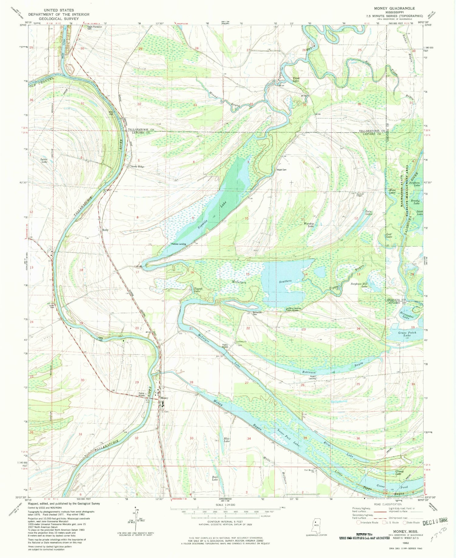
Classic USGS Money Mississippi 7.5'x7.5' Topo Map
Couldn't load pickup availability
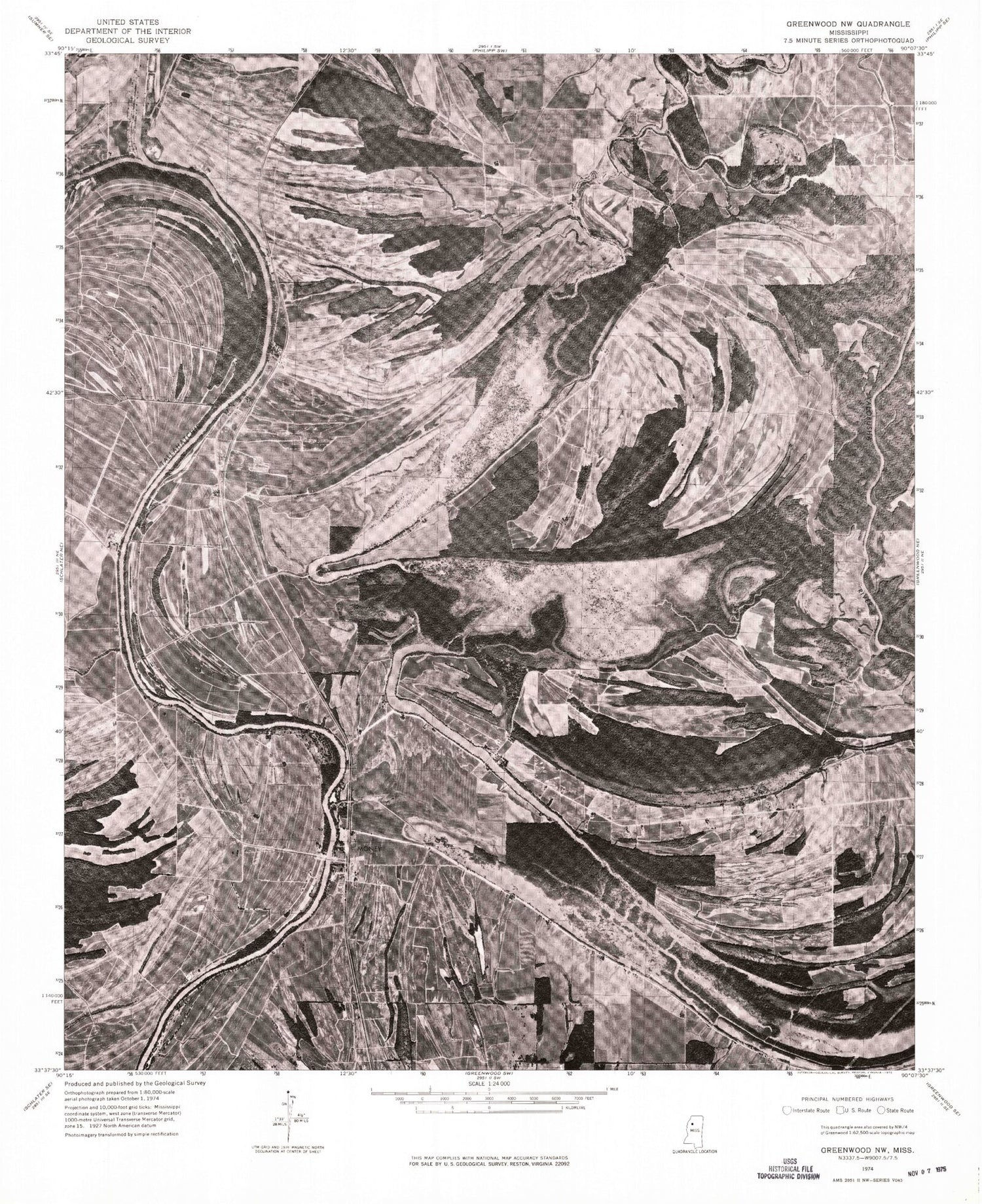
Historical USGS topographic quad map of Money in the state of Mississippi. Map scale may vary for some years, but is generally around 1:24,000. Print size is approximately 24" x 27"
This quadrangle is in the following counties: Carroll, Grenada, Leflore, Tallahatchie.
The map contains contour lines, roads, rivers, towns, and lakes. Printed on high-quality waterproof paper with UV fade-resistant inks, and shipped rolled.
Contains the following named places: Archula Landing, Bear Lake, Bernander Cemetery, Beulah Landing, Blue Lake, Brushy Lake, Church of God, Ditch Lake, Dry Bayou Landing, Eagle Plantation Cemetery, East Money Church, East Tippo Bayou, Eastmoney Cemetery, Ed Bledsoe Lake Dam, Elim Lake, Emerald, Evergreen Church, Ewings Landing, Float Road Bayou, Goose Pond, Grass Patch Lake, Grassy Lake, Green Chapel, Hayward Chapel, Hazard Landing, Horseshoe Lake, Jacks Lake, Landers Landing Public Access, Lanes Cemetery, Lanes Chapel, Lewis Lake, Little Tippo, Loch Lamond Landing, Lockloma Church, Lost Lake, Majet Cemetery, McIntyre Lake, McIntyre Scatters, Melrose Landing, Money, Money Bayou, Money Landing, Money Volunteer Fire Department, Moon Lake, Mound Bayou, New Hope Landing, Omega Landing, Peebles Landing, Powell Landing, Riverside Baptist Church, Robinson Bayou, Ruby, Ruby Landing, Sandy Ridge, Sandy Ridge Landing, Six Mile Lake, Sorghum Lake, Sorghum Mill Lake, Stancils Landing, Tippah Lake, Tippo Bayou, Trout Lake, Twin Lakes, Woodstock Landing, Worship Lake, Yuba Dam Landing, ZIP Code: 38950


