MyTopo
Classic USGS Monhegan Maine 7.5'x7.5' Topo Map
Couldn't load pickup availability
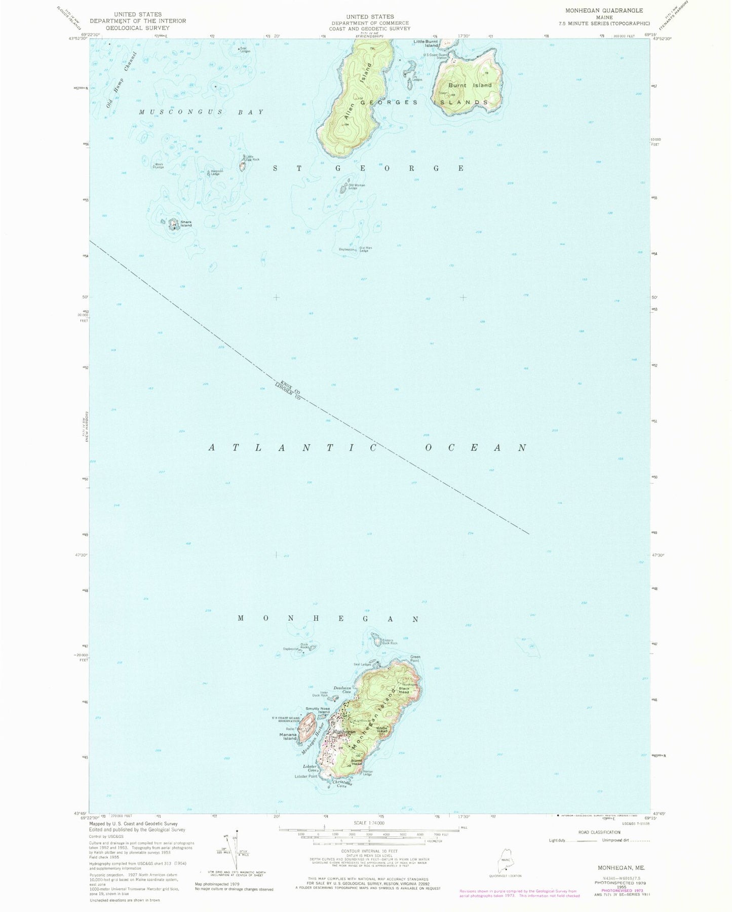
Historical USGS topographic quad map of Monhegan in the state of Maine. Typical map scale is 1:24,000, but may vary for certain years, if available. Print size: 24" x 27"
This quadrangle is in the following counties: Knox, Lincoln.
The map contains contour lines, roads, rivers, towns, and lakes. Printed on high-quality waterproof paper with UV fade-resistant inks, and shipped rolled.
Contains the following named places: Allen Island, Black Head, Burnt Head, Burnt Island, Christmas Cove, Deadman Cove, Dry Ledges, Duck Rocks, Eastern Duck Rock, Green Point, Harpoon Ledge, Inner Duck Rock, Little Burnt Island, Little Egg Rock, Lobster Cove, Lobster Point, Manana Island, Monhegan, Monhegan Harbor, Monhegan Island, Norton Ledge, Old Man Ledge, Old Woman Ledge, Seal Ledges, Seal Ledges, Shark Island, Smutty Nose Island, Wash Ledge, White Head, Georges Islands, Allen Shoal, Gull Rock Ledge, Little Egg Rock Shoals, Midway Rocks, Sunken Duck Rock, Plantation of Monhegan, Calf Cove, Lighthouse Hill, Little Whitehead, Manana Island Fog Station, Monhegan Island Light, Monhegan Island School, Monhegan Memorial Library, Monhegan Museum, Pebbly Beach, Pulpit Rock, Squeaker Cove, Monhegan Fire Department Station 1