MyTopo
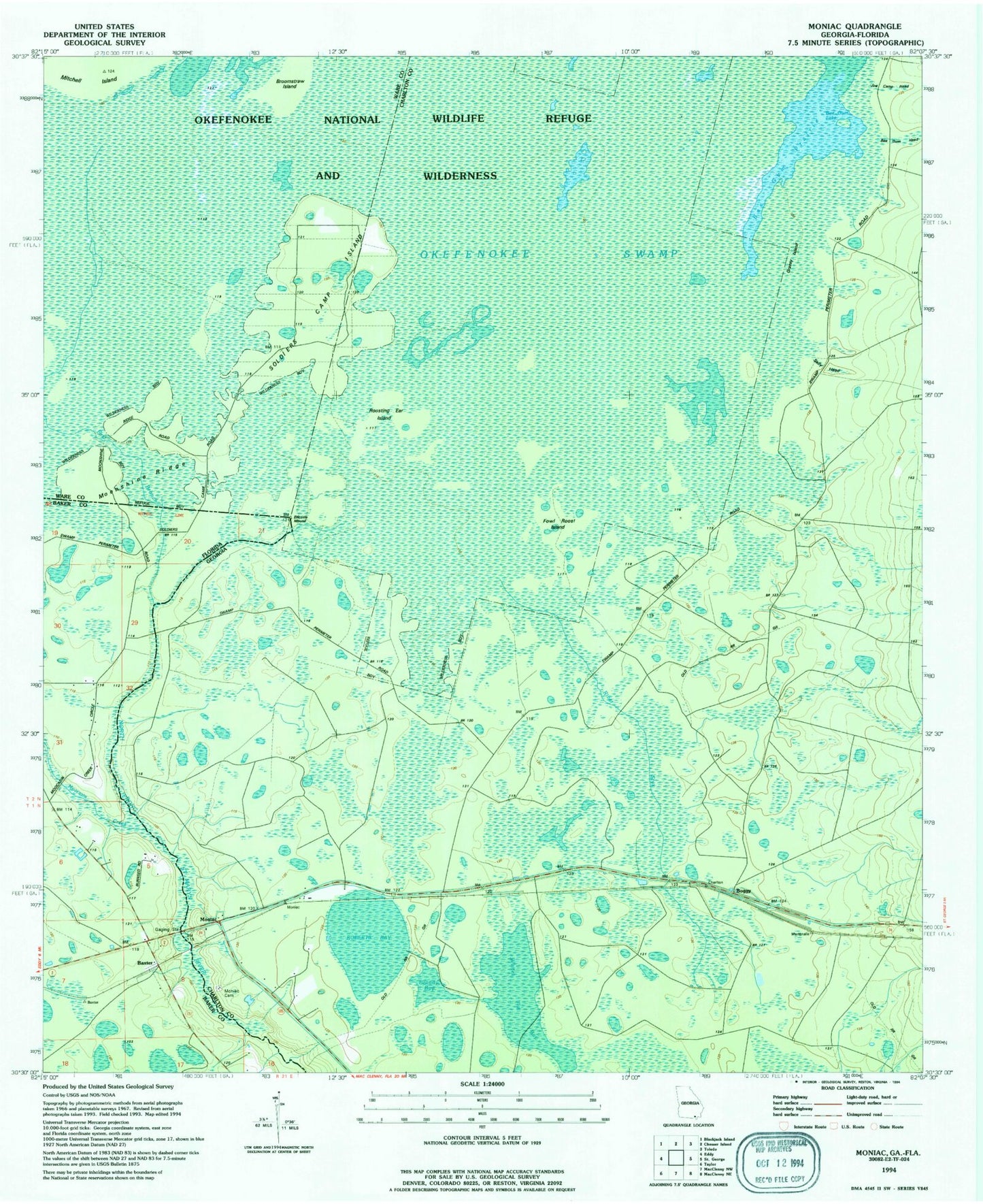
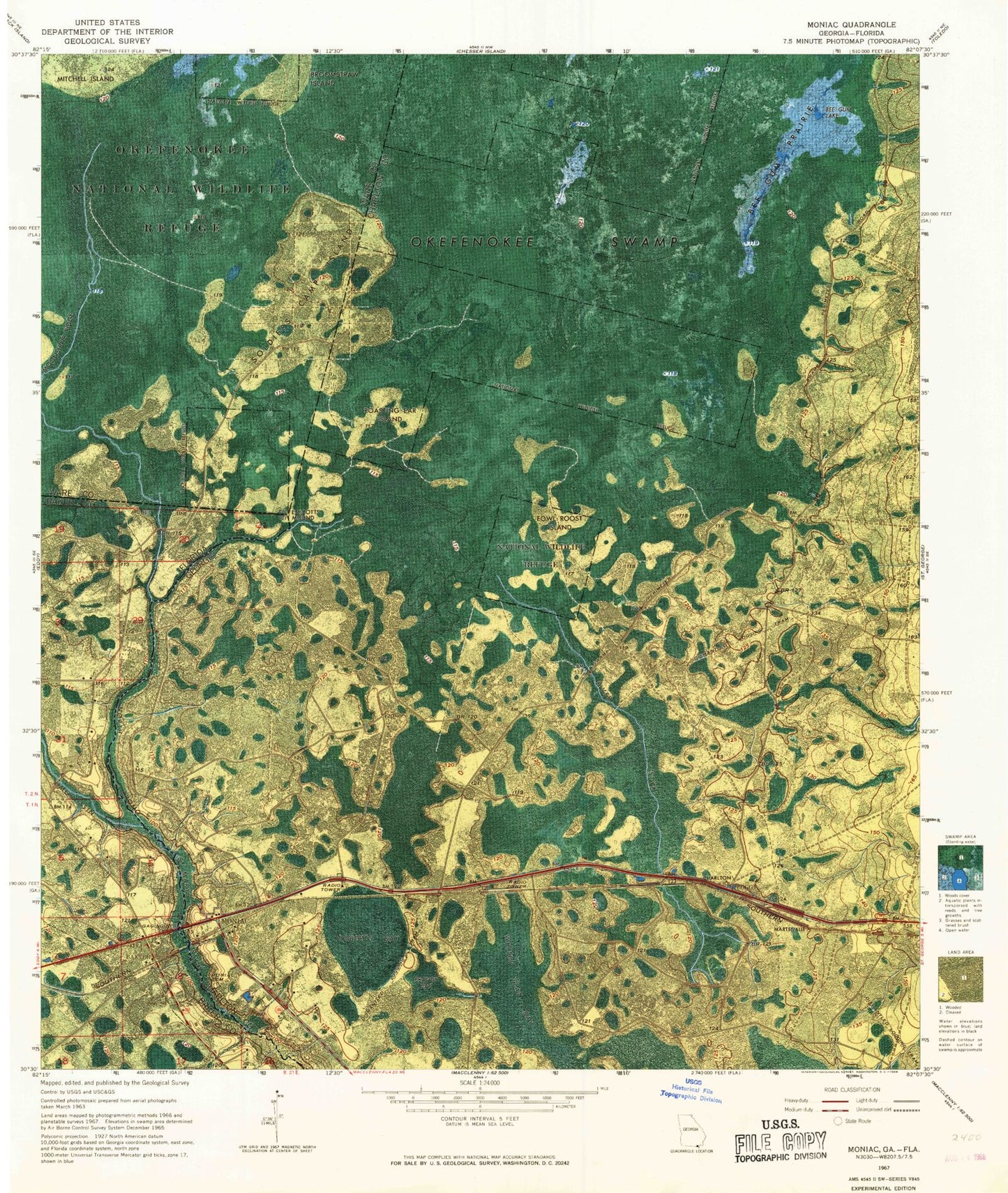
Classic USGS Moniac Georgia 7.5'x7.5' Topo Map
Couldn't load pickup availability
Historical USGS topographic quad map of Moniac in the states of Georgia, Florida. Map scale may vary for some years, but is generally around 1:24,000. Print size is approximately 24" x 27"
This quadrangle is in the following counties: Baker, Charlton, Ware.
The map contains contour lines, roads, rivers, towns, and lakes. Printed on high-quality waterproof paper with UV fade-resistant inks, and shipped rolled.
Contains the following named places: Baker County Fire Department Station 60 Baxter, Baxter, Bee Gum Lake, Bee Gum Prairie, Boggy, Brandy Bay, Broomstraw Island, Ellicotts Mound, Fowl Roost Island, Moccasin Creek, Moniac, Moniac Cemetery, River Styx, Roasting Ear Island, Roberts Bay, Rollinsons Ferry, Soldiers Camp Island, Whites Flat Bay