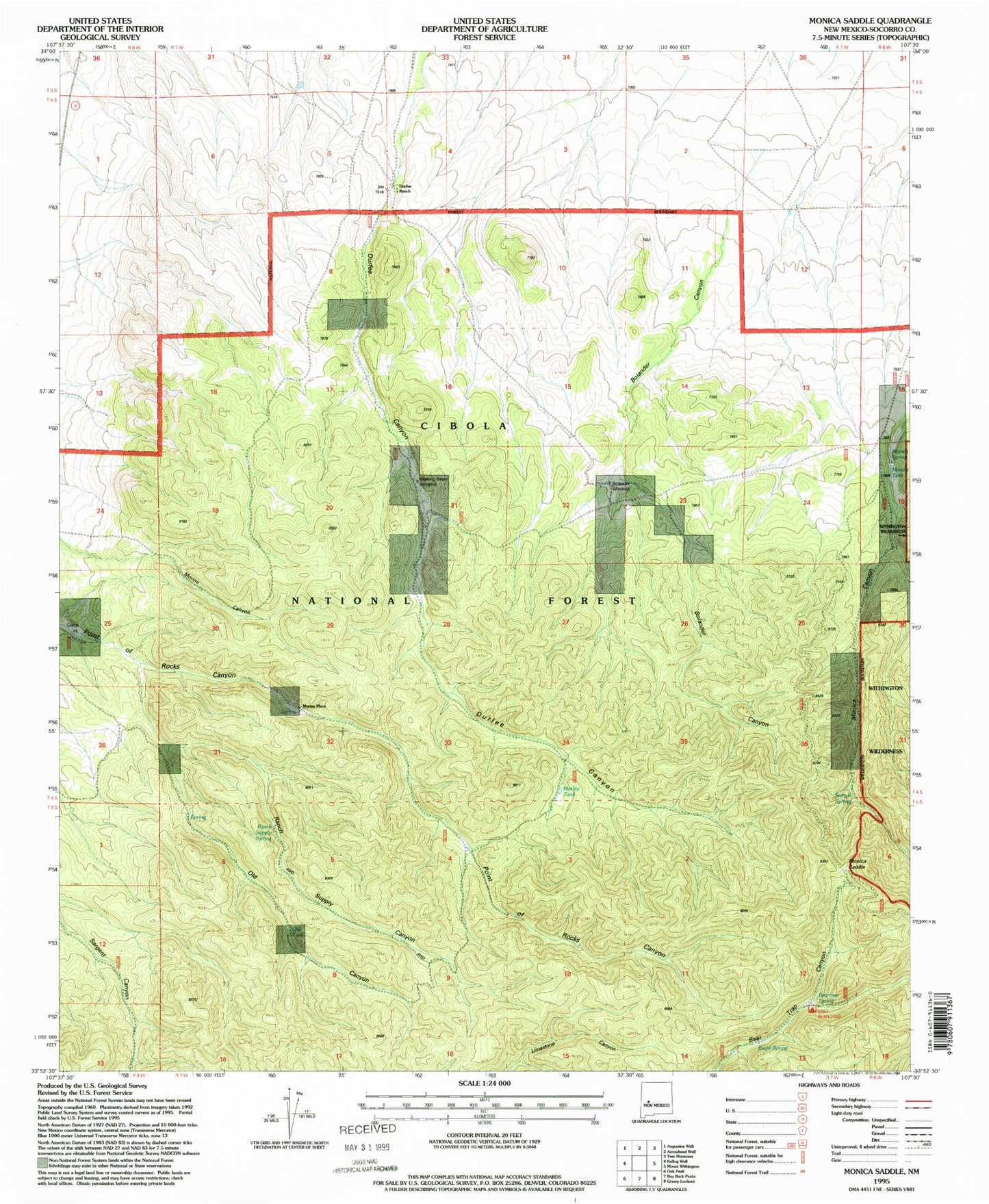
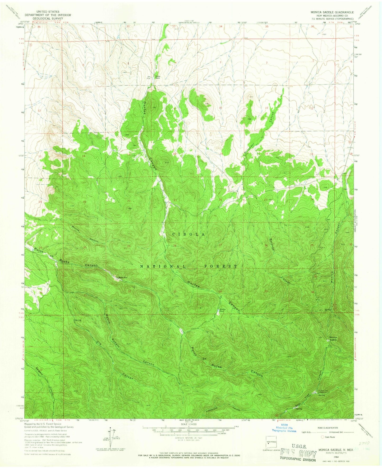
MyTopo
Classic USGS Monica Saddle New Mexico 7.5'x7.5' Topo Map
Couldn't load pickup availability
Historical USGS topographic quad map of Monica Saddle in the state of New Mexico. Map scale may vary for some years, but is generally around 1:24,000. Print size is approximately 24" x 27"
This quadrangle is in the following counties: Socorro.
The map contains contour lines, roads, rivers, towns, and lakes. Printed on high-quality waterproof paper with UV fade-resistant inks, and shipped rolled.
Contains the following named places: Beartrap Spring, Bolander Canyon, Bolander Water Well, Bolander Windmill, Durfee Ranch, Eagle Spring, East Bear Trap Campground, LIl Slash Water Well, Monica Saddle, Monica Spring, Monica Tank, Morine Place, Morley Tank, Old Canyon, Old Durfee Water Well, Old Tank, Point of Rock Well, Ranch Supply Canyon, Ranch Supply Spring, Switch Spring, Walking Beam Windmill