MyTopo
Classic USGS Monida Montana 7.5'x7.5' Topo Map
Regular price
$16.95
Regular price
Sale price
$16.95
Unit price
per
Couldn't load pickup availability
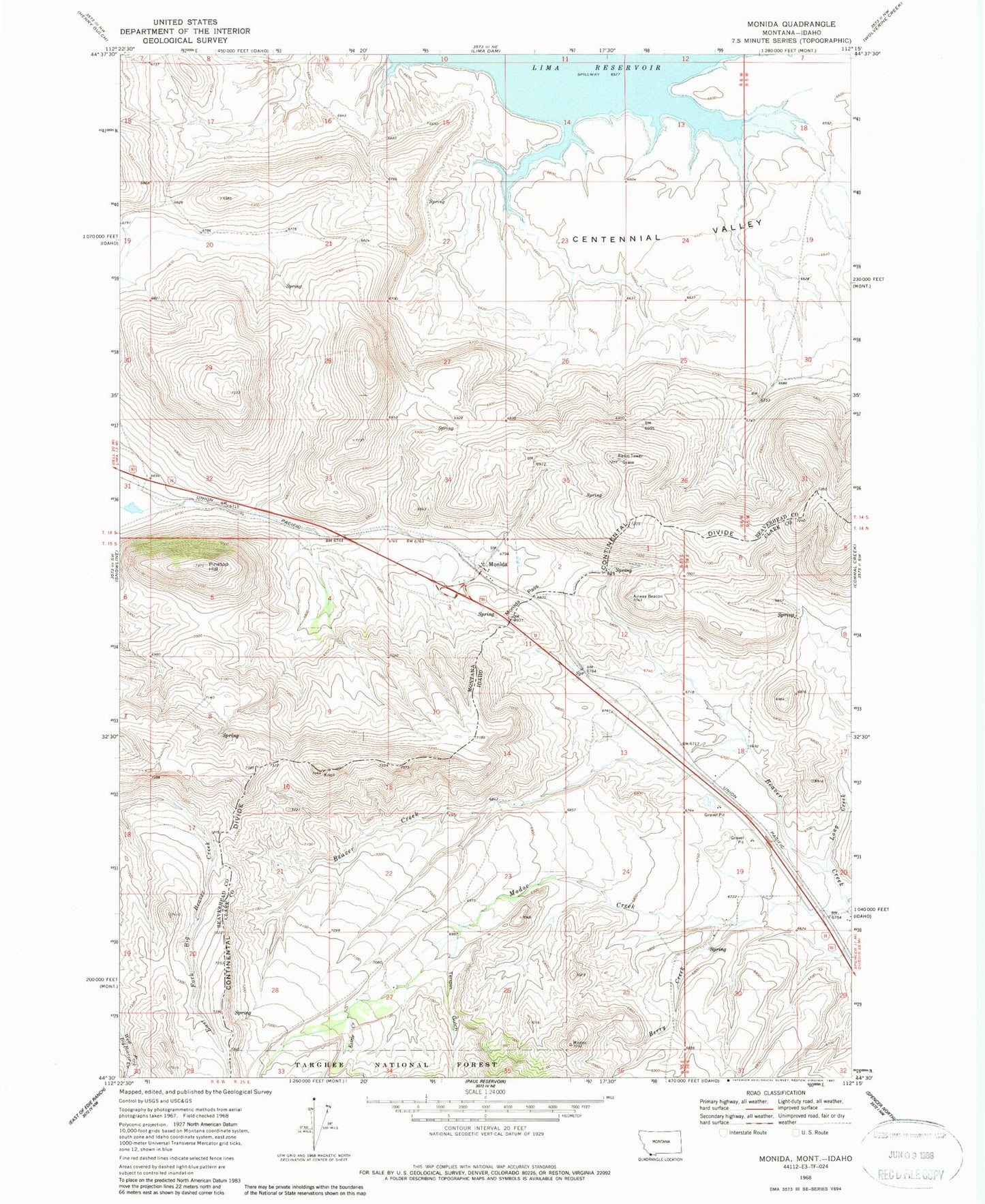
Historical USGS topographic quad map of Monida in the states of Montana, Idaho. Map scale may vary for some years, but is generally around 1:24,000. Print size is approximately 24" x 27"
This quadrangle is in the following counties: Beaverhead, Clark.
The map contains contour lines, roads, rivers, towns, and lakes. Printed on high-quality waterproof paper with UV fade-resistant inks, and shipped rolled.
Contains the following named places: Berry Creek, Kettle Creek, Knoll, Long Creek, Modoc Creek, Monida, Monida Pass, Monida Post Office, Monida School, Pine Butte Station, Pinetop Hill, Tenpin Gulch