MyTopo
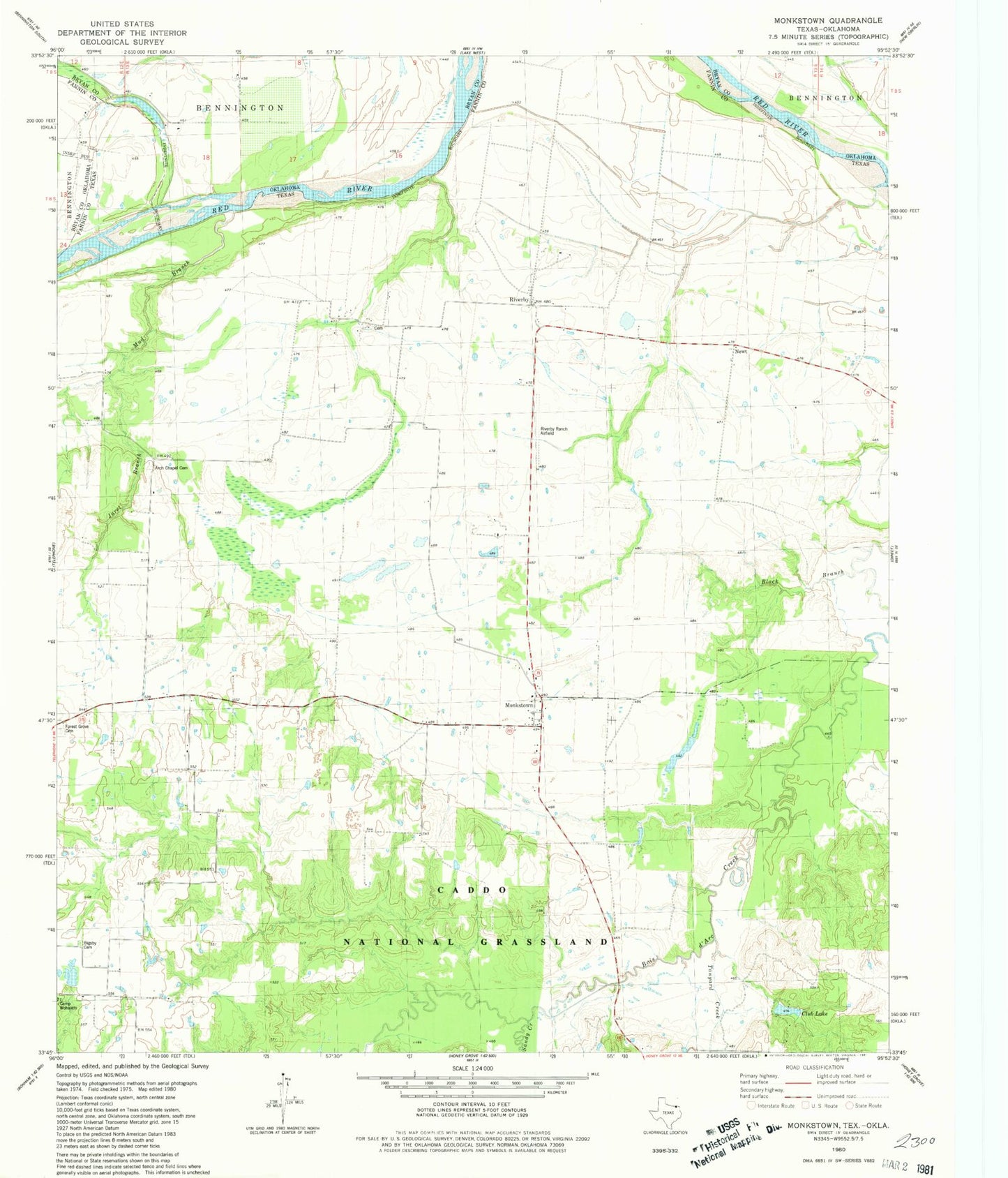
Classic USGS Monkstown Texas 7.5'x7.5' Topo Map
Couldn't load pickup availability
Historical USGS topographic quad map of Monkstown in the state of Texas. Map scale may vary for some years, but is generally around 1:24,000. Print size is approximately 24" x 27"
This quadrangle is in the following counties: Bryan, Fannin.
The map contains contour lines, roads, rivers, towns, and lakes. Printed on high-quality waterproof paper with UV fade-resistant inks, and shipped rolled.
Contains the following named places: Arch Chapel Cemetery, Bernethy - Bridges Cemetery, Bigbee Cemetery, Black Branch, Camp Wohaleto, Club Lake, Club Lake Dam, Forest Grove Cemetery, Friendship Cemetery, Jones and Pace Cemetery, Juret Branch, Liberty Cemetery, Liberty School, Monkstown, Monkstown Cemetery, Mud Branch, Newt, Riverby, Riverby Ranch Airfield, Sandy Creek, Tanyard Creek, ZIP Code: 75488