MyTopo
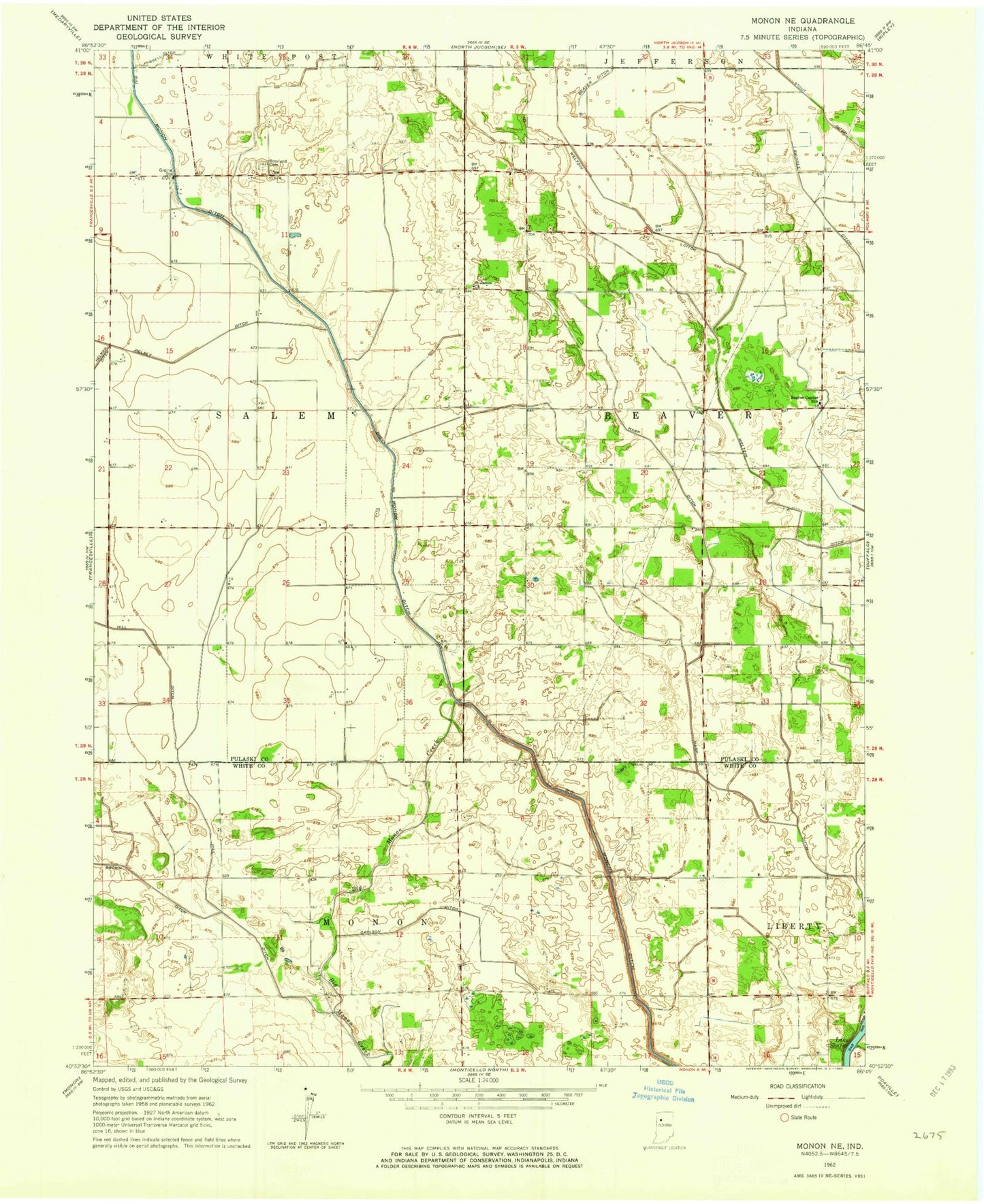
Classic USGS Monon NE Indiana 7.5'x7.5' Topo Map
Regular price
$16.95
Regular price
Sale price
$16.95
Unit price
per
Couldn't load pickup availability
Historical USGS topographic quad map of Monon NE in the state of Indiana. Map scale may vary for some years, but is generally around 1:24,000. Print size is approximately 24" x 27"
This quadrangle is in the following counties: Pulaski, White.
The map contains contour lines, roads, rivers, towns, and lakes. Printed on high-quality waterproof paper with UV fade-resistant inks, and shipped rolled.
Contains the following named places: Beaver Center School, Beaver Ditch, Big Monon Ditch, Calvert Air Park, Carlson Ditch, Garwood Memorial Airport, Harp Ditch, Lony Tile, Roseland Cemetery, Saint James Church, Township of Beaver, Township of Salem, Weltzin Ditch, ZIP Code: 47946