MyTopo
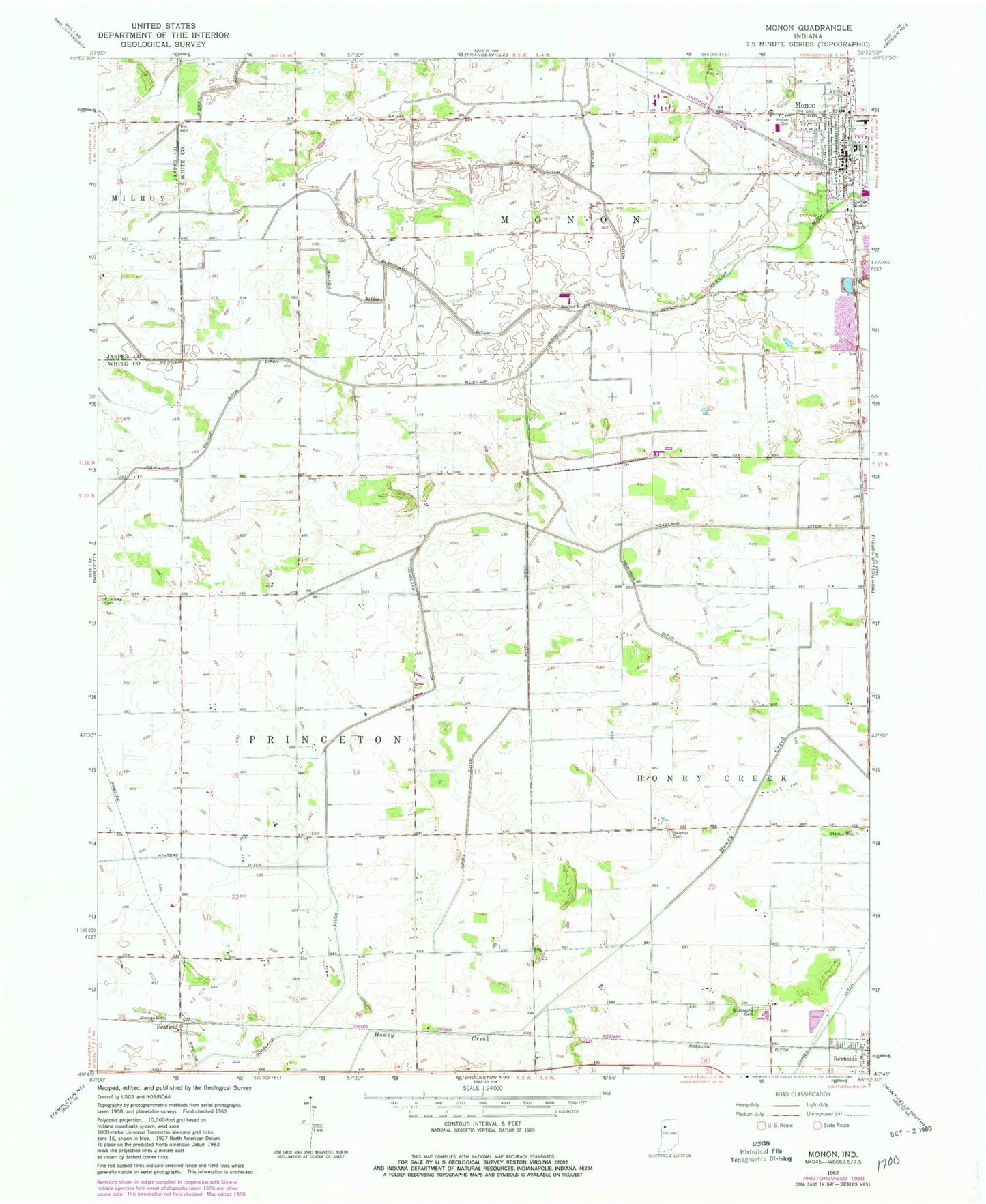
Classic USGS Monon Indiana 7.5'x7.5' Topo Map
Couldn't load pickup availability
Historical USGS topographic quad map of Monon in the state of Indiana. Map scale may vary for some years, but is generally around 1:24,000. Print size is approximately 24" x 27"
This quadrangle is in the following counties: Jasper, White.
The map contains contour lines, roads, rivers, towns, and lakes. Printed on high-quality waterproof paper with UV fade-resistant inks, and shipped rolled.
Contains the following named places: Blanchard Ditch, Bossung Ditch, Box Ditch, Hoagland Ditch, Kesler Ditch, Klopfenstein Airport, McKillip Ditch, Minch Ditch, Monon, Monon Cemetery, Monon Fire Department, Monon Police Department, Monon Post Office, Monon Quarry, North White High School, Obrien Ditch, Palestine Cemetery, Robinson Ditch, Saint Josephs Cemetery, Seafield, Swisher Cemetery, Town of Monon, Township of Monon, Walker Ditch, White County Pullet Farm, Winters Ditch, ZIP Codes: 47959, 47980