MyTopo
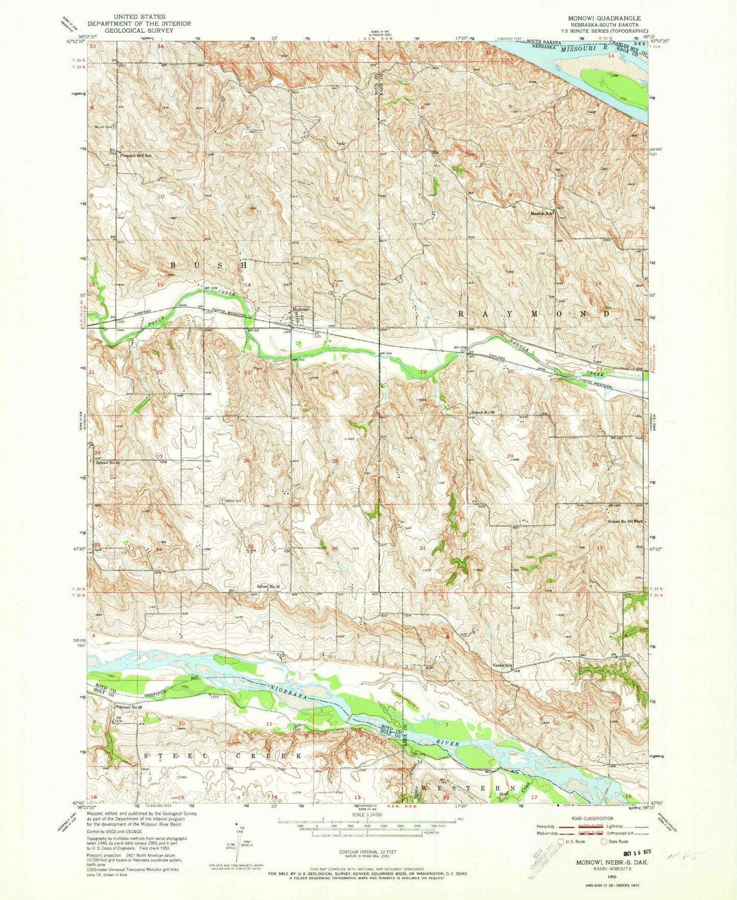
Classic USGS Monowi Nebraska 7.5'x7.5' Topo Map
Couldn't load pickup availability
Historical USGS topographic quad map of Monowi in the state of Nebraska. Map scale may vary for some years, but is generally around 1:24,000. Print size is approximately 24" x 27"
This quadrangle is in the following counties: Boyd, Charles Mix, Holt, Knox.
The map contains contour lines, roads, rivers, towns, and lakes. Printed on high-quality waterproof paper with UV fade-resistant inks, and shipped rolled.
Contains the following named places: Alford Cemetery, Beulah Cemetery, Flanders Dam, Flanders Reservoir, Masdon School, Monowi, Monowi Post Office, Pleasant Hill School, Red Otter Creek, School Number 101 West, School Number 26, School Number 41, School Number 42, School Number 89, Steel Creek, Township of Bush, Verdel School, Village of Monowi