MyTopo
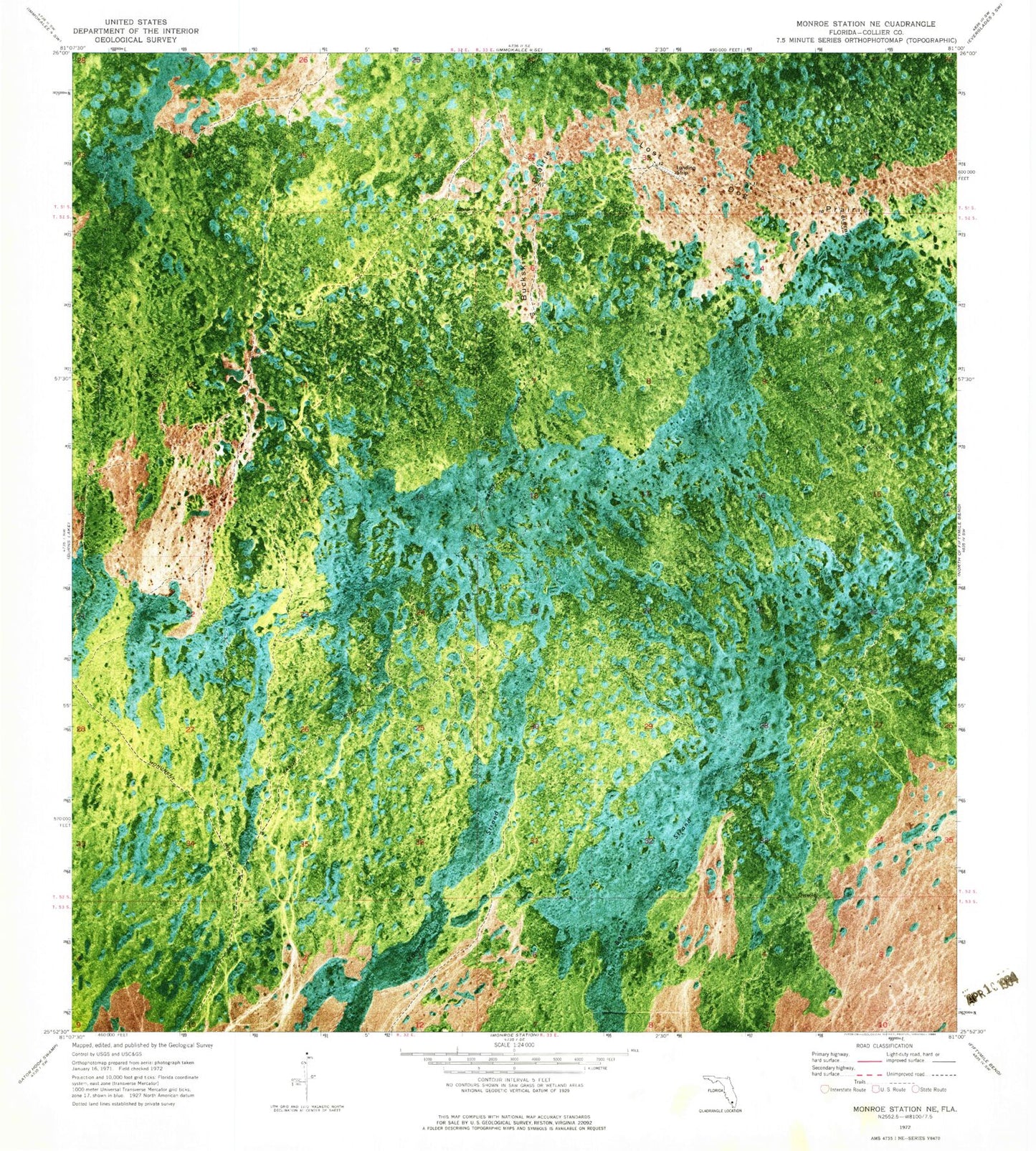
Classic USGS Monroe Station NE Florida 7.5'x7.5' Topo Map
Regular price
$16.95
Regular price
Sale price
$16.95
Unit price
per
Couldn't load pickup availability
Historical USGS topographic quad map of Monroe Station NE in the state of Florida. Typical map scale is 1:24,000, but may vary for certain years, if available. Print size: 24" x 27"
This quadrangle is in the following counties: Collier.
The map contains contour lines, roads, rivers, towns, and lakes. Printed on high-quality waterproof paper with UV fade-resistant inks, and shipped rolled.
Contains the following named places: Barnes Strand, Bluebird Trail, Buckskin Prairie, Lost Dog Prairie, Monroe Strand, Big Cypress National Preserve, Lost Horn Ranch Airport, Romor Ranch Airport