MyTopo
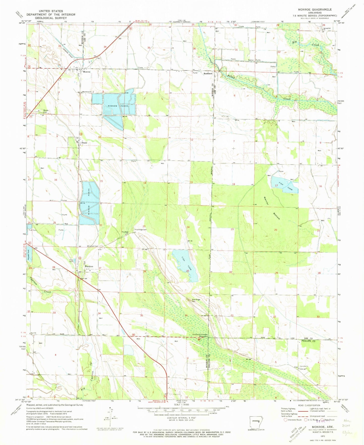
Classic USGS Monroe Arkansas 7.5'x7.5' Topo Map
Couldn't load pickup availability
Historical USGS topographic quad map of Monroe in the state of Arkansas. Map scale may vary for some years, but is generally around 1:24,000. Print size is approximately 24" x 27"
This quadrangle is in the following counties: Lee, Monroe, Phillips.
The map contains contour lines, roads, rivers, towns, and lakes. Printed on high-quality waterproof paper with UV fade-resistant inks, and shipped rolled.
Contains the following named places: Beginning Point of the Louisiana Purchase Survey, Blackton, Blackton Cemetery, Bonds Cemetery, Buckhorn, Cypress Creek, Lateral Number 2, Macedonia Church, Monroe, Monroe Baptist Church, Monroe Census Designated Place, Monroe Post Office, New Life Cemetery, New Life Church, Pine Ridge Cemetery, Pine Ridge Church, Pine Ridge School, Piney Fork Ditch, Raymond, Smale, Springfield Church, Towle, Township of Hindman, Township of Raymond, Tyree Church, Tyree School, Warrior Bottom, ZIP Code: 72108