MyTopo
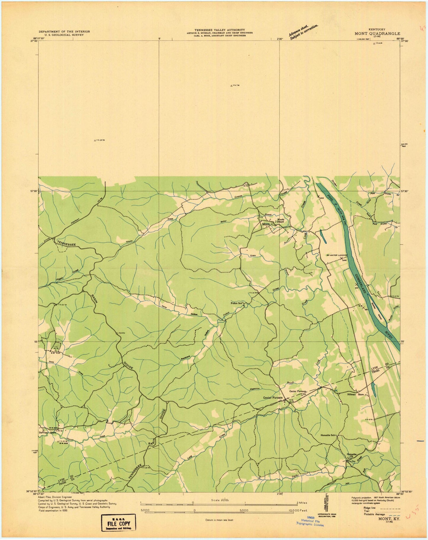
Classic USGS Mont Kentucky 7.5'x7.5' Topo Map
Couldn't load pickup availability
Historical USGS topographic quad map of Mont in the state of Kentucky. Typical map scale is 1:24,000, but may vary for certain years, if available. Print size: 24" x 27"
This quadrangle is in the following counties: Lyon, Trigg.
The map contains contour lines, roads, rivers, towns, and lakes. Printed on high-quality waterproof paper with UV fade-resistant inks, and shipped rolled.
Contains the following named places: Barnes Hollow, Bethlehem Cemetery, Buckner Cemetery, Cannon Spring, Center Furnace, Cravens Bay, Cravens Creek, Curry Hollow, Deer Lick Branch, Duncan Creek, Fulton Creek, Green Branch, Hematite Church, Hematite Lake, Hematite Trail, Henderson Chapel Cemetery, Honker Bay, Honker Lake, Hurricane Creek, Ingram Shoals, Jake Fork, Jake Fork Bay, Kuhn Creek, Long Creek, Mammoth Furnace Bay, Mammoth Furnace Creek, McNabb Creek, Molloy Bay, Molloy Branch, Mont, Motley Creek, Negrorow Branch, North Fork Dryden Creek, Racetrack Hollow, Rolling Hills Cemetery, Saint Stephen's Cemetery, South Fork Dryden Creek, Taylor Creek, Woodson Chapel, Commerce Landing, WKMS-FM (Murray), Land Between the Lakes Division, Dewey (historical), Shelley Island (historical), Fulton Furnace Historical Marker, Mammoth Furnace Historical Marker, Barnes Hollow, Bethlehem Cemetery, Buckner Cemetery, Cannon Spring, Center Furnace, Cravens Bay, Cravens Creek, Curry Hollow, Deer Lick Branch, Duncan Creek, Fulton Creek, Green Branch, Hematite Church, Hematite Lake, Hematite Trail, Henderson Chapel Cemetery, Honker Bay, Honker Lake, Hurricane Creek, Ingram Shoals, Jake Fork, Jake Fork Bay, Kuhn Creek, Long Creek, Mammoth Furnace Bay, Mammoth Furnace Creek, McNabb Creek, Molloy Bay, Molloy Branch, Mont, Motley Creek, Negrorow Branch, North Fork Dryden Creek, Racetrack Hollow, Rolling Hills Cemetery, Saint Stephen's Cemetery, South Fork Dryden Creek, Taylor Creek, Woodson Chapel, Commerce Landing, WKMS-FM (Murray), Land Between the Lakes Division, Dewey (historical), Shelley Island (historical), Fulton Furnace Historical Marker, Mammoth Furnace Historical Marker


