MyTopo
Classic USGS Montaqua Montana 7.5'x7.5' Topo Map
Couldn't load pickup availability
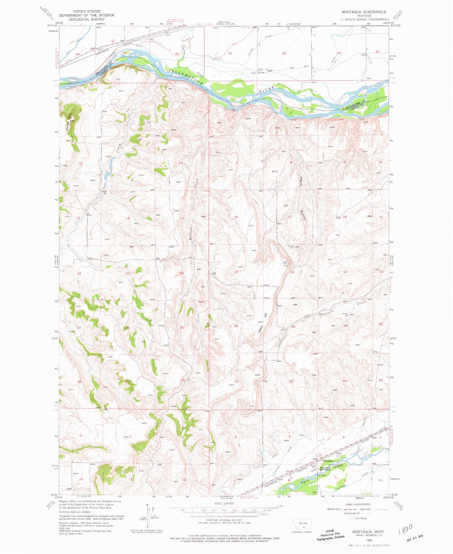
Historical USGS topographic quad map of Montaqua in the state of Montana. Map scale may vary for some years, but is generally around 1:24,000. Print size is approximately 24" x 27"
This quadrangle is in the following counties: Carbon, Stillwater.
The map contains contour lines, roads, rivers, towns, and lakes. Printed on high-quality waterproof paper with UV fade-resistant inks, and shipped rolled.
Contains the following named places: 02S22E25DBBD01 Spring, 02S22E34ADCB01 Well, 02S22E36BCAA01 Well, 02S23E31CBAA01 Well, 02S23E32BAAA01 Well, 02S23E32CCBB01 Well, 02S23E33BBCA01 Well, 02S23E33CCBC01 Well, 02S23E34CBCA01 Well, 03S22E02CADB01 Well, 03S23E31BABA01 Well, 04S23E03BCDA01 Well, 04S23E08AA__01 Well, 04S23E09BCBC01 Well, 59041, Bellion Creek, Clawson Ditch, Cole Creek, Cole Creek School, Dutton Canal, Four Buttes School, Golden Glenn Number 1 Dam, Harris Hill, Homestead Island Fishing Access Site, Joliet Division, Mont Aqua Hot Spring, Montaqua, Montaqua Census Designated Place, Park City Cemetery, Peck Gulch, Valley Creek, Youngs Point