MyTopo
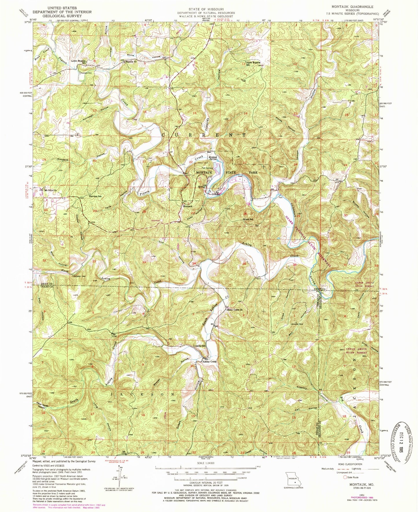
Classic USGS Montauk Missouri 7.5'x7.5' Topo Map
Couldn't load pickup availability
Historical USGS topographic quad map of Montauk in the state of Missouri. Typical map scale is 1:24,000, but may vary for certain years, if available. Print size: 24" x 27"
This quadrangle is in the following counties: Dent, Shannon, Texas.
The map contains contour lines, roads, rivers, towns, and lakes. Printed on high-quality waterproof paper with UV fade-resistant inks, and shipped rolled.
Contains the following named places: Alred Hollow, Alred School, Ashley Creek, Ashley Creek Church, Ashley School, Bean Creek, Bell Hollow, Caps Branch, Cooper Hollow, Crabtree Hollow, Creek Hollow, Dead Horse Hollow, Duke Hollow, Fairview School, Falls Hollow, Head Hollow, Hepsida Church, Hollowell Hollow, Hoosier Hollow, Horse Hollow, Inman Hollow, Kell Hollow, Krewson Hollow, Lick Hollow, Long Hollow, Lower Hepsida School, Medlock Hollow, Montauk Springs, Montauk State Park, Mount Olive Church, North Ashley Creek, Patterson Cemetery, Pigeon Creek, South Ashley Creek, Upper Hepsida Church, Weaver Hollow, Well Hollow, White Hollow, Wolf Hollow, Woodard Hollow, Salem Upland, The S Turn, Tan Vat Hole, Medley Hollow, Haley Hollow, Ashley Creek, Montauk, Baptist River Access, Township of Current, Mount Olive Cemetery, Cole Cemetery, Montauk Cemetery


