MyTopo
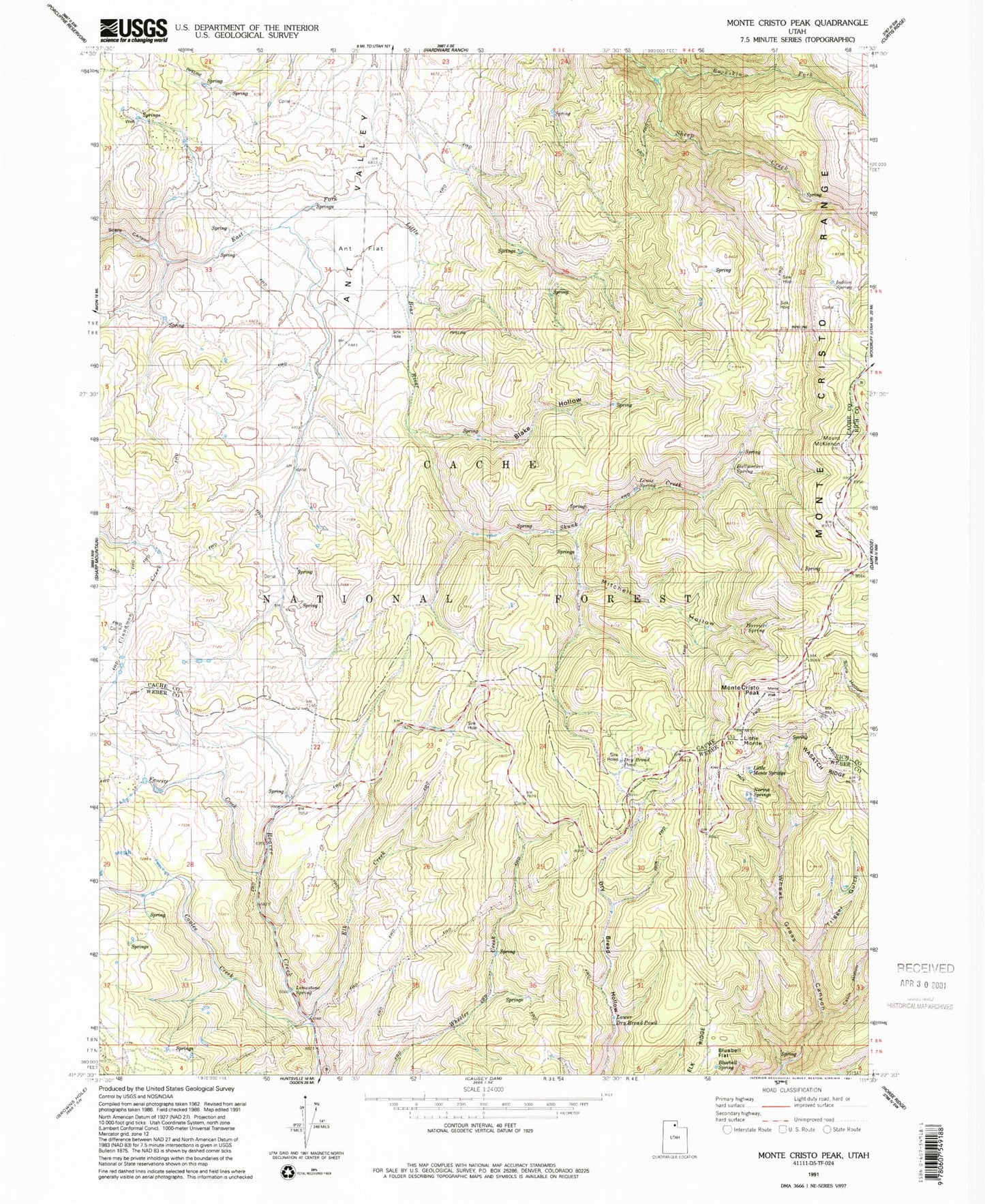
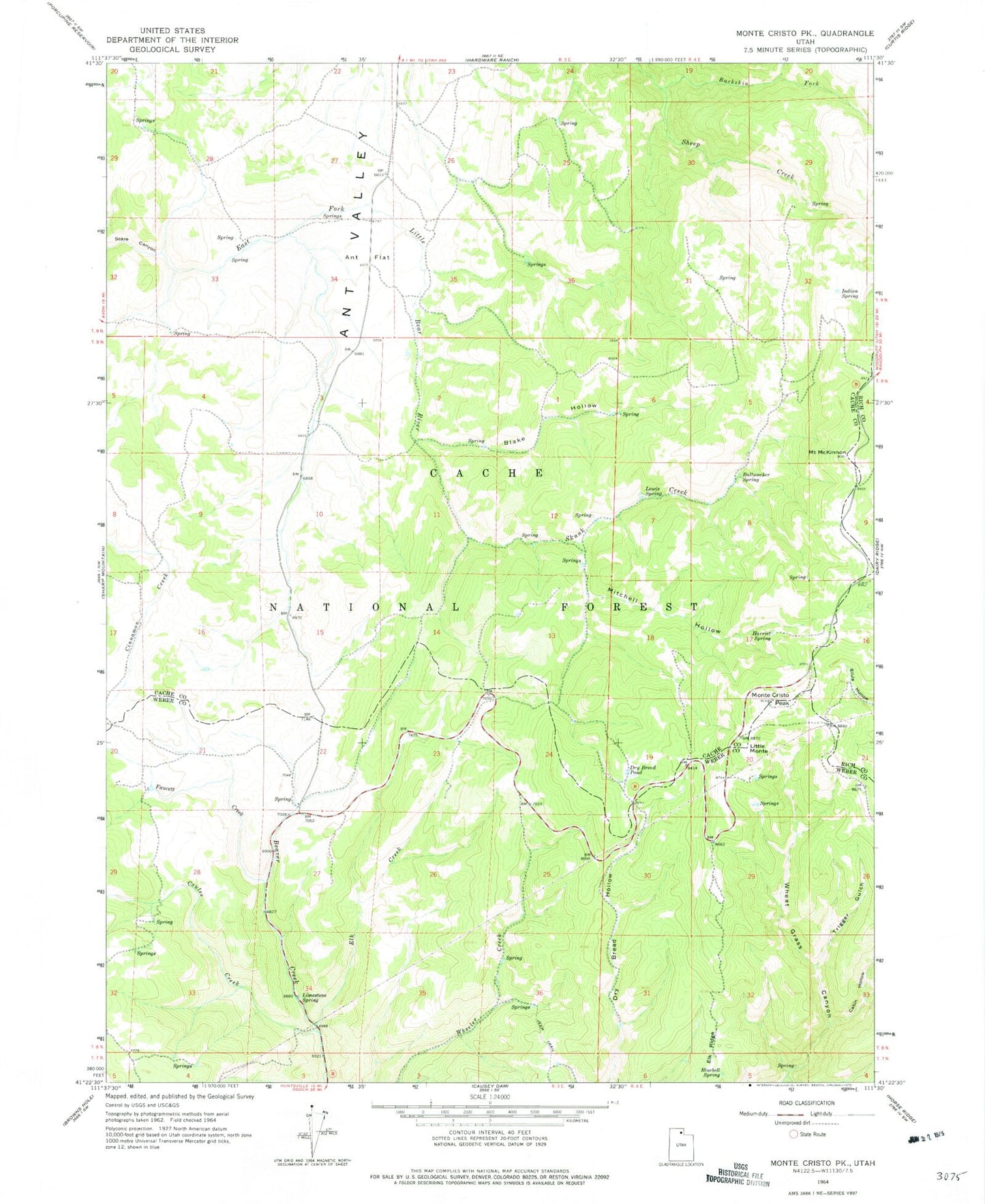
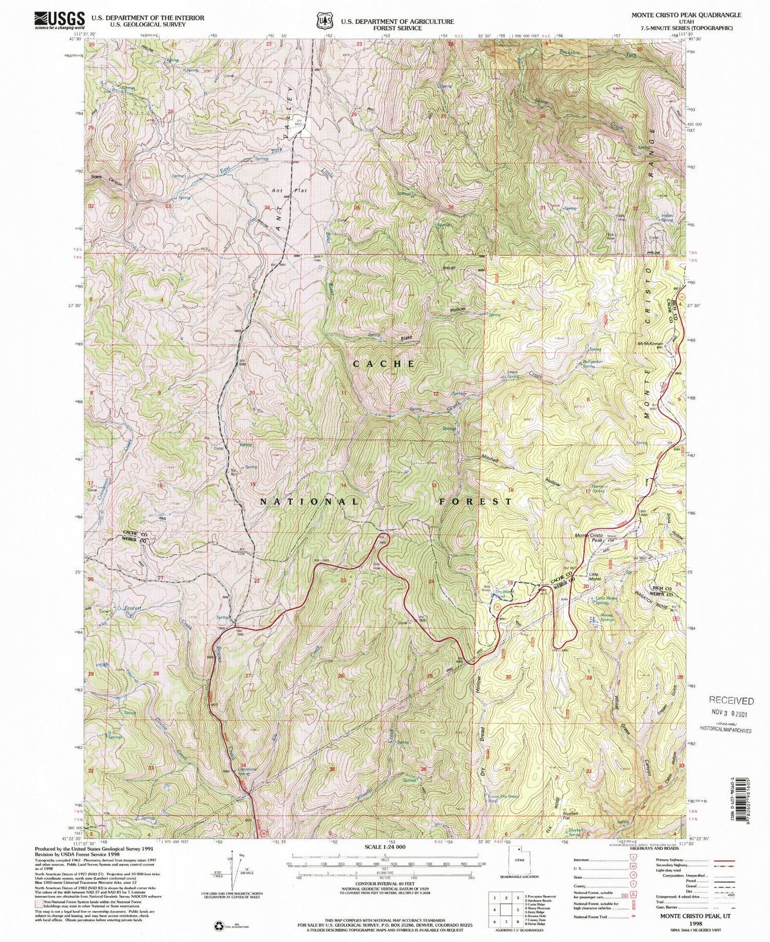
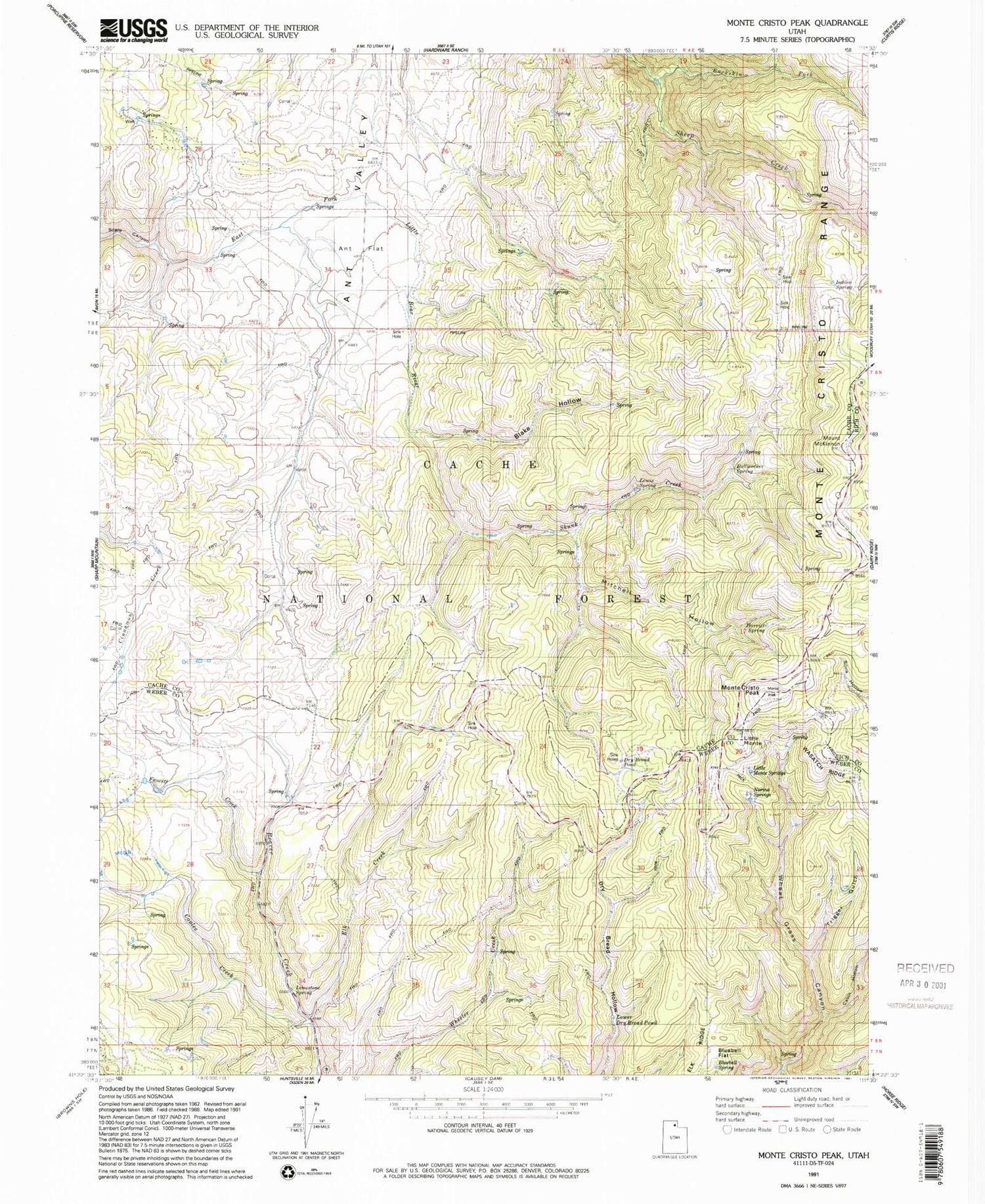
Classic USGS Monte Cristo Peak Utah 7.5'x7.5' Topo Map
Couldn't load pickup availability
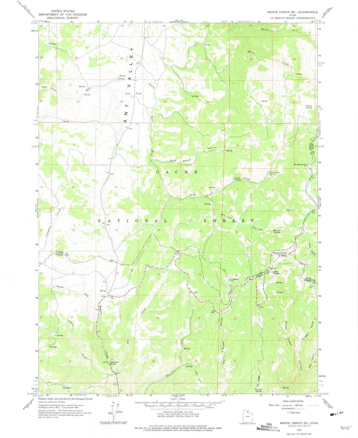
Historical USGS topographic quad map of Monte Cristo Peak in the state of Utah. Map scale may vary for some years, but is generally around 1:24,000. Print size is approximately 24" x 27"
This quadrangle is in the following counties: Cache, Rich, Weber.
The map contains contour lines, roads, rivers, towns, and lakes. Printed on high-quality waterproof paper with UV fade-resistant inks, and shipped rolled.
Contains the following named places: Blake Hollow, Bluebell Flat, Bluebell Spring, Buckskin Fork, Bullwacker Spring, Cabin Hollow, Coulee Creek, Dans Hollow, Dry Bread Pond, Elk Creek, Elk Ridge, Faucett Creek, Harriet Spring, Indian Spring, Lewis Spring, Limestone Spring, Little Monte, Lower Dry Bread Pond, Middle Ridge, Mitchell Hollow, Monte Cristo Forest Service Station, Monte Cristo Peak, Monte Cristo Range, Mount McKinnon, Norma Spring, Skunk Creek, Trigger Gulch