
MyTopo
Classic USGS Monte Mountain Nevada 7.5'x7.5' Topo Map
Regular price
$16.95
Regular price
Sale price
$16.95
Unit price
per
Couldn't load pickup availability
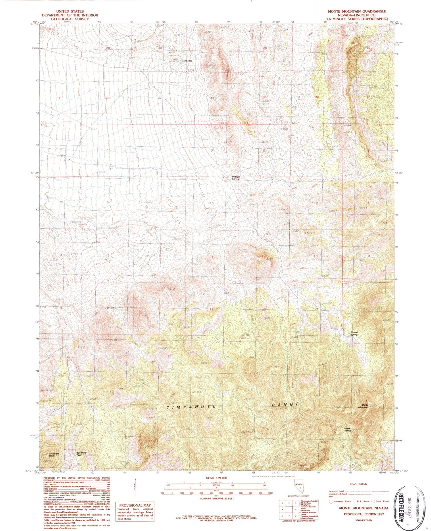
Historical USGS topographic quad map of Monte Mountain in the state of Nevada. Map scale may vary for some years, but is generally around 1:24,000. Print size is approximately 24" x 27"
This quadrangle is in the following counties: Lincoln.
The map contains contour lines, roads, rivers, towns, and lakes. Printed on high-quality waterproof paper with UV fade-resistant inks, and shipped rolled.
Contains the following named places: Chocolate Drop, Coyote Spring, Horse Spring, Monte Mountain, Monte Spring, Penoyer Springs, Schofield Pass, The Seeps, Timpahute Range, Tunnel Spring, Wheat Grass Spring, White Bluff Spring, Wild Horse Spring


