MyTopo
Classic USGS Monterey Arkansas 7.5'x7.5' Topo Map
Couldn't load pickup availability
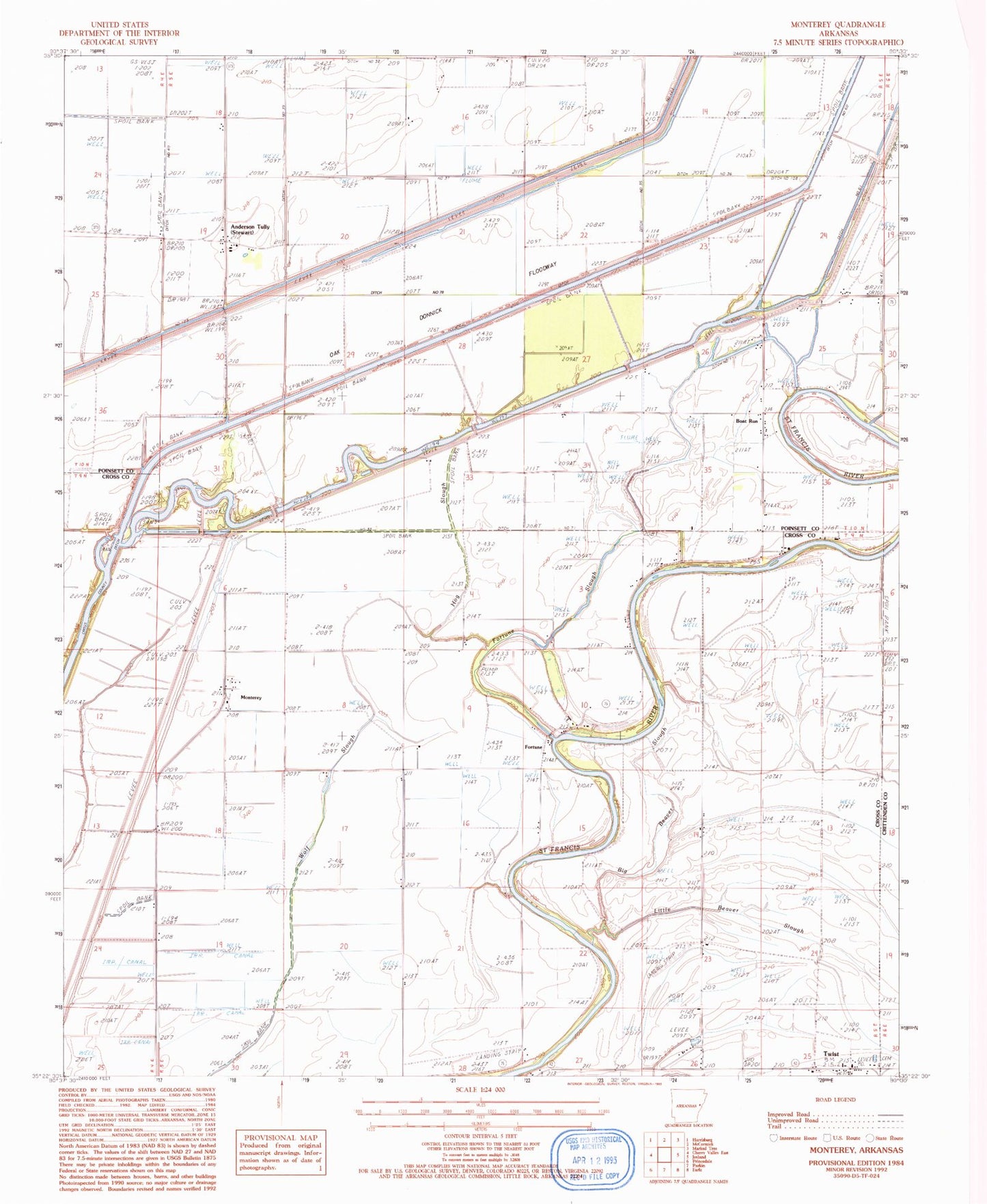
Historical USGS topographic quad map of Monterey in the state of Arkansas. Map scale may vary for some years, but is generally around 1:24,000. Print size is approximately 24" x 27"
This quadrangle is in the following counties: Crittenden, Cross, Poinsett.
The map contains contour lines, roads, rivers, towns, and lakes. Printed on high-quality waterproof paper with UV fade-resistant inks, and shipped rolled.
Contains the following named places: Anderson Tully, Anderson Tully Baptist Church, Arthur, Bethlehem Church, Big Beaver Slough, Boat Run, Burton Chapel, Cow Island, Ditch Number 108, Ditch Number 109, Ditch Number 37, Ditch Number 71, Ditch Number 73, Ditch Number 74, Ditch Number 78, Ditch Number 79, Fortune, Fortune Bar, Fortune Church, Fortune Slough, Harris Pond, Hit Chapel, Hog Slough, Lee Bar, Little Beaver Slough, Monterey, Singer Forest Natural Heritage Area, Singer School, Steep Gut Bayou, Stewart, Sugar Bar, Sunk Timber Lake, Township of Twist, Turnbull Bar, Turney, Twist, Twist Ferry, Twist Post Office, Welford, Wheeler Bar, Wildwood Church, Wildwood School