MyTopo
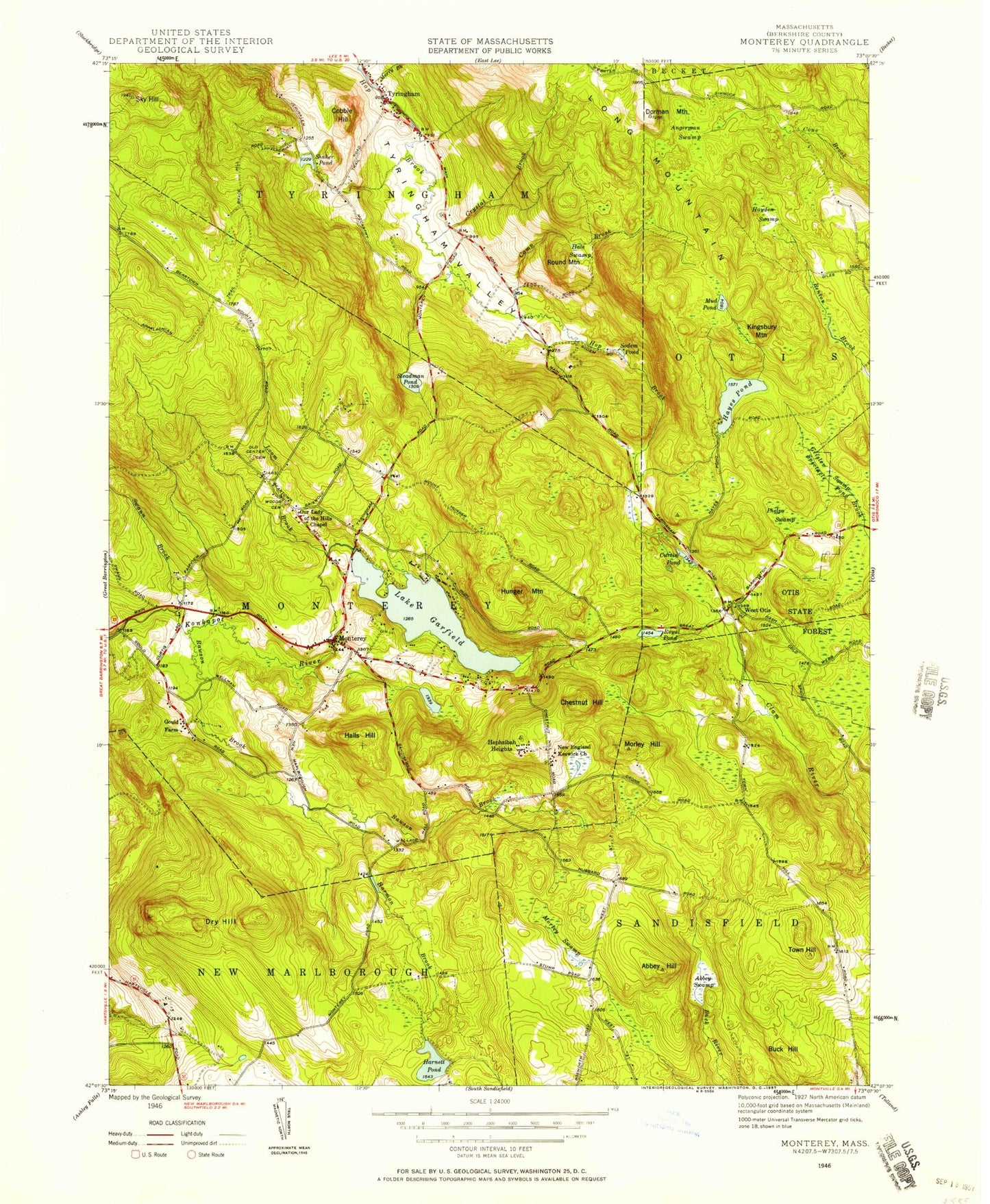
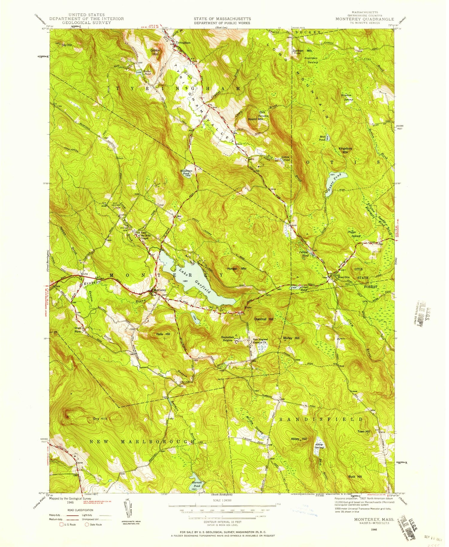
Classic USGS Monterey Massachusetts 7.5'x7.5' Topo Map
Couldn't load pickup availability
Historical USGS topographic quad map of Monterey in the state of Massachusetts. Typical map scale is 1:24,000, but may vary for certain years, if available. Print size: 24" x 27"
This quadrangle is in the following counties: Berkshire.
The map contains contour lines, roads, rivers, towns, and lakes. Printed on high-quality waterproof paper with UV fade-resistant inks, and shipped rolled.
Contains the following named places: Jayson Camp, Camp Glenmere, Old Center Cemetery, West Lake Dam, Harnett Pond Dam, Abbey Lake Dam, Morley Swamp Reservoir, Morley Swamp Dam, Stedman Pond Dam, Gilder Pond Dam, Royal Pond Dam, Lake Garfield Dam, Hayes Pond Dam, Steadman Pond Dam, Shaker Pond Dam, Kolburne School, Abbey Hill, Abbey Swamp, Angerman Swamp, Buck Hill, Camp Brook, Chestnut Hill, Cobble Hill, Crystal Brook, Curtin Pond, Dorman Mountain, Dry Hill, Lake Garfield, Geisler Swamp, Camp Glenmere, Hale Swamp, Halls Hill, Harmon Brook, Harnett Pond, Hayden Swamp, Hayes Pond, Hephzibah Heights, Hunger Mountain, Camp Jayson, Kingsbury Mountain, Loom Brook, Camp Meadowlark, Monterey, Morley Hill, Mud Pond, Phelps Swamp, Rawson Brook, Round Mountain, Royal Pond, Shaker Pond, Sky Hill, Sodem Pond, Steadman Pond, Swann Brook, Town Hill, Tyringham, Tyringham Valley, West Otis, Gilder Pond, Palmer Pond, West Lake, Stedman Pond, Hale Pond, Abbey Lake, Woods Cemetery, New England Reswick Church, Marlboro Academy, Town of Monterey, Berkshire Hills, Town of Tyringham, Our Lady of the Hills Church, Monterey Post Office, Monterey Town Hall, Monterey United Church of Christ, Tyringham Post Office, Monterey Fire Company, Tyringham Fire Department, Monterey Police Department, Tyringham Police Department, Berkshire Trout Hatchery


