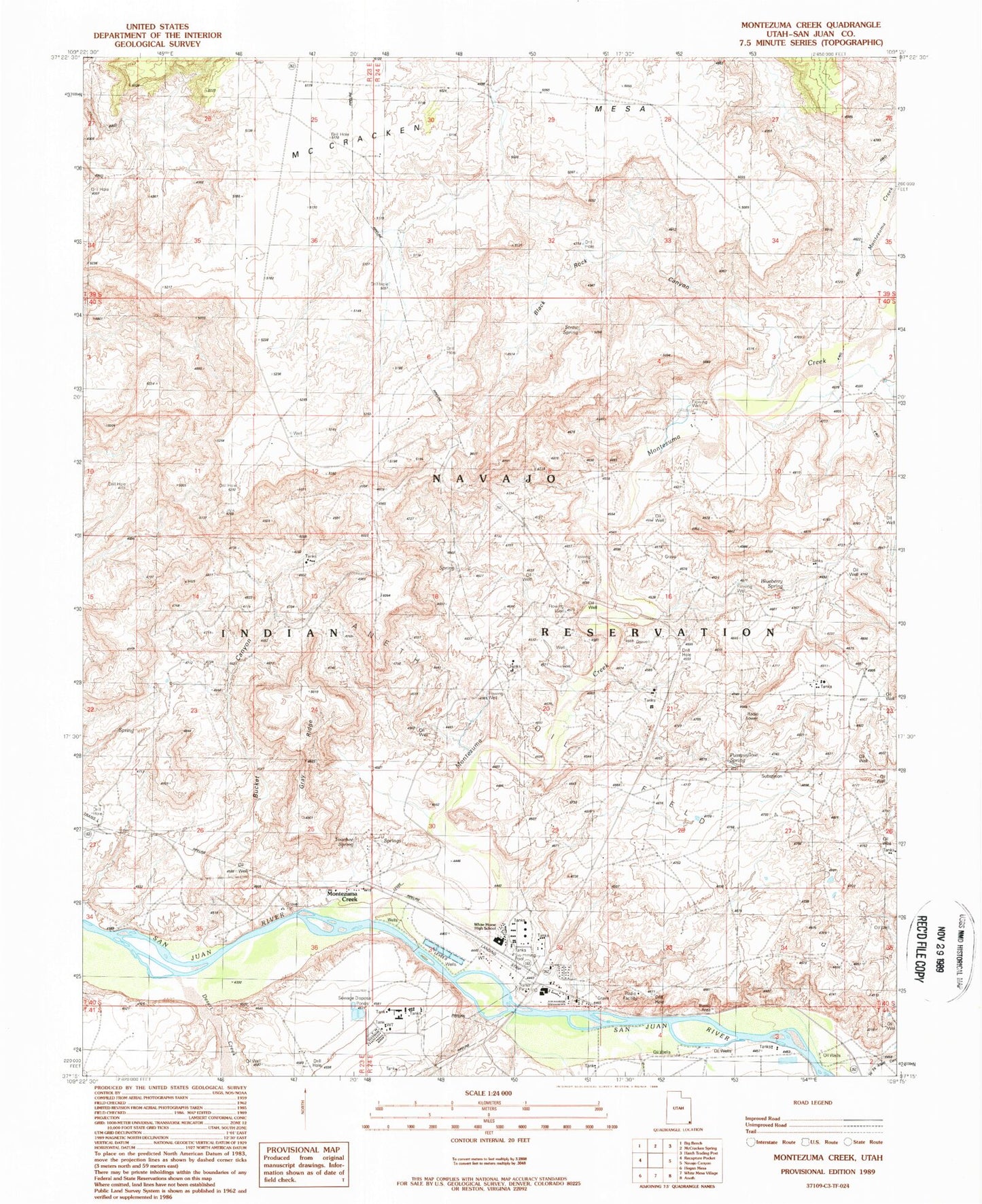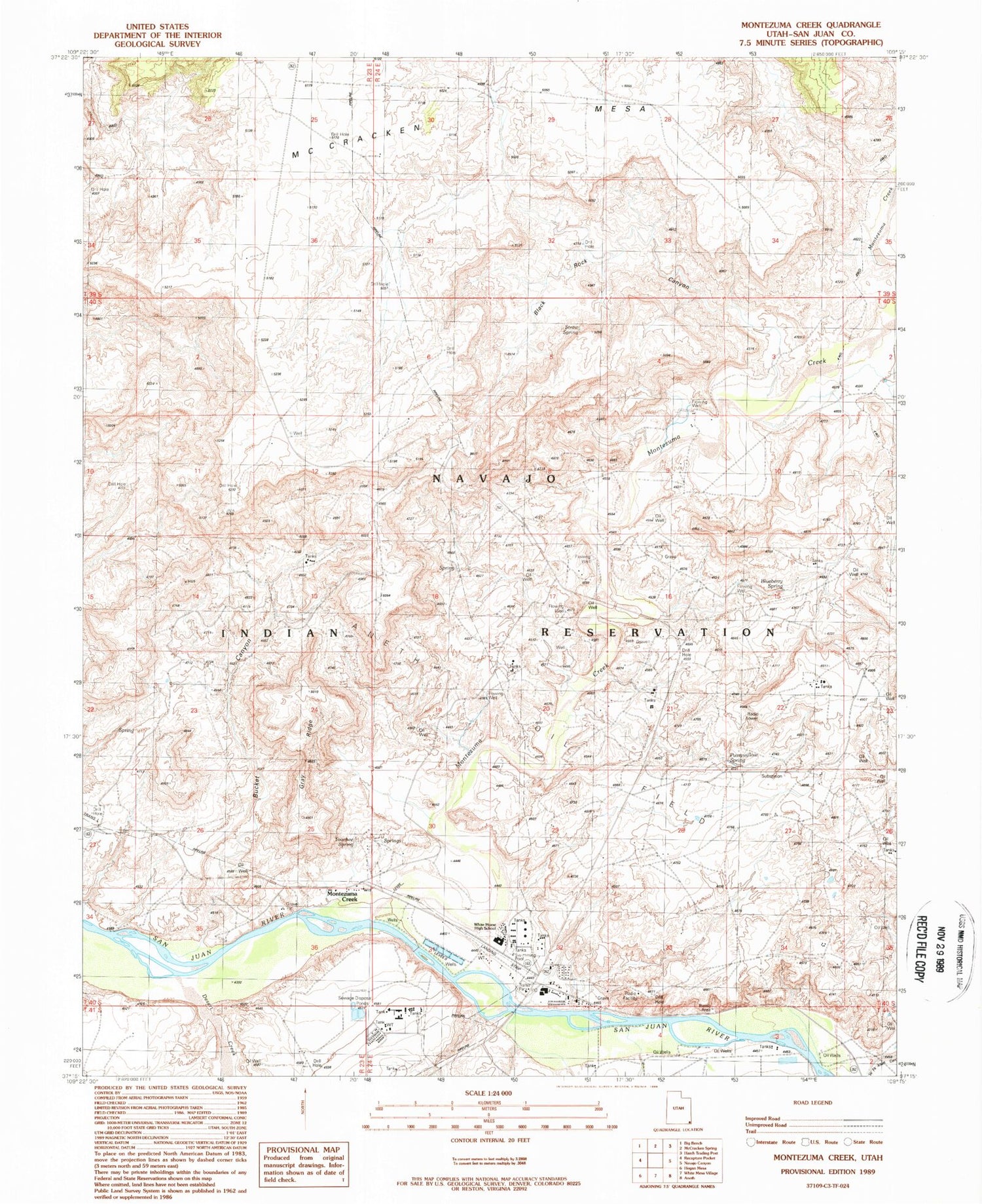
MyTopo
Classic USGS Montezuma Creek Utah 7.5'x7.5' Topo Map
Couldn't load pickup availability
Historical USGS topographic quad map of Montezuma Creek in the state of Utah. Map scale may vary for some years, but is generally around 1:24,000. Print size is approximately 24" x 27"
This quadrangle is in the following counties: San Juan.
The map contains contour lines, roads, rivers, towns, and lakes. Printed on high-quality waterproof paper with UV fade-resistant inks, and shipped rolled.
Contains the following named places: Black Rock Canyon, Blueberry Spring, Bucket Canyon, Desert Creek, Gray Ridge, Hot Spring, Montezuma Creek, Montezuma Creek Census Designated Place, Montezuma Creek Elementary School, Montezuma Creek Overlook, Montezuma Creek Post Office, Montezuma Creek Trading Post, Pussywillow Spring, Rattlesnake Ranch Number One Upper Dam, San Juan Fire Department - Montezuma Creek Station, Straw Spring, The Church of Jesus Christ of Latter Day Saints, Touchee Spring, Utah Navajo Health System Ambulance, White Horse High School, Whitehorse High School