
MyTopo
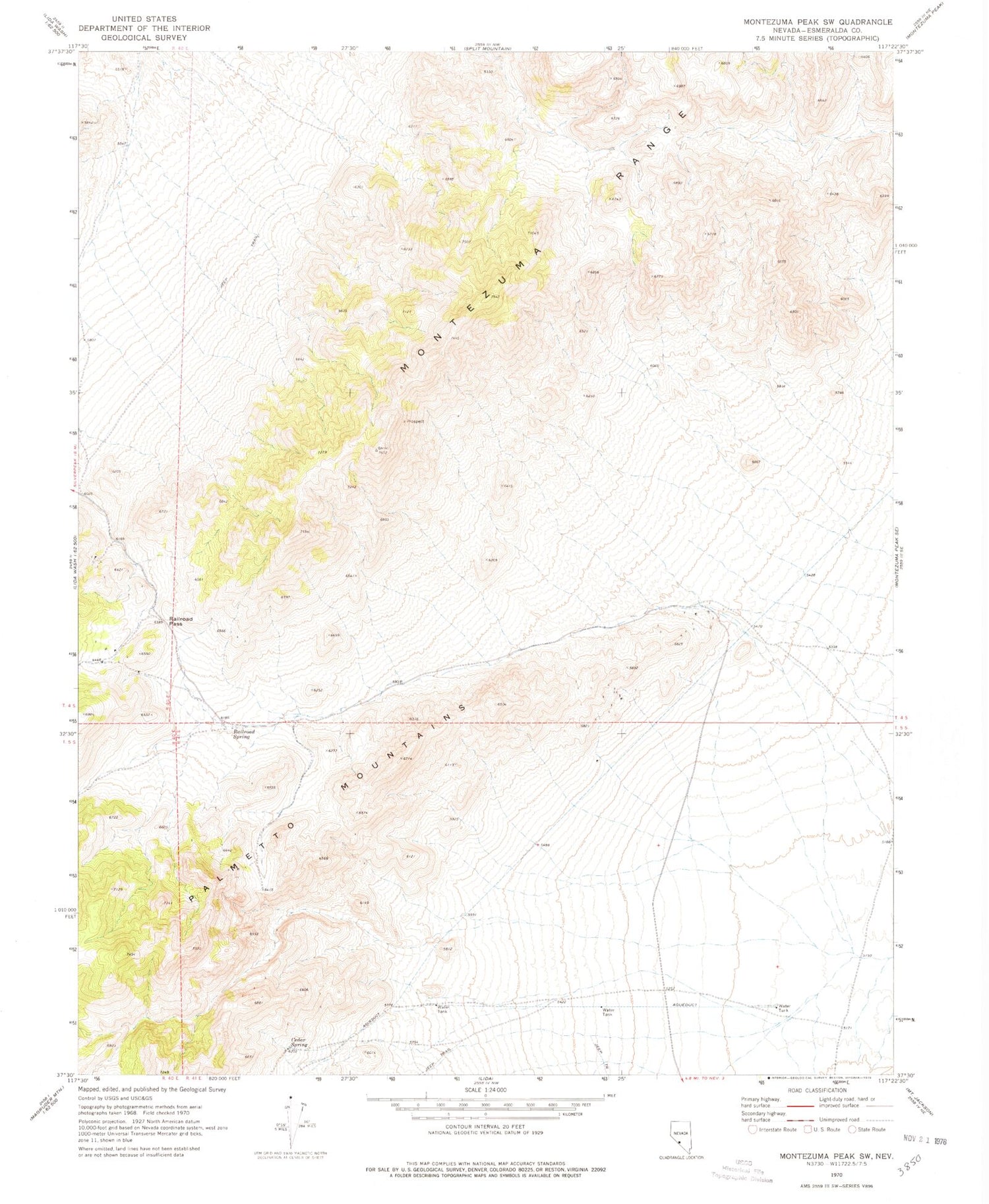
Classic USGS Montezuma Peak SW Nevada 7.5'x7.5' Topo Map
Regular price
$16.95
Regular price
Sale price
$16.95
Unit price
per
Couldn't load pickup availability
Historical USGS topographic quad map of Montezuma Peak SW in the state of Nevada. Map scale may vary for some years, but is generally around 1:24,000. Print size is approximately 24" x 27"
This quadrangle is in the following counties: Esmeralda.
The map contains contour lines, roads, rivers, towns, and lakes. Printed on high-quality waterproof paper with UV fade-resistant inks, and shipped rolled.
Contains the following named places: Alida Spring, Cedar Spring, Gold Hill Mine, Goldfield Division, Marvel Group, Park Hill Group, Railroad Pass, Railroad Spring, Railroad Spring Mining District, Silver Coin Property


