MyTopo
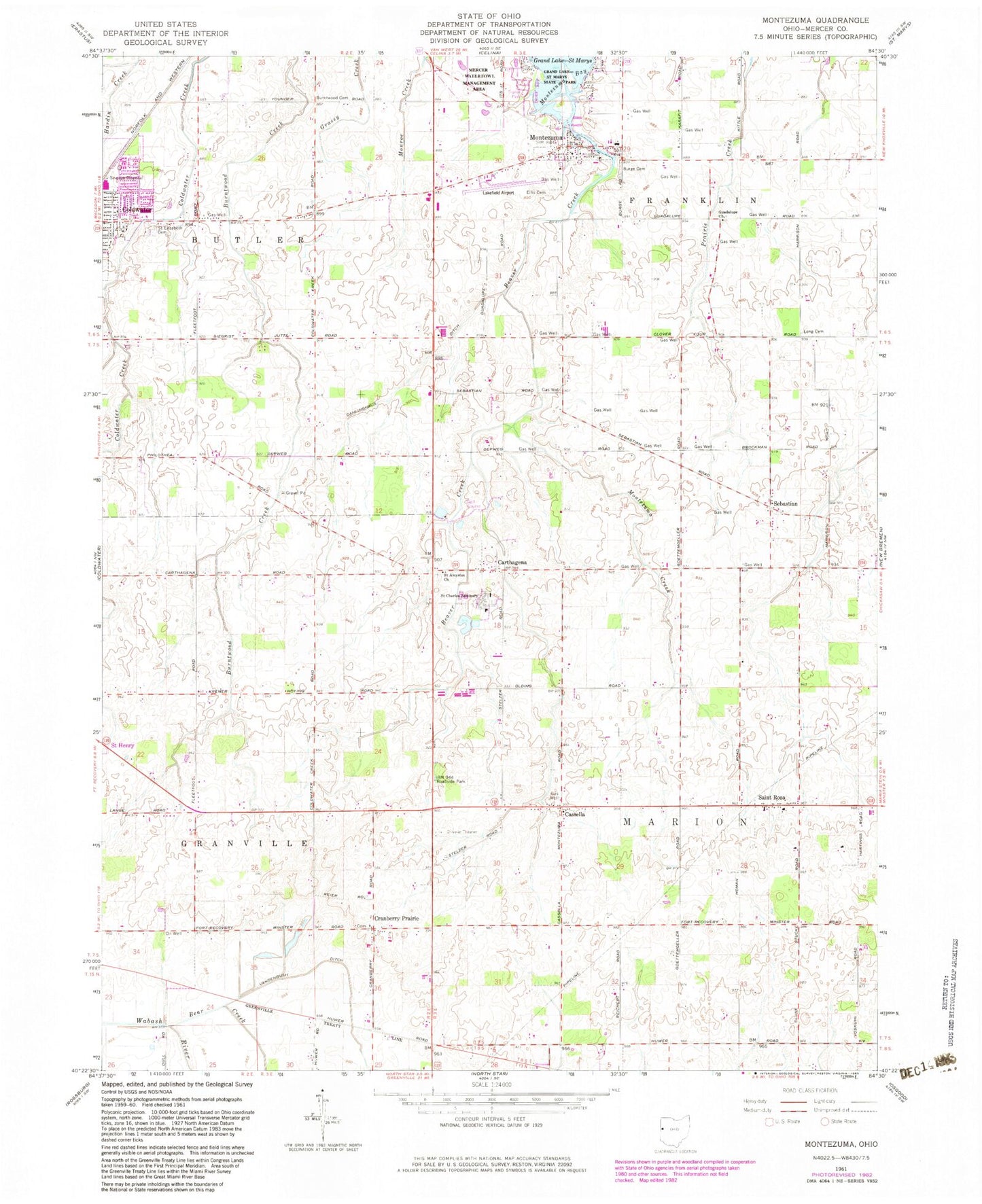
Classic USGS Montezuma Ohio 7.5'x7.5' Topo Map
Couldn't load pickup availability
Historical USGS topographic quad map of Montezuma in the state of Ohio. Map scale may vary for some years, but is generally around 1:24,000. Print size is approximately 24" x 27"
This quadrangle is in the following counties: Mercer.
The map contains contour lines, roads, rivers, towns, and lakes. Printed on high-quality waterproof paper with UV fade-resistant inks, and shipped rolled.
Contains the following named places: Bear Creek, Beaver Creek, Burge Cemetery, Burntwood Cemetery, Carthagena, Carthagena Post Office, Cassella, Cassella Cemetery, Cassella Post Office, Catholic Cemetery, Celina Sanitary Landfill, Cranberry Prairie, Cranberry Prairie Post Office, Dahlinghaus Ditch, Eight Star Farm, Elks Club Golf Course, Ellis Cemetery, Franklin Elementary School, Franklin Township Fire Department, Gold Top Farm, Gruenwald Convent, Guadalupe Church, Lakefield Airport, Long Cemetery, Mercer Waterfowl Management Area, Montezuma, Montezuma Creek, Montezuma Post Office, Nativity of the Blessed Virgin Mary Church, Riverside Landing, Saint Aloysious Catholic Cemetery, Saint Aloysius Church, Saint Charles Seminary, Saint Elizabeth Cemetery, Saint Francis Catholic Cemetery, Saint Francis Catholic Church, Saint Rosa, Saint Rosa Post Office, Saint Rose Catholic Cemetery, Saint Rose Catholic Church, Saint Sebastian Catholic Cemetery, Saint Sebastian Catholic Church, Sebastian, Sebastian Post Office, Stachler Farms, Tobin Farms, Township of Franklin, Township of Marion, Vandenbush Ditch, Village of Montezuma, Wermert Farm, ZIP Codes: 45860, 45866, 45883


