MyTopo
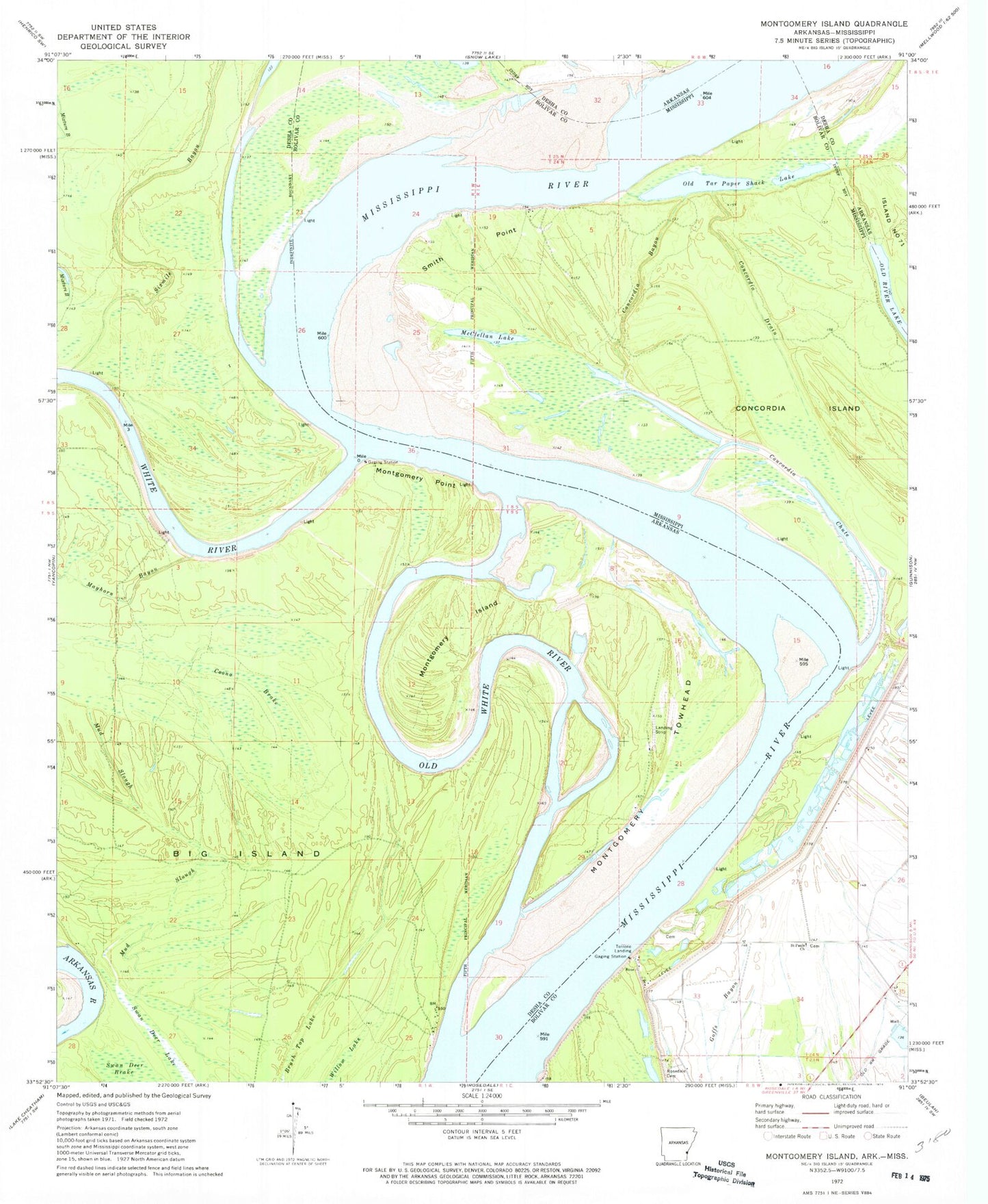
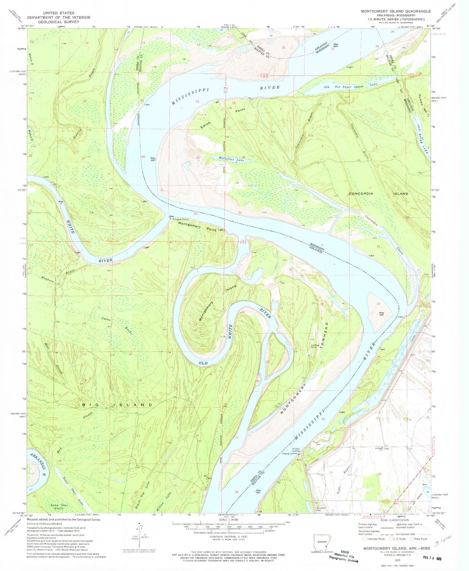
Classic USGS Montgomery Island Arkansas 7.5'x7.5' Topo Map
Couldn't load pickup availability
Historical USGS topographic quad map of Montgomery Island in the states of Arkansas, Mississippi. Typical map scale is 1:24,000, but may vary for certain years, if available. Print size: 24" x 27"
This quadrangle is in the following counties: Bolivar, Desha.
The map contains contour lines, roads, rivers, towns, and lakes. Printed on high-quality waterproof paper with UV fade-resistant inks, and shipped rolled.
Contains the following named places: Big Island, Brush Top Lake, Coono Brake, Mayhorn Bayou, Montgomery Island, Montgomery Point, Montgomery Towhead, Mud Slough, Old White River, Sixmile Bayou, Willow Lake, Rose Landing, Birmingham Bend, Concordia Bend (historical), Montgomery Bend, Montgomery Cutoff, Jackson Bend, Victoria Bend, White River Landing, White River, Big Island Revetment, Henrico Dikes, Montgomery Towhead Dikes, Scrubgrass Bend, Scrubgrass Bend Revetment, White River Landing Dikes, White River, Concordia Bayou, Concordia Chute, Concordia Drain, Concordia Island, McClellan Lake, Old Tar Paper Shack Lake, Rosedale Cemetery, Saint Pauls Church, Smith Point, Lane Landing (historical), Little Red Bar, Terrene Landing


