MyTopo
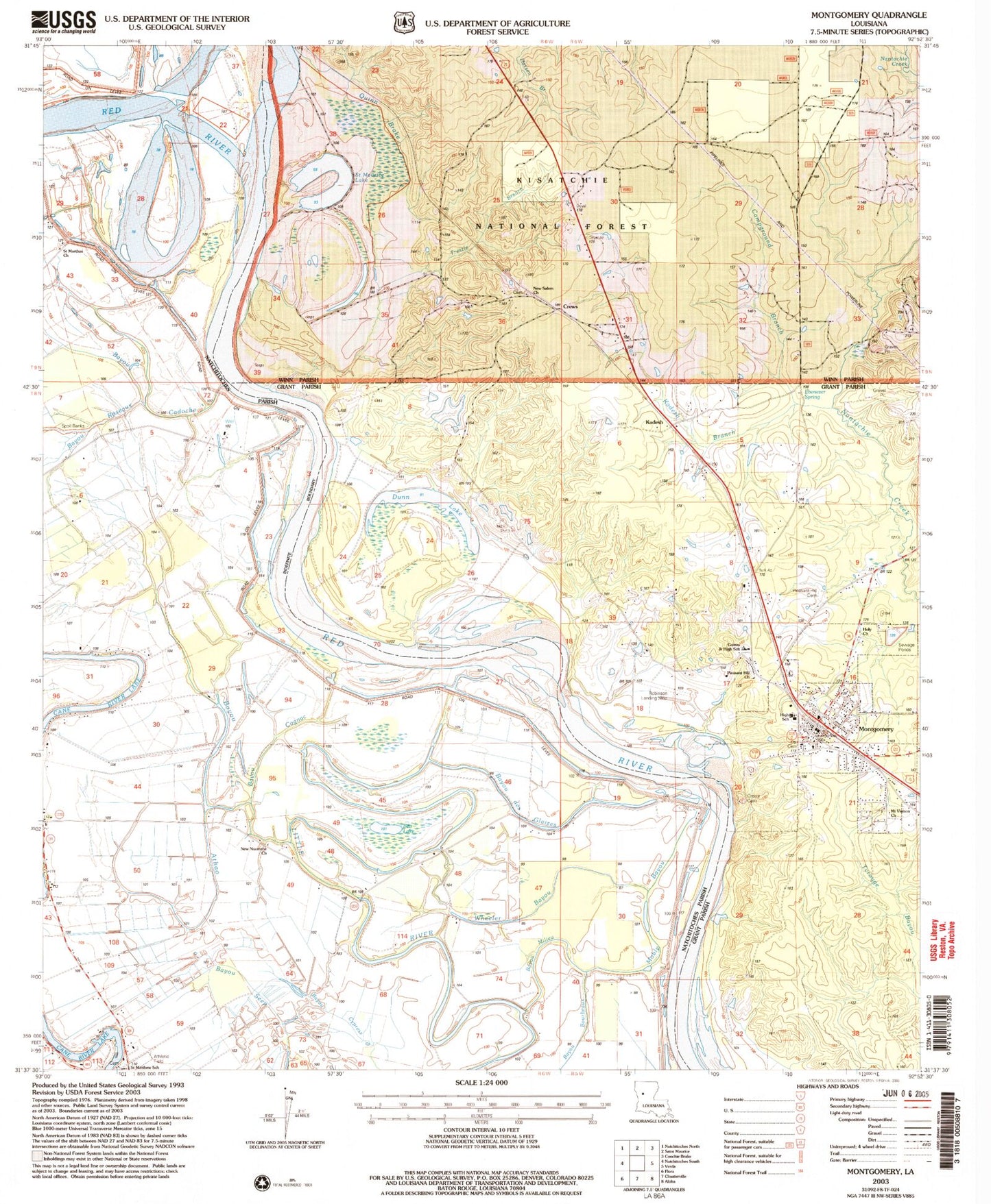
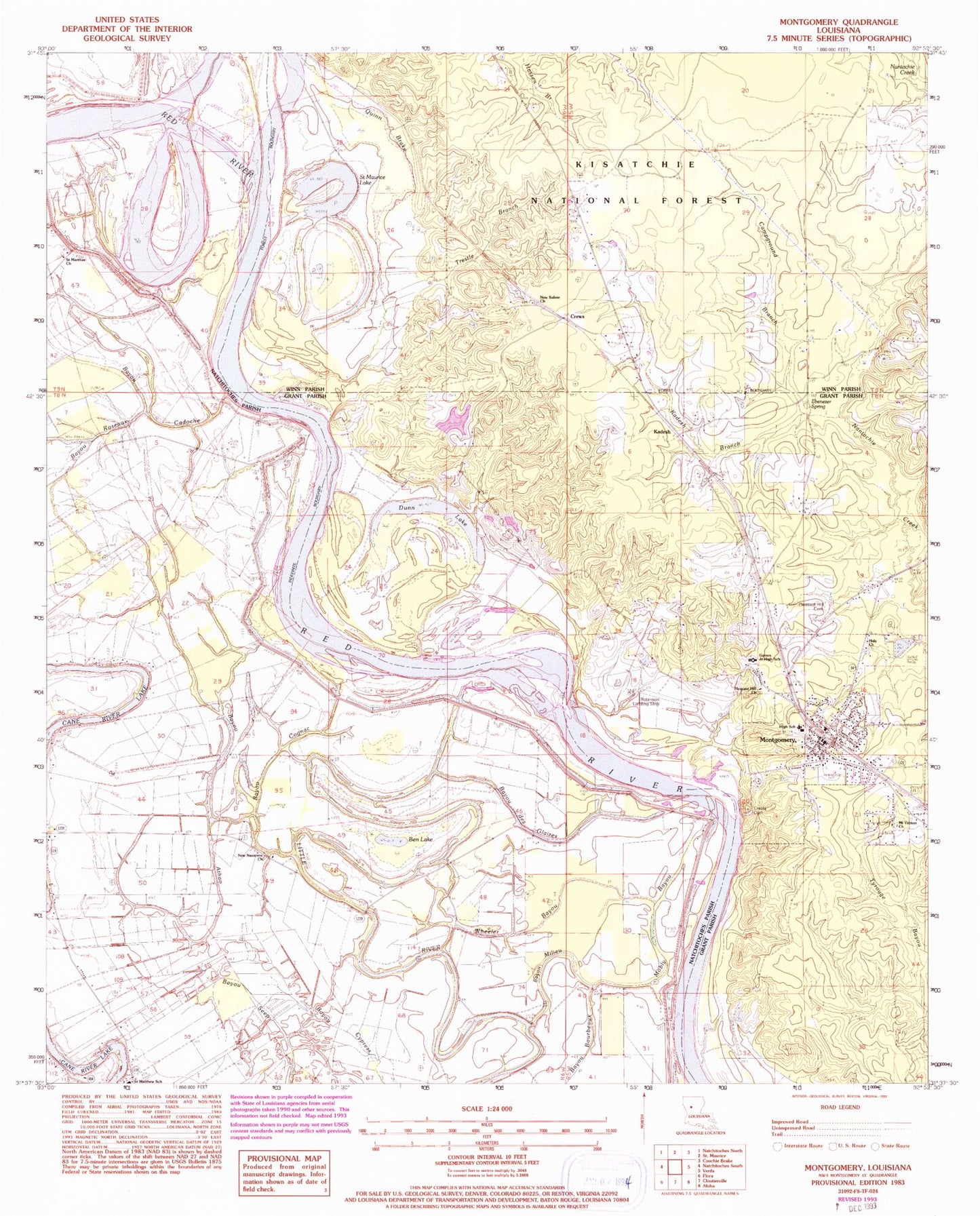
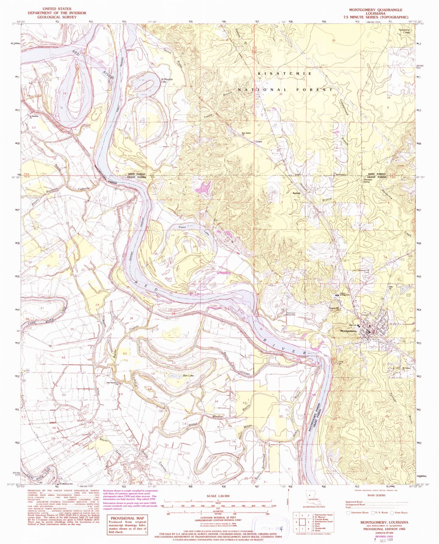
Classic USGS Montgomery Louisiana 7.5'x7.5' Topo Map
Couldn't load pickup availability
Historical USGS topographic quad map of Montgomery in the state of Louisiana. Map scale may vary for some years, but is generally around 1:24,000. Print size is approximately 24" x 27"
This quadrangle is in the following counties: Grant, Natchitoches, Winn.
The map contains contour lines, roads, rivers, towns, and lakes. Printed on high-quality waterproof paper with UV fade-resistant inks, and shipped rolled.
Contains the following named places: Bayou Athao, Bayou Cadoche, Bayou Cognac, Bayou Cypress, Bayou des Glaizes, Bayou Milieu, Bayou Roseaux, Bayou Seep, Ben Lake, Boley, Borden School, Campground Branch, Cockfield, Cockfield School, Cognac, Creola Cemetery, Crews, Dunn Lake, Ebenezer Camp, Ebenezer Spring, Hicks School, Holy Church, Kadesh, Kadesh Branch, Mobly Bayou, Montgomery, Montgomery Ferry, Montgomery Gaines Junior High School, Montgomery High School, Montgomery Police Department, Montgomery Volunteer Fire Department, Mount Vernon Church, New Beulah Church, New Nazarene Church, New Salem Church, Old Montgomery, Petite Ecore, Pleasant Hill Cemetery, Pleasant Hill Church, Quinn Brake, Robinson Landing Strip, Saint Marthas Church, Saint Marys Church, Saint Matthew Church, Saint Matthews School, Saint Maurice Lake, Town of Montgomery, Trestle Branch, Wheeler Bayou, Williams Corner, ZIP Code: 71456