MyTopo
Classic USGS Montgomery Texas 7.5'x7.5' Topo Map
Couldn't load pickup availability
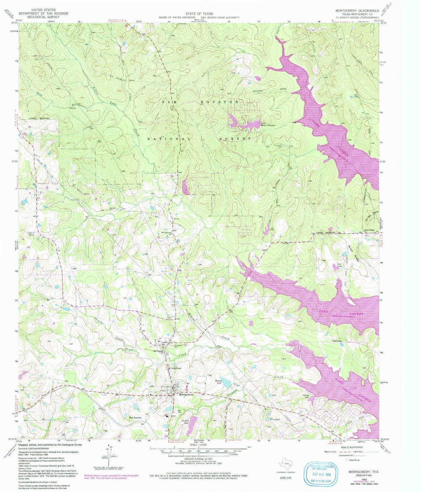
Historical USGS topographic quad map of Montgomery in the state of Texas. Typical map scale is 1:24,000, but may vary for certain years, if available. Print size: 24" x 27"
This quadrangle is in the following counties: Montgomery.
The map contains contour lines, roads, rivers, towns, and lakes. Printed on high-quality waterproof paper with UV fade-resistant inks, and shipped rolled.
Contains the following named places: Brownwood Church, Caney Creek, Carwile Creek, China Chapel, Circle V Ranch, Fling Pond, Lincoln School, Little Lake Creek, Montgomery, Montgomery Cemetery, Mount Pleasant Cemetery, Mount Pleasant Church, Lake Mount Pleasant, Peel Cabin, Peel Junction, Peel Lake, Pole Creek, Rampy Lake, Sand Branch, Scott Ridge, Scott Ridge Church, Stanley Lake, Stewart Lake, Town Creek, Martin Creek, Stewart Creek, Scotts Ridge Recreation Site, Stewart Lake Dam, Cape Conroe Dam Number 1, Flamingo Lake Number 1 Dam, Mount Pleasant Lake Dam, Rampy Lake Dam, Hidden Forest Lake Dam, Hidden Forest Lake, Montgomery Division, Montgomery Elementary School, Montgomery High School, Montgomery Junior High School, Arnold-Simonton House, Little Lake Creek Wilderness, City of Montgomery, Montgomery United Methodist Church, Montgomery Fire Department Station 51, Montgomery Fire Department Station 55, Montgomery Police Department, Montgomery City Hall, Montgomery Post Office


