
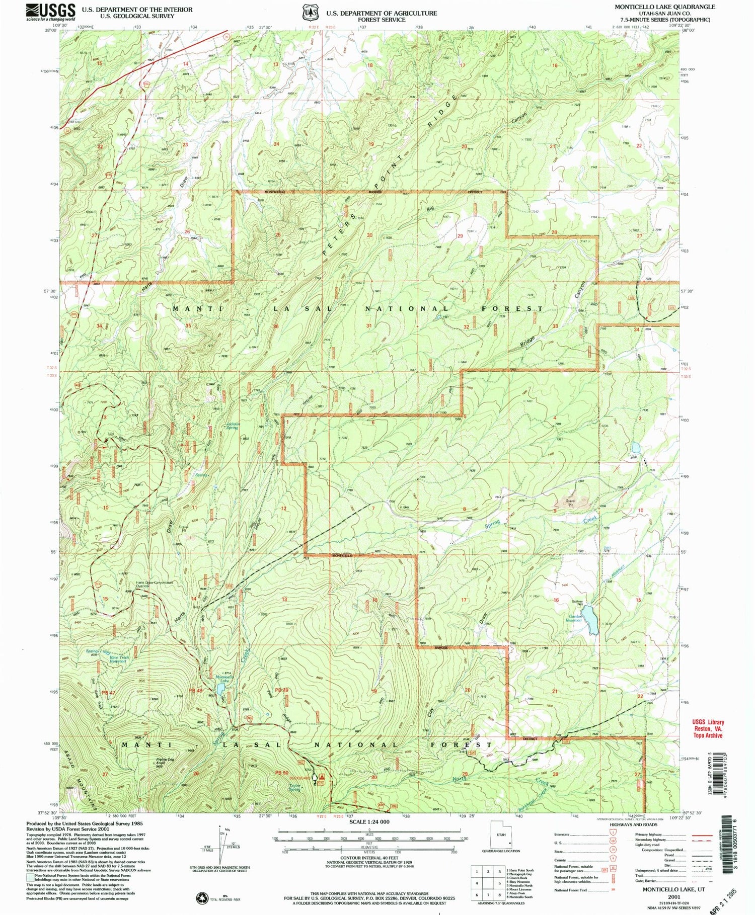
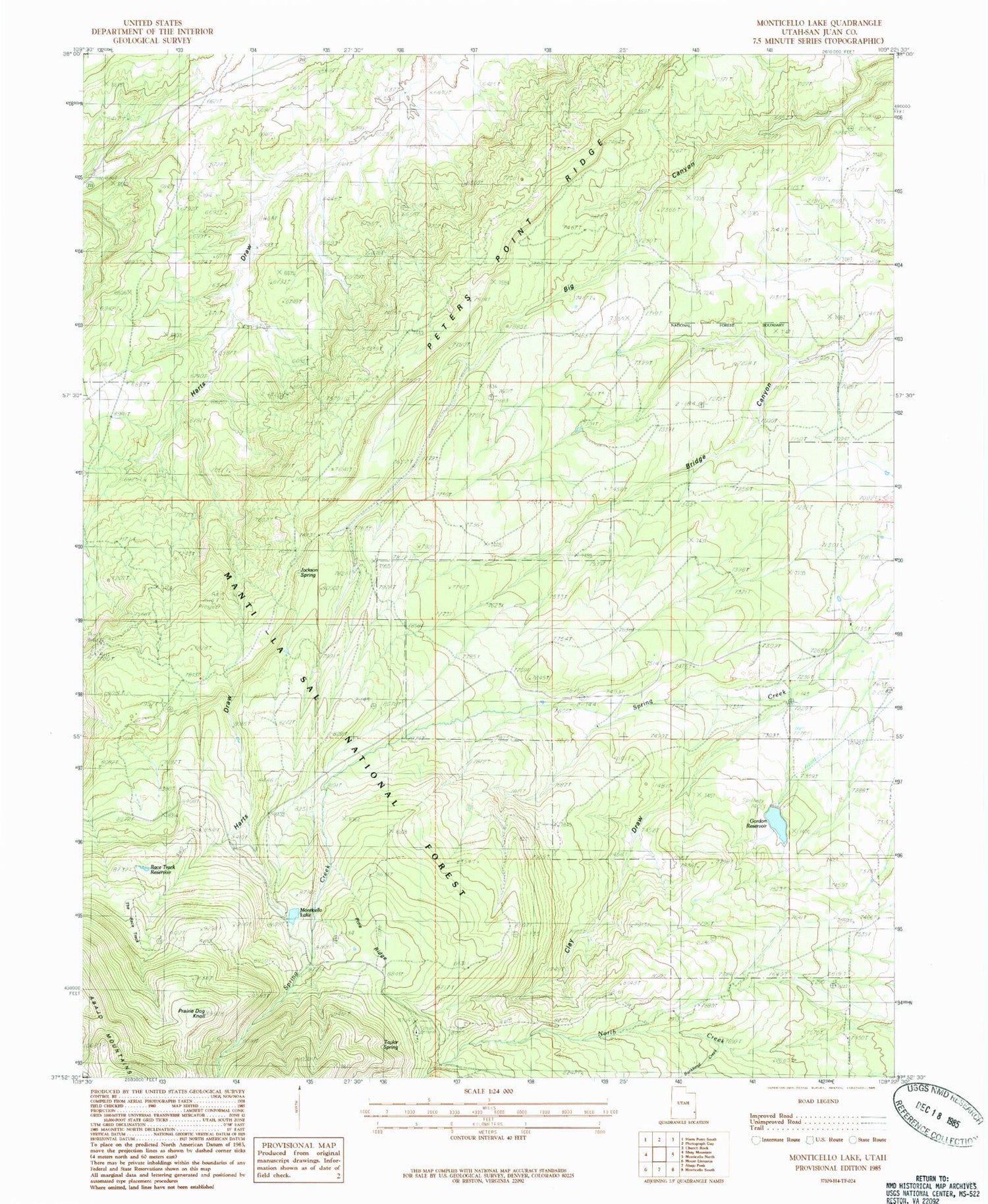
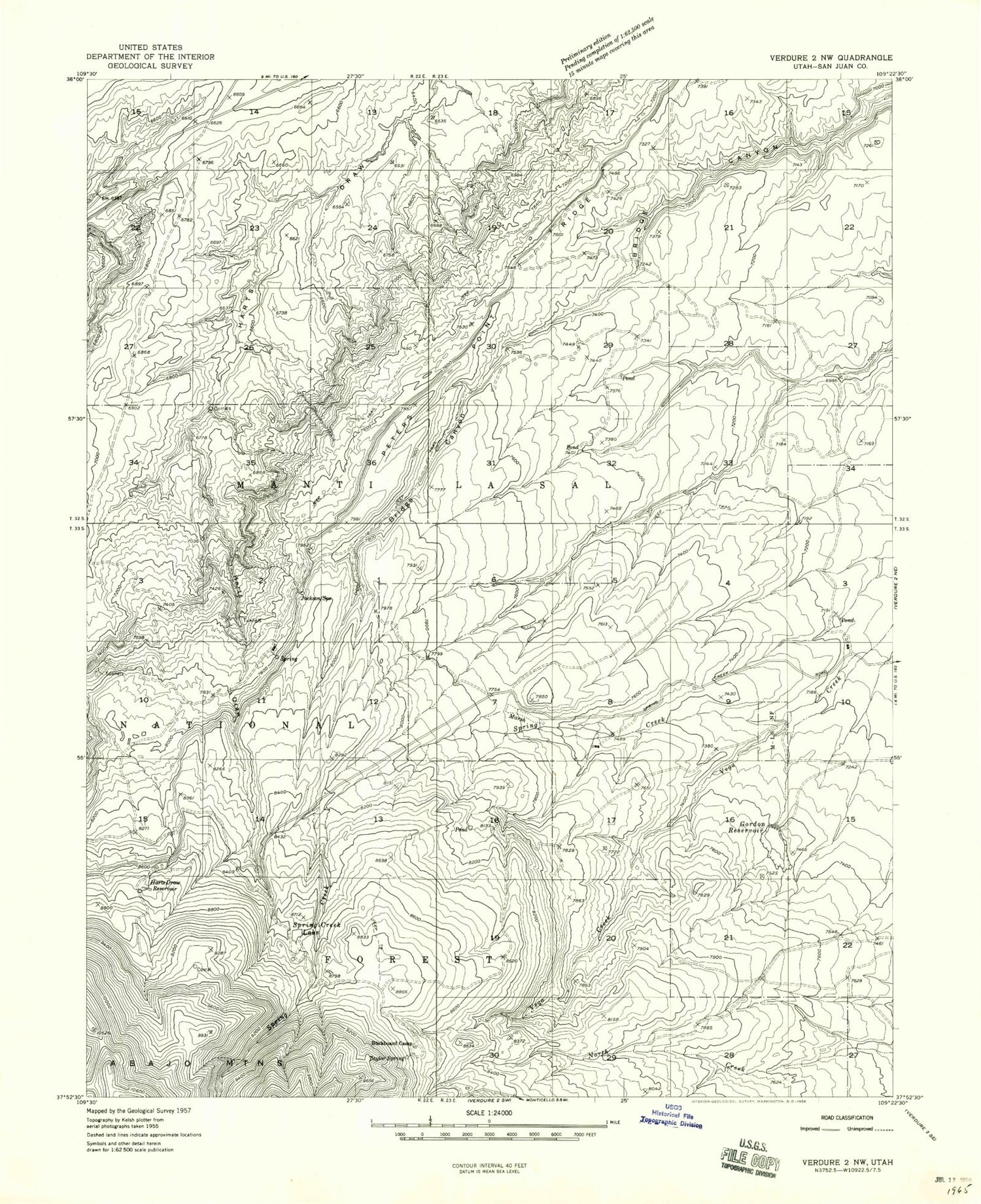
MyTopo
Classic USGS Monticello Lake Utah 7.5'x7.5' Topo Map
Couldn't load pickup availability
Historical USGS topographic quad map of Monticello Lake in the state of Utah. Map scale may vary for some years, but is generally around 1:24,000. Print size is approximately 24" x 27"
This quadrangle is in the following counties: San Juan.
The map contains contour lines, roads, rivers, towns, and lakes. Printed on high-quality waterproof paper with UV fade-resistant inks, and shipped rolled.
Contains the following named places: Buckboard Campground, Clay Draw, Gordon Dam, Gordon Reservoir, Harts Draw-Canyonlands Point of Interest, Jackson Spring, Monticello Lake, Monticello Lake Dam, Peters Point Ridge, Pine Ridge, Prairie Dog Knoll, Race Track Reservoir, Taylor Spring, The Race Track, Upper Bailey Dam, Upper Bailey Reservoir


