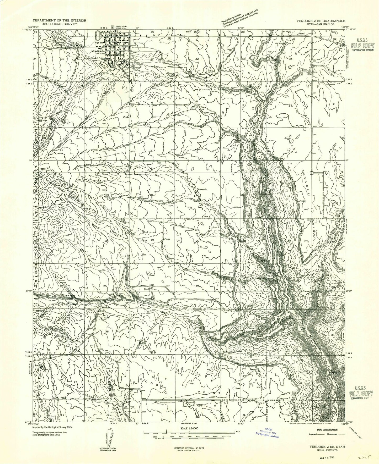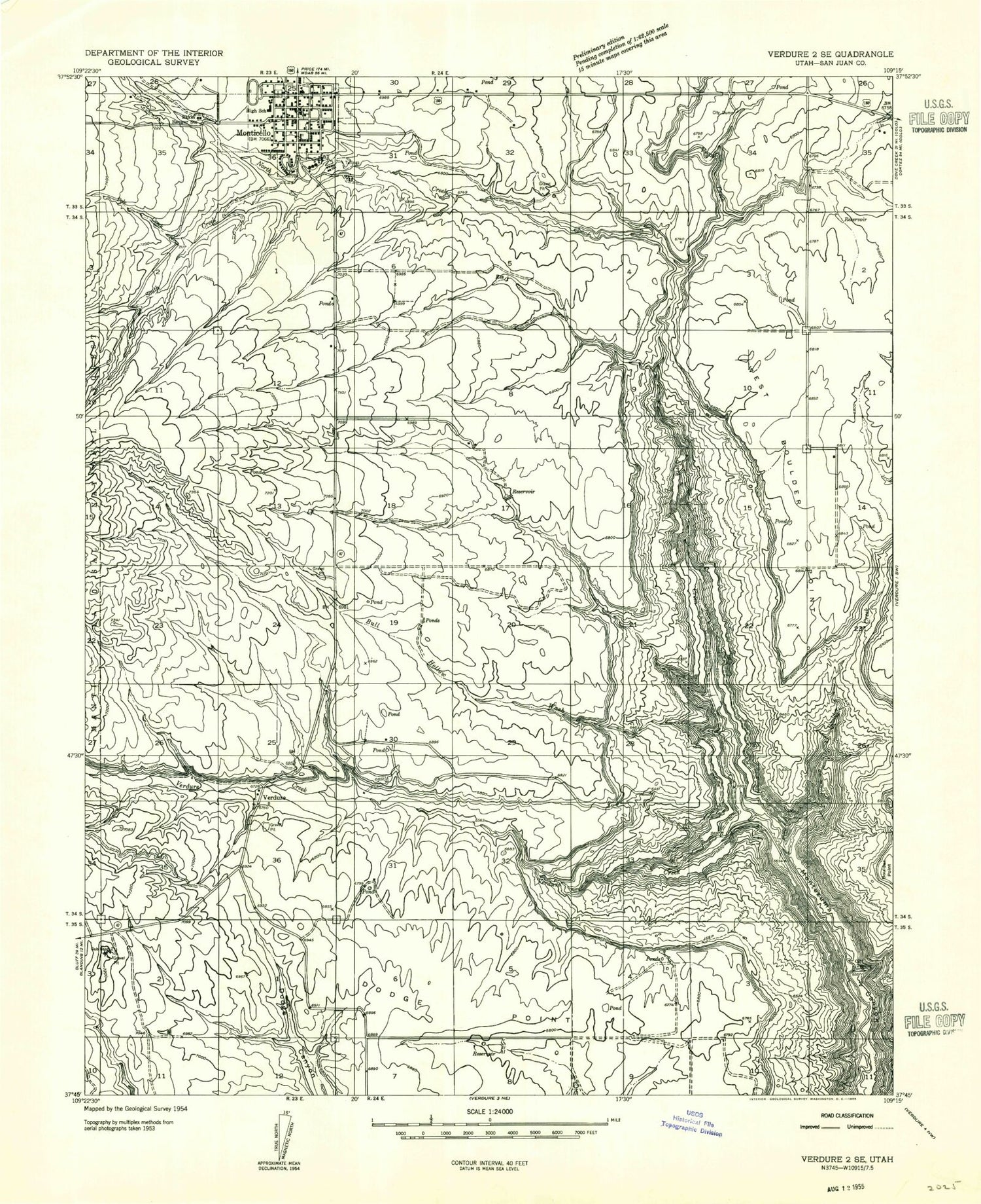
MyTopo
Classic USGS Monticello South Utah 7.5'x7.5' Topo Map
Couldn't load pickup availability
Historical USGS topographic quad map of Monticello South in the state of Utah. Map scale may vary for some years, but is generally around 1:24,000. Print size is approximately 24" x 27"
This quadrangle is in the following counties: San Juan.
The map contains contour lines, roads, rivers, towns, and lakes. Printed on high-quality waterproof paper with UV fade-resistant inks, and shipped rolled.
Contains the following named places: Baker Ranger Station, Boulder Canyon, Boulder Creek, Bull Hollow, City of Monticello, Dodge Point, Halfway Hollow, Lloyds Lake, Monticello, Monticello City Cemetery, Monticello City Number One Dam, Monticello City Number One Reservoir, Monticello District Ranger Office, Monticello Fire Department, Monticello Golf Course, Monticello High School, Monticello Police Department, Monticello Post Office, North Creek, Pole Creek, Saint Josephs Catholic Church, San Juan Community Church, San Juan County Sheriff's Office, San Juan Emergency Medical Services - Monticello, San Juan Hospital, San Juan Hospital Heliport, Shingle Mill Draw, South Creek, The Church of Jesus Christ of Latter Day Saints, United States Forest Service Fire Station - Monticello Office, Utah Highway Patrol Section 13 Monticello Office, Vega Creek, Verdure, Verdure Cemetery, Verdure Creek, West Boulder Point, Westerner Trailer Park, Whipstock Draw