MyTopo
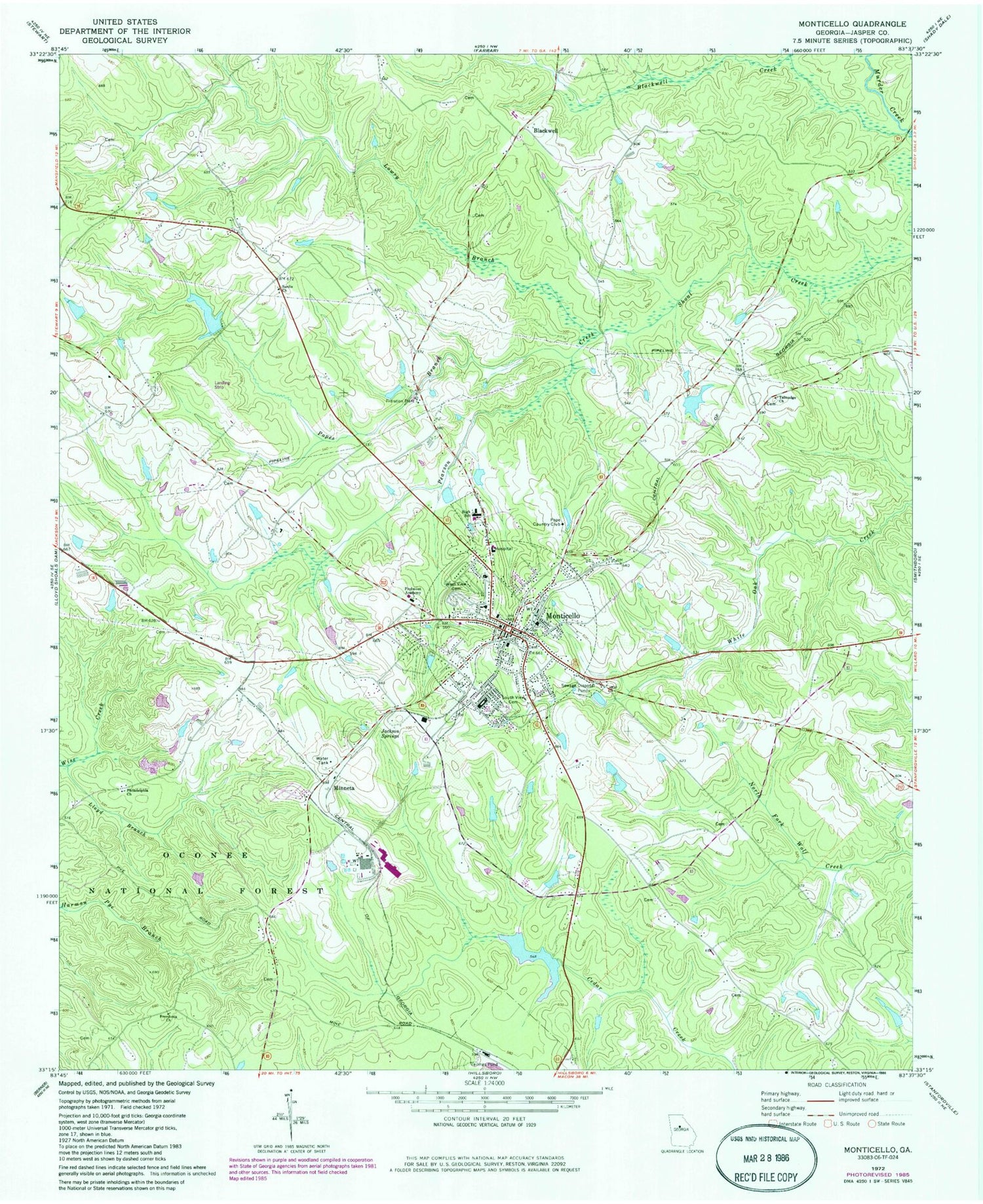
Classic USGS Monticello Georgia 7.5'x7.5' Topo Map
Couldn't load pickup availability
Historical USGS topographic quad map of Monticello in the state of Georgia. Map scale may vary for some years, but is generally around 1:24,000. Print size is approximately 24" x 27"
This quadrangle is in the following counties: Jasper.
The map contains contour lines, roads, rivers, towns, and lakes. Printed on high-quality waterproof paper with UV fade-resistant inks, and shipped rolled.
Contains the following named places: Benton Crossing, Blackwell, Blackwell Creek, City of Monticello, First Baptist Church, First United Methodist Church, Freedonia Church, Graham-Stafford Dam, Graham-Stafford Lake, Hebron Cemetery, Hebron Church, Jackson Springs, Jasper County, Jasper County Courthouse, Jasper County Emergency Medical Service, Jasper County Fire Department, Jasper County High School, Jasper County Jail, Jasper County Library, Jasper County Middle School, Jasper County Primary School, Jasper County Sheriff's Office, Jasper Memorial Hospital, Lloyd Branch, Lowry Branch, Malone Lake, Malone Lake Dam, Minneta, Monticello, Monticello Cemetery, Monticello Division, Monticello Female Academy, Monticello Lookout Tower, Monticello Methodist Church Cemetery, Monticello Police Department, Monticello Post Office, Monticello Sky Ranch Airport, Murphy Lake, Murphy Lake Dam, O H Banks Bridge, Pearson Creek, Philadelphia Church, Piedmont Academy, Piedmont Experimental Station, Pope Country Club, Popes Branch, Saint James African Methodist Episcopal Church, Sardis Church, Smith Lake, Smith Lake Dam, South View Cemetery, Talmadge Cemetery, Talmadge Church, Tucker Dam, Tucker Lake, Tyler Hunt Camp, Washington Park Elementary School, West View Cemetery, ZIP Code: 31064


