MyTopo
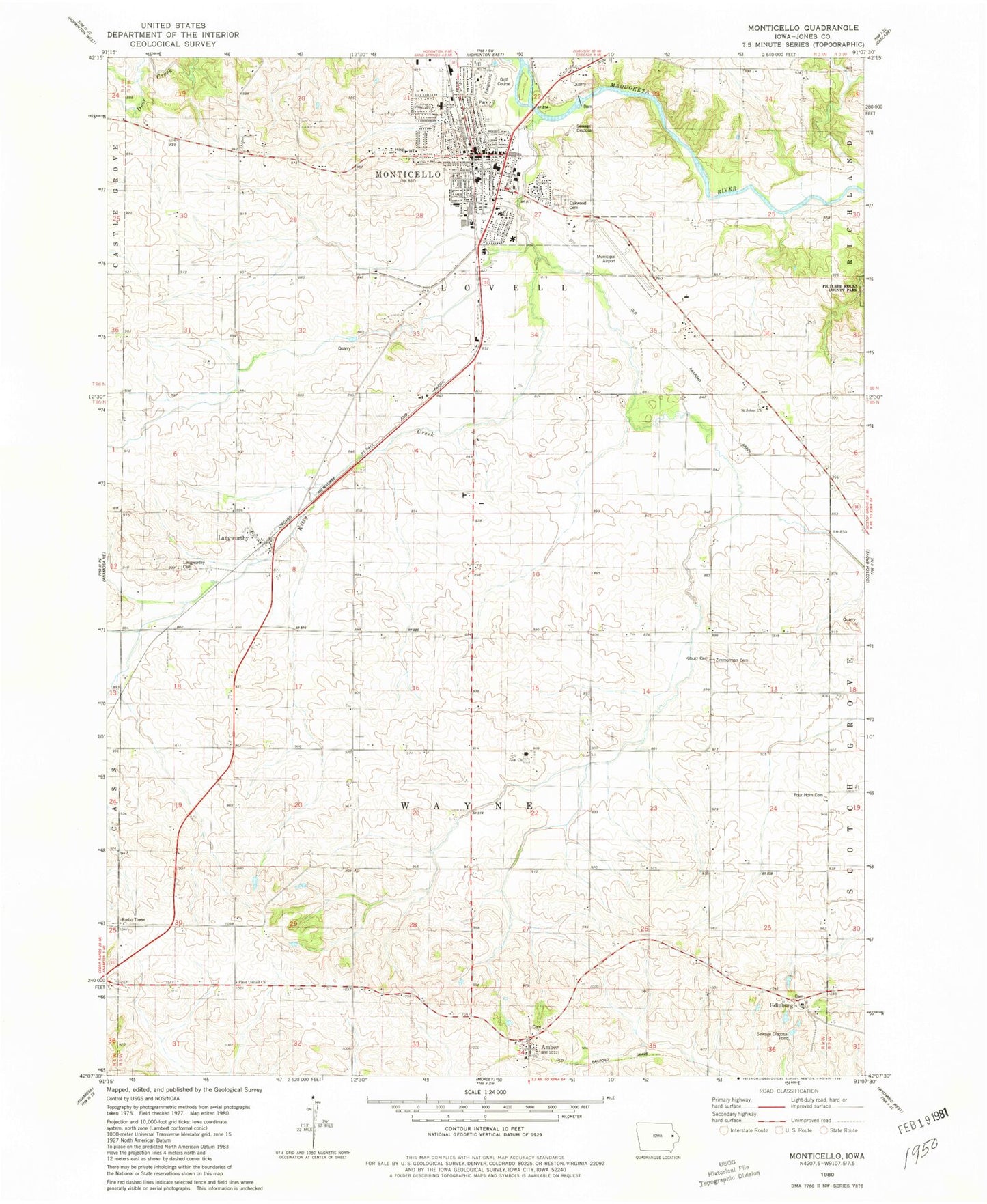
Classic USGS Monticello Iowa 7.5'x7.5' Topo Map
Couldn't load pickup availability
Historical USGS topographic quad map of Monticello in the state of Iowa. Map scale may vary for some years, but is generally around 1:24,000. Print size is approximately 24" x 27"
This quadrangle is in the following counties: Jones.
The map contains contour lines, roads, rivers, towns, and lakes. Printed on high-quality waterproof paper with UV fade-resistant inks, and shipped rolled.
Contains the following named places: Amber, Amber Cemetery, Amber Post Office, Berean Bible Church, Carpenter Elementary School, Church of the Nazarene, City of Monticello, East Monticello, Edinburg, Edinburg Cemetery, Edinburgh Ghost Town and Museum, Edinburgh Post Office, First Church of the Nazarene, First Congregational Church, First Presbyterian Church, First United Church, Four Horn Cemetery, Jacobs Park, John McDonald Hospital Heliport, Kiburz Cemetery, Kitty Creek, Langworthy, Langworthy Cemetery, Langworthy Post Office, Mon-Maq Dam, Monticello, Monticello Ambulance Service, Monticello Baptist Church, Monticello City Park, Monticello Family Medical Associates Center, Monticello Family Practice Center, Monticello Golf Club, Monticello Heritage Center, Monticello High School, Monticello Medical Center, Monticello Middle School, Monticello Nursing and Rehabilitation Center, Monticello Police Department, Monticello Post Office, Monticello Public Library, Monticello Regional Airport, Monticello Volunteer Fire Department, Oakwood Cemetery, Old Sutton School, Panther Park, Peace United Church of Christ, Riverside Gardens, Sacred Heart Church, Sacred Heart School, Saint Johns Church, Saint John's Church, Saint Johns Evangelical Lutheran Cemetery, Saint Joseph Catholic Church, Saint Matthews Lutheran Church, Shannon Elementary School, Township of Wayne, Wayne Zion Cemetery, Wayne Zion Church, West Kitty Creek, Y Park, Zimmerman Cemetery, Zion Church, ZIP Code: 52310


