MyTopo
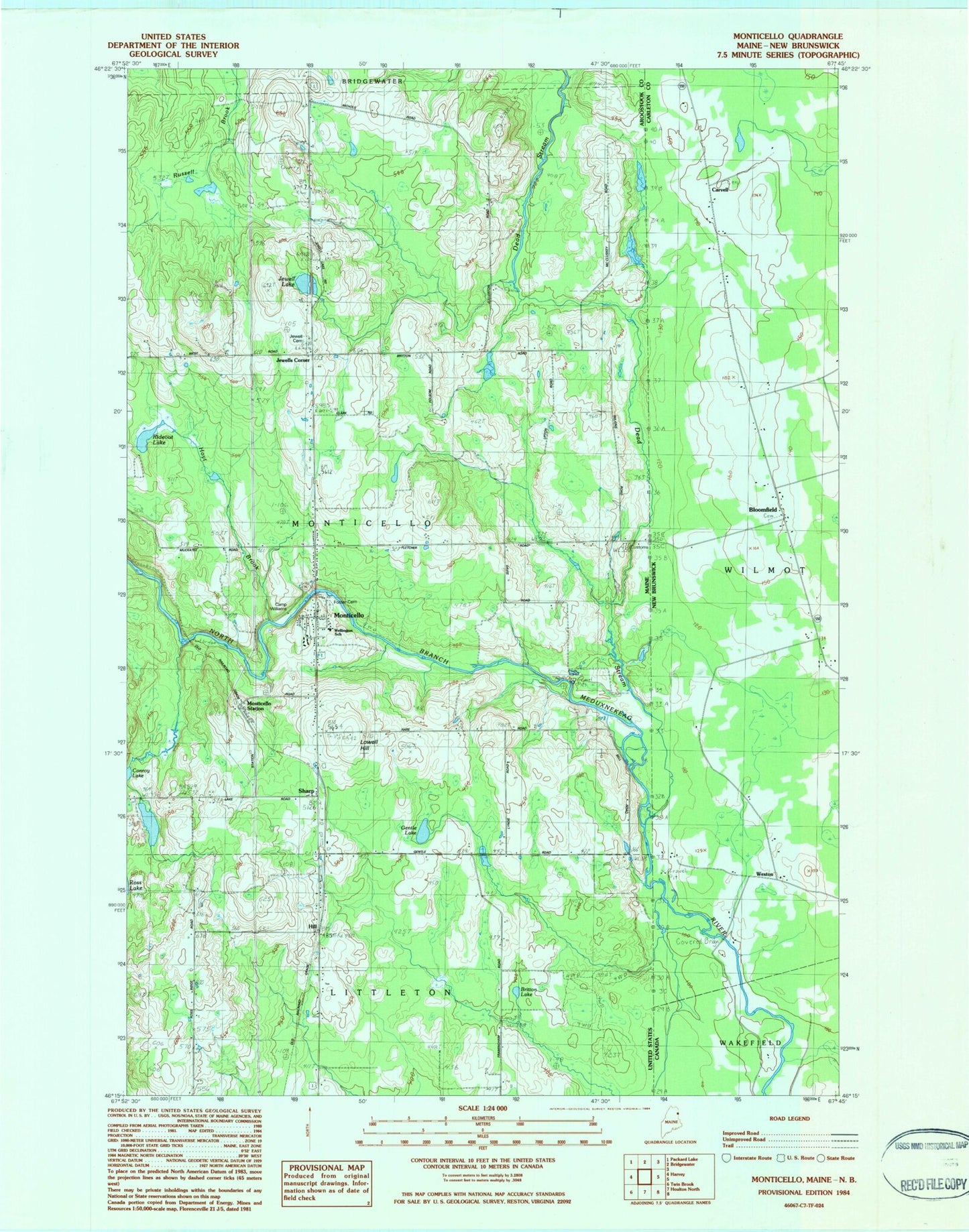
Classic USGS Monticello Maine 7.5'x7.5' Topo Map
Couldn't load pickup availability
Historical USGS topographic quad map of Monticello in the state of Maine. Map scale may vary for some years, but is generally around 1:24,000. Print size is approximately 24" x 27"
This quadrangle is in the following counties: Aroostook.
The map contains contour lines, roads, rivers, towns, and lakes. Printed on high-quality waterproof paper with UV fade-resistant inks, and shipped rolled.
Contains the following named places: Britton Lake, Britton School, Calvary Pentecostal Church, Camp Williams, Dead Stream, Foster Cemetery, Gentle Lake, Hill, Hoyt Brook, Jewell Cemetery, Jewell Lake, Jewells Corner, Lake School, Lowell Hill, Monticello, Monticello Fire Department, Monticello Post Office, Monticello Station, Monticello United Methodist Church, Monticello Wesleyan Church, Rideout Lake, Ross School, Sharp, Town of Monticello, Village Cemetery, Wellington School, WXME-AM (Monticello)