MyTopo
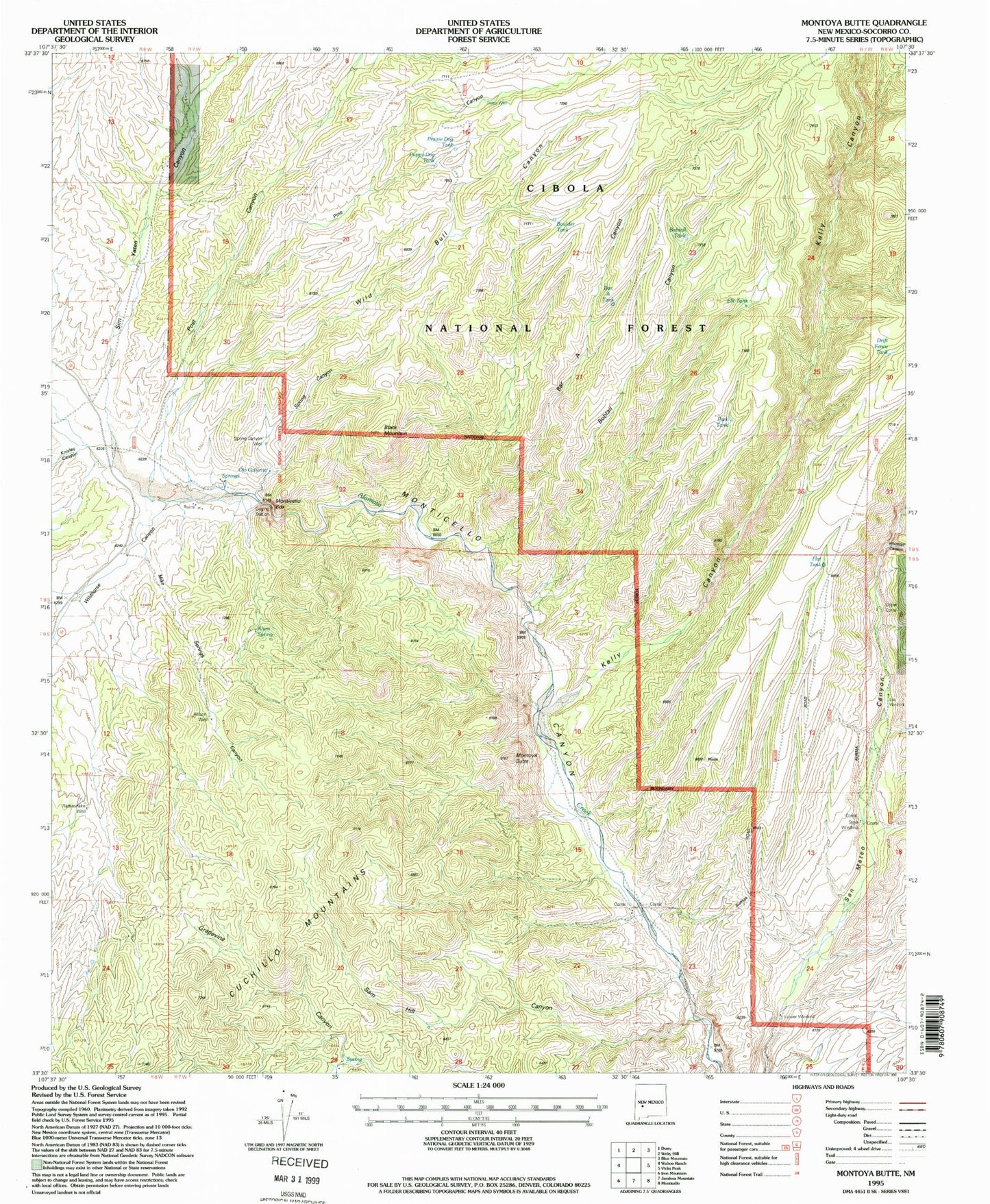
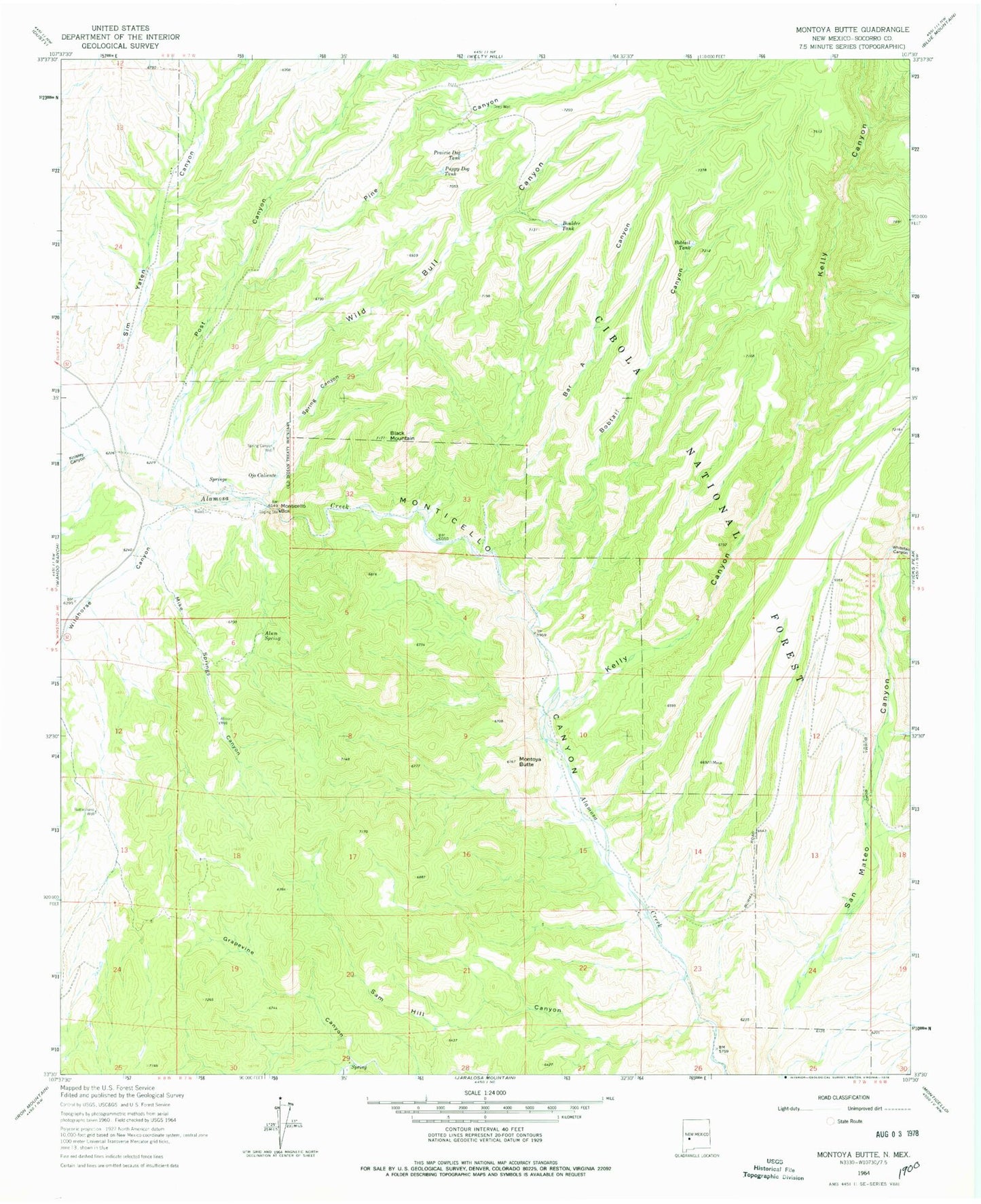
Classic USGS Montoya Butte New Mexico 7.5'x7.5' Topo Map
Couldn't load pickup availability
Historical USGS topographic quad map of Montoya Butte in the state of New Mexico. Map scale may vary for some years, but is generally around 1:24,000. Print size is approximately 24" x 27"
This quadrangle is in the following counties: Socorro.
The map contains contour lines, roads, rivers, towns, and lakes. Printed on high-quality waterproof paper with UV fade-resistant inks, and shipped rolled.
Contains the following named places: Allison Well, Alum Spring, Bar A Canyon, Bar A Tank, Bennie Mil Water Well, Black Mountain, Bobtail Canyon, Bobtail Tank, Boulder Tank, Cherryville, Deep Water Well, Deep Well, Drift Fence Tank, Eds Windmill, Elk Tank, Flat Tank, Kelly Canyon, Knisely Canyon, Lower Windmill, Mike Springs Canyon, Monticello Box, Montoya Butte, Ojo Caliente, Ojo Caliente Military Post Historic Site, Ojo Caliente Spring, Park Tank, Pine Canyon, Post Canyon, Prairie Dog Tank, Puppy Dog Tank, Rattlesnake Well, Sam Hill Canyon, Sim Yaten Canyon, Spring Canyon, Spring Canyon Well, Steel Windmill, Taylor, Upper Corral, Warm Springs Apache Reservation, Whitetail Canyon, Wild Bull Canyon, Wildhorse Canyon


