MyTopo
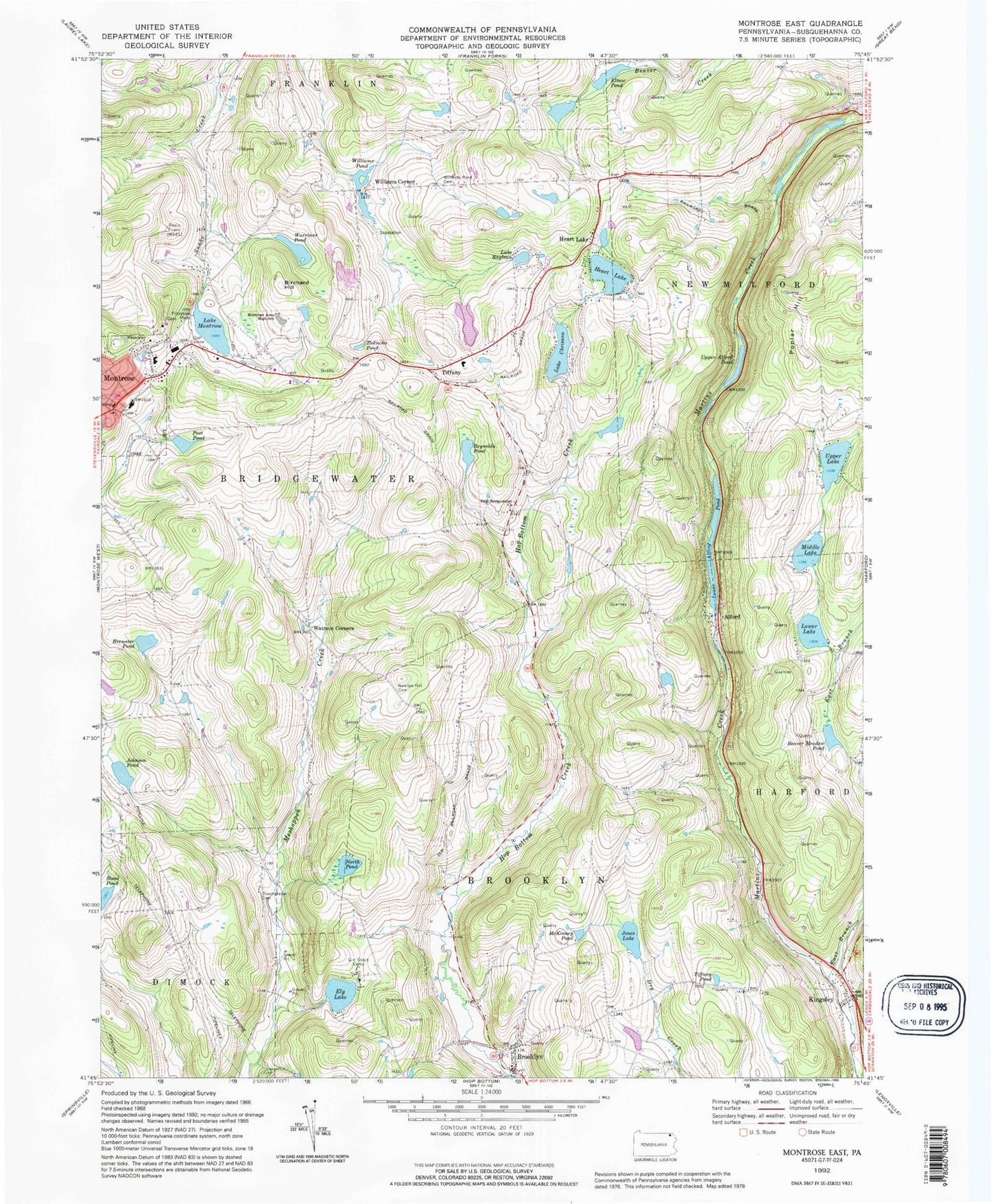
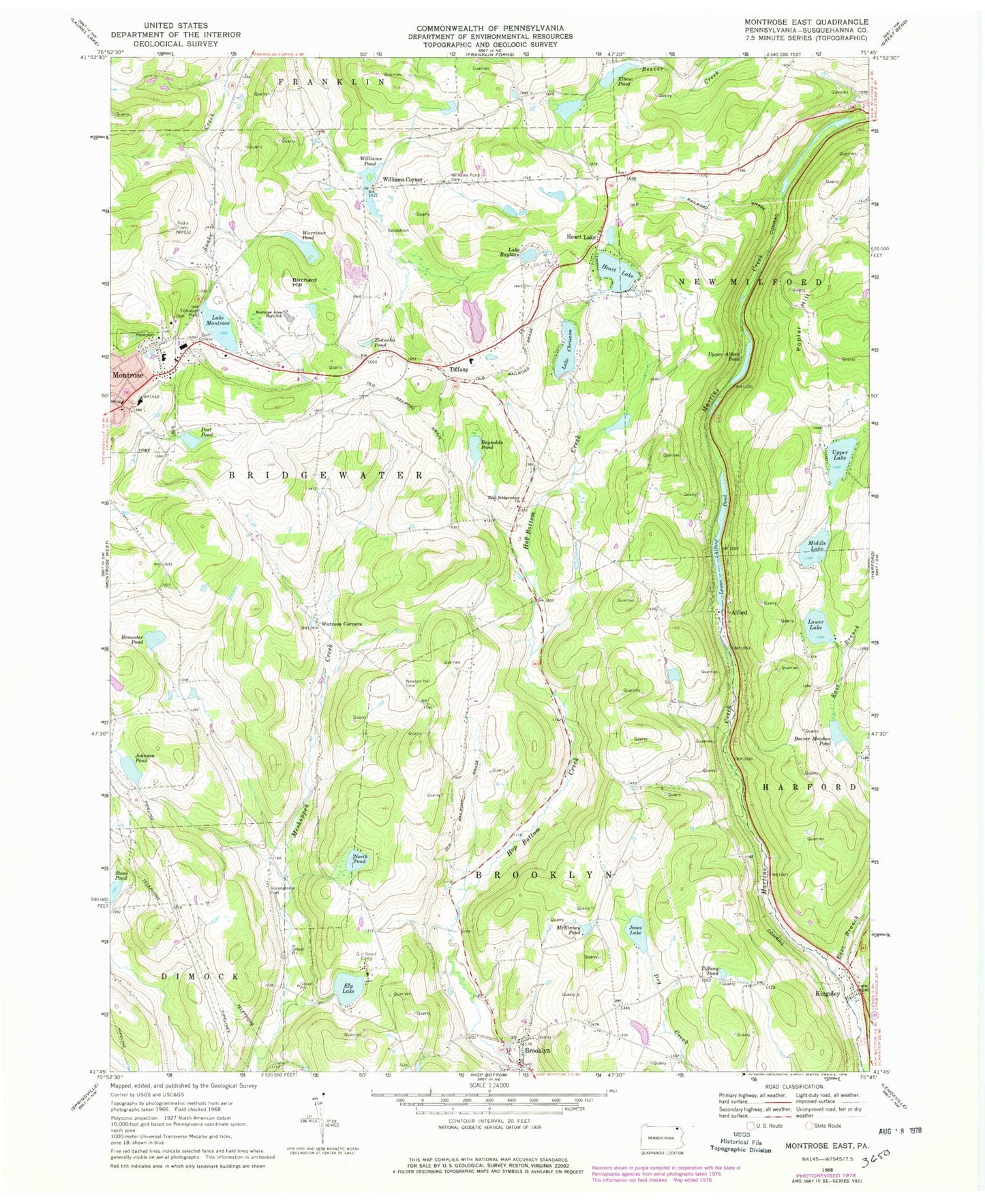
Classic USGS Montrose East Pennsylvania 7.5'x7.5' Topo Map
Couldn't load pickup availability
Historical USGS topographic quad map of Montrose East in the state of Pennsylvania. Map scale may vary for some years, but is generally around 1:24,000. Print size is approximately 24" x 27"
This quadrangle is in the following counties: Susquehanna.
The map contains contour lines, roads, rivers, towns, and lakes. Printed on high-quality waterproof paper with UV fade-resistant inks, and shipped rolled.
Contains the following named places: Alford, Beaver Meadow Pond, Birchard Hill, Brewster Pond, Brewster Pond Dam, Brooklyn, Brooklyn Post Office, East Branch Martins Creek, East Bridgewater Church, East Bridgewater School, Elbow Pond, Ely Lake, Gardner School, Heart Lake, Johnson Pond, Jones Lake, Kingsley, Kingsley Post Office, Lake Chrisann, Lake Montrose, Lake Montrose Dam, Lake Montrose Plaza, Lake Raylean, Lathrop Street Elementary School, Loomis Lake, Loomis Lake Dam, Lower Alford Dam, Lower Alford Pond, Lower Lake, Lower Lake Dam, McKinney Pond, Middle Lake, Middle Lake Dam, Montrose Area High School, Montrose Area High School Memorial Stadium, Montrose General Hospital, Montrose Minute Men Ambulance, Mott School, Newton Hill Cemetery, North Pond, Pa-468 Dam, Pa-468 Reservoir, Poplar Hill, Post Pond, Post Pond Dam, Reynolds Pond, Rosengrants Cemetery, Stone Pond, Susquehanna County, Tiffany, Tiffany Pond, Township of Bridgewater, Township of Brooklyn, Upper Alford Pond, Upper Lake, Warner Dam, Warner Pond, Warriner Pond, Watrous Corners, Williams Corner, Williams Pond, Williams Pond Cemetery, Williams Pond Dam, WPEL-AM (Montrose), WPEL-FM (Montrose), Zlotucha Pond


