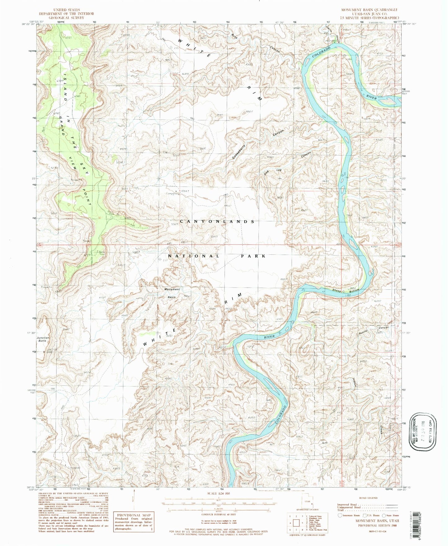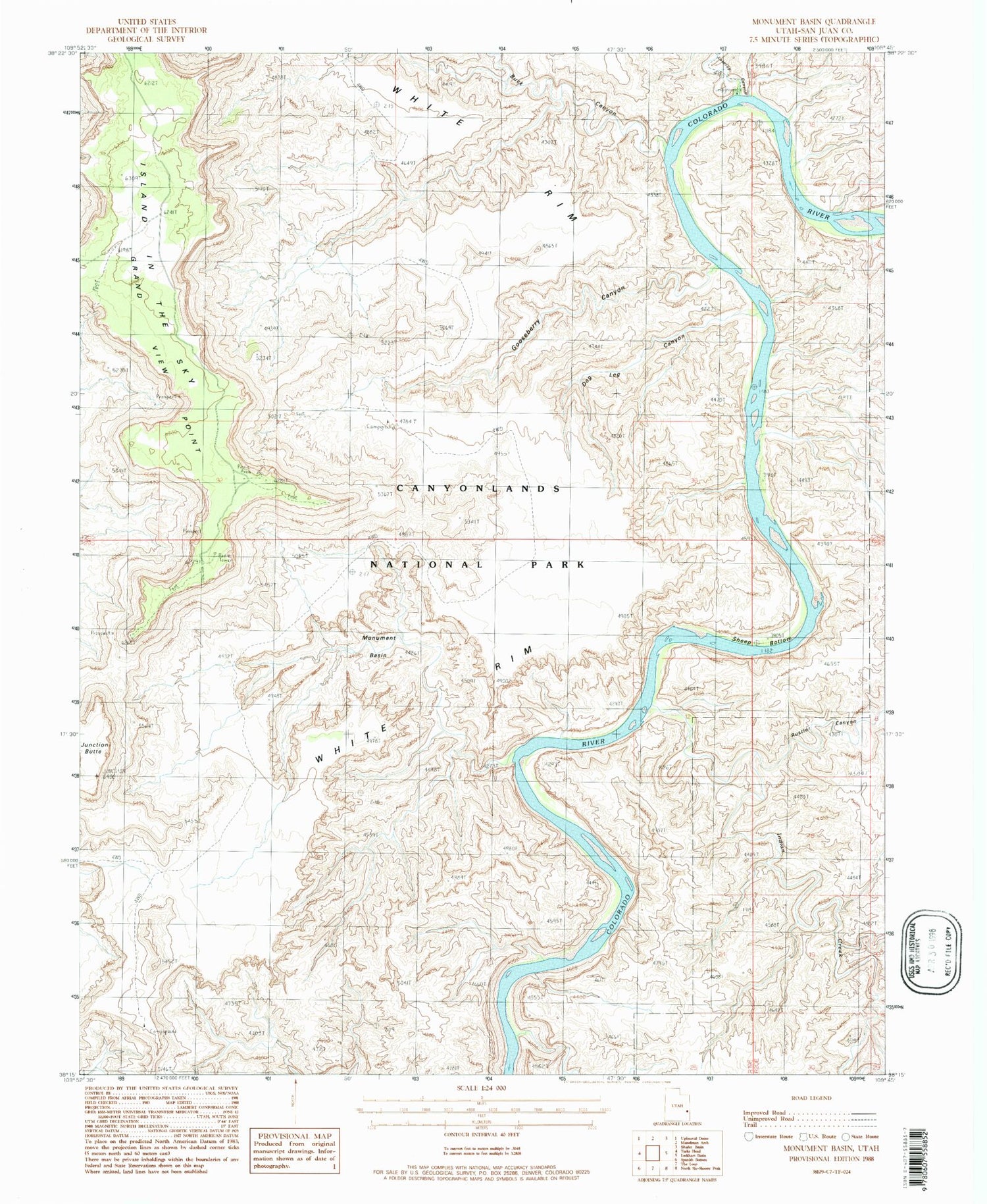
MyTopo
Classic USGS Monument Basin Utah 7.5'x7.5' Topo Map
Regular price
$16.95
Regular price
Sale price
$16.95
Unit price
per
Couldn't load pickup availability
Historical USGS topographic quad map of Monument Basin in the state of Utah. Typical map scale is 1:24,000, but may vary for certain years, if available. Print size: 24" x 27"
This quadrangle is in the following counties: San Juan.
The map contains contour lines, roads, rivers, towns, and lakes. Printed on high-quality waterproof paper with UV fade-resistant inks, and shipped rolled.
Contains the following named places: Junction Butte, Rustler Canyon, Sheep Bottom, Monument Basin, Buck Canyon, Lathrop Canyon, Gooseberry Canyon, Dog Leg Canyon, Buck Canyon Overlook, Grand View Point Overlook, The Totem Pole, White Rim Trail, Indian Creek, Grand View Point, Guillotine Arch