MyTopo
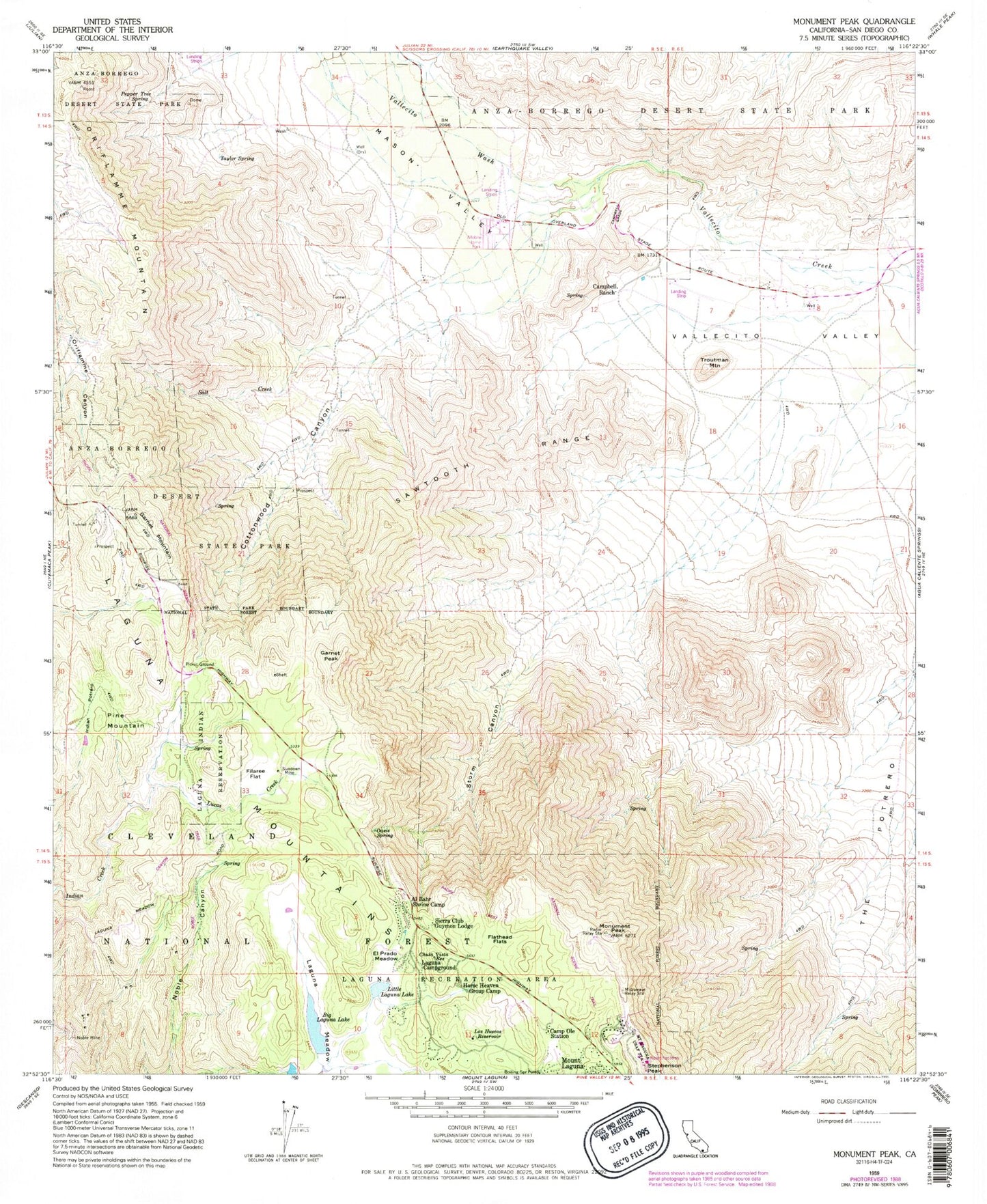
Classic USGS Monument Peak California 7.5'x7.5' Topo Map
Couldn't load pickup availability
Historical USGS topographic quad map of Monument Peak in the state of California. Typical map scale is 1:24,000, but may vary for certain years, if available. Print size: 24" x 27"
This quadrangle is in the following counties: San Diego.
The map contains contour lines, roads, rivers, towns, and lakes. Printed on high-quality waterproof paper with UV fade-resistant inks, and shipped rolled.
Contains the following named places: Al Bahr Shrine Camp, Big Laguna Lake, Boiling Spring Ravine, Camp Ole Station, Campbell Grade, Campbell Ranch, Chula Vista Reservoir, Cottonwood Canyon, El Prado Meadow, Filaree Flat, Flathead Flats, Garnet Mountain, Horse Heaven Group Camp, Indian Potrero, Laguna Campground, Laguna Indian Reservation (historical), Laguna Meadow, Little Laguna Lake, Los Huecos Reservoir, Lucas Creek, Mason Valley, Monument Peak, Noble Mine, Oasis Spring, Pepper Tree Spring, Salt Creek, Sawtooth Range, Sierra Club Guymon Lodge, Storm Canyon, Sundown Mine, Taylor Spring, The Potrero, Troutman Mountain, Vallecito Wash, Pioneer Mail, Garnet Information Center, Garnet Peak Trail, Witches Broom Trail, EL Prado Group Camp, Rancho Vallecito Airport (historical), Boiling Spring Pump, Garnet Peak, Oriflamme Mountain, Pine Mountain, Stephenson Peak, Laguna Work Center, Camp Ole (historical), El Prado Campground, Mount Laguna Air Force Station, Penny Pines Interpretive Site, Storm Canyon Vista Trailhead, Hawi-Vallecito Cultural Preserve


