MyTopo
Classic USGS Monumental Buttes Idaho 7.5'x7.5' Topo Map
Couldn't load pickup availability
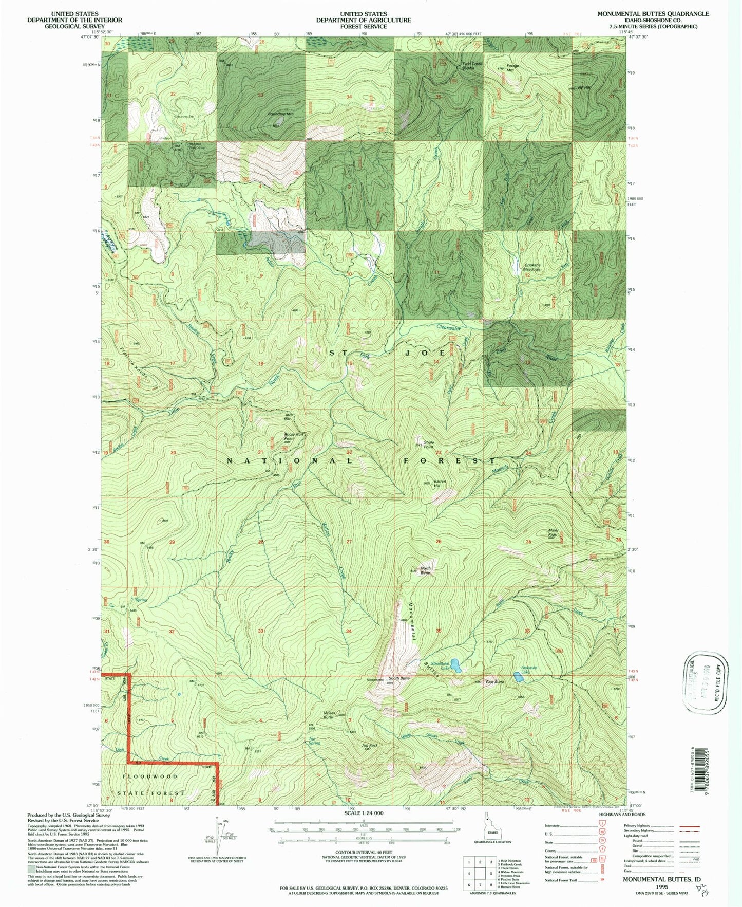
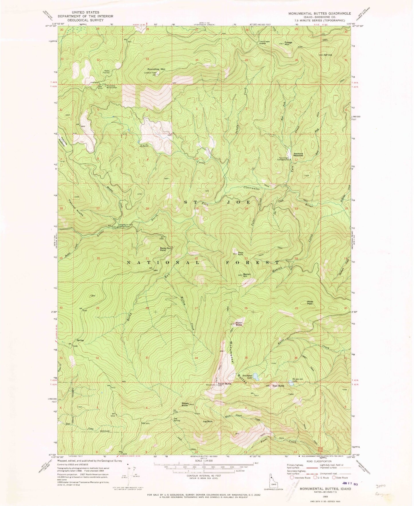
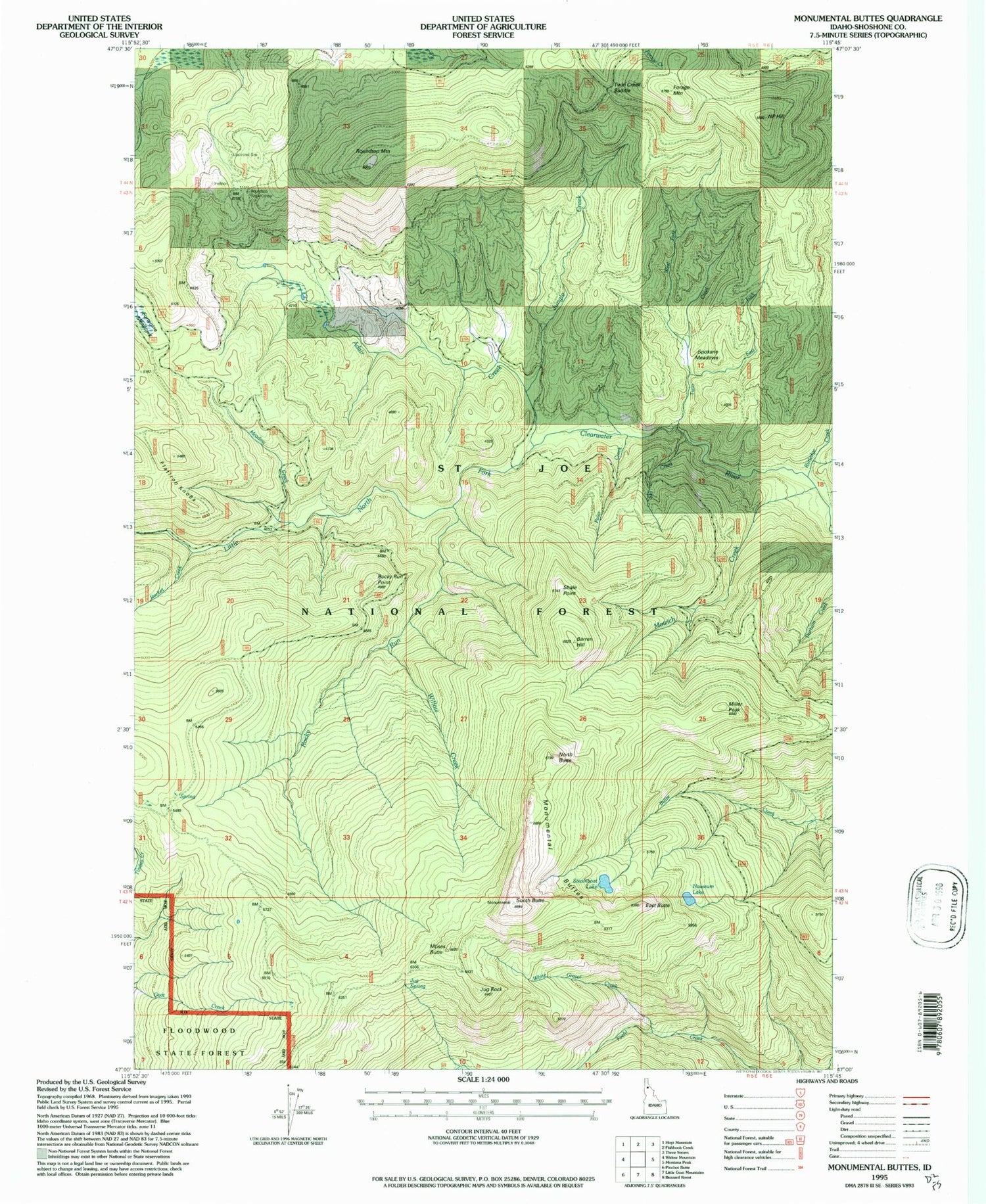
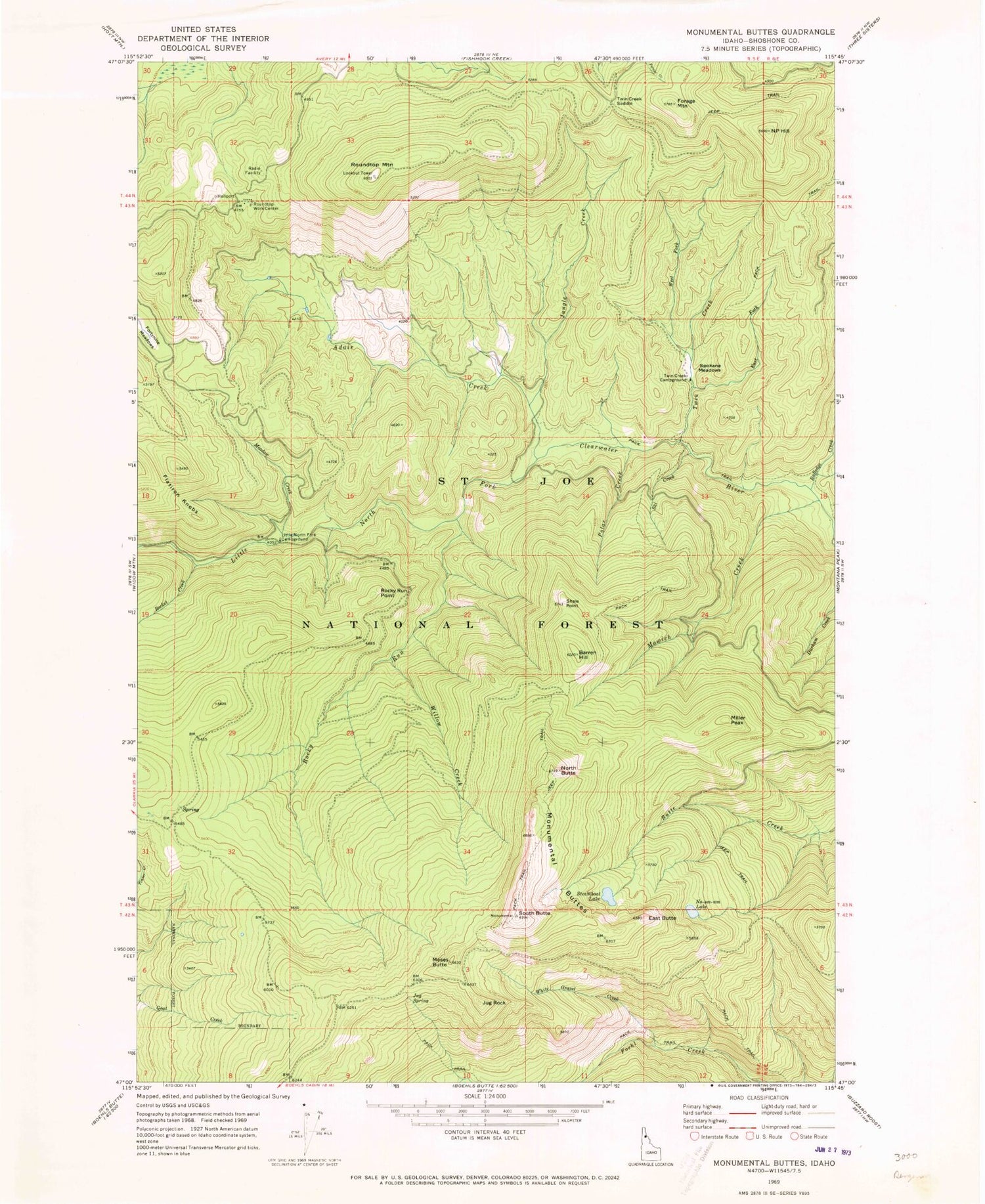
Historical USGS topographic quad map of Monumental Buttes in the state of Idaho. Map scale may vary for some years, but is generally around 1:24,000. Print size is approximately 24" x 27"
This quadrangle is in the following counties: Shoshone.
The map contains contour lines, roads, rivers, towns, and lakes. Printed on high-quality waterproof paper with UV fade-resistant inks, and shipped rolled.
Contains the following named places: Adair Creek, Barren Hill, East Butte, East Fork Twin Creek, Flatiron Knobs, Forage Mountain, Fortune Meadows, Jug Rock, Jug Spring, Jungle Creek, Little North Fork Campground, Meadow Creek, Miller Peak, Monumental Buttes, Moses Butte, Mowich Creek, N P Hill, North Butte, Noseeum Lake, Old Montana Trail, Polar Creek, Rocket Creek, Rocky Run, Rocky Run Point, Roundtop Guard Station, Roundtop Mountain, Roundtop Work Center, Rutledge Creek, Shale Point, Ski Creek, South Butte, Spokane Meadows, Steamboat Lake, Twin Creek, Twin Creek Campground, Twin Creek Saddle, Upper Fishook Research Natural Area, West Fork Twin Creek, White Gravel Creek, Willow Creek


