MyTopo
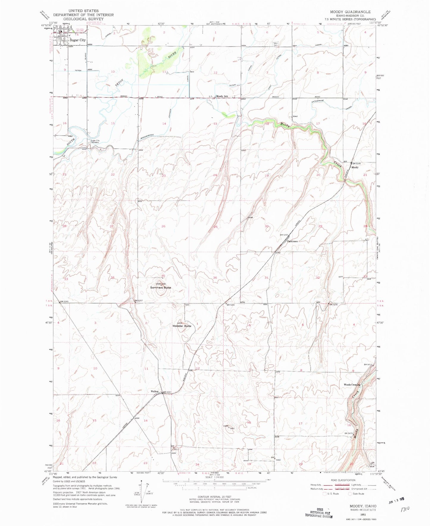
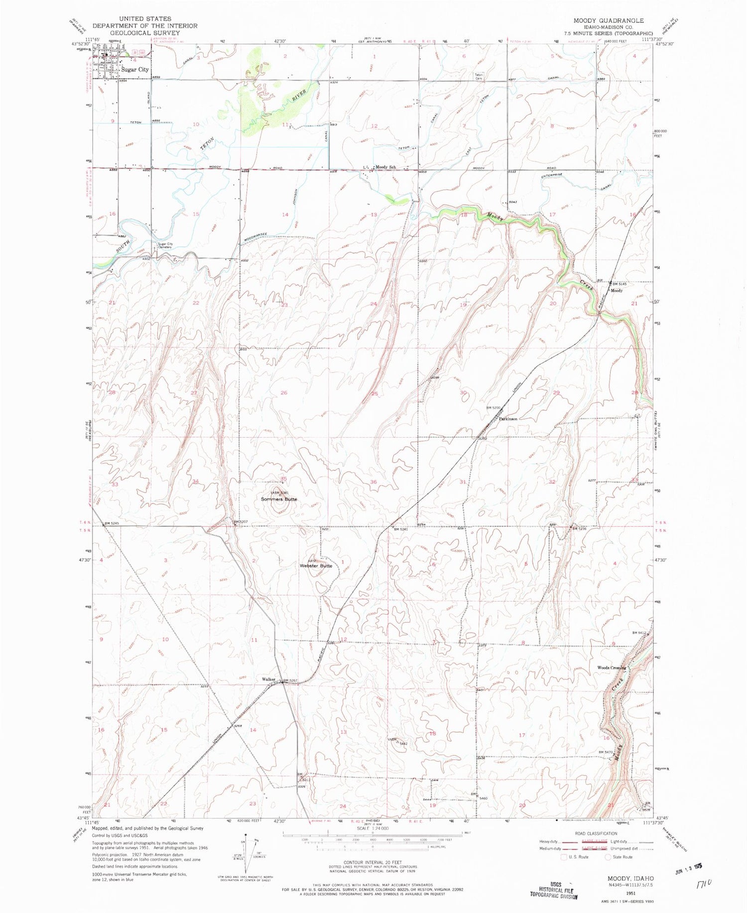
Classic USGS Moody Idaho 7.5'x7.5' Topo Map
Couldn't load pickup availability
Historical USGS topographic quad map of Moody in the state of Idaho. Map scale may vary for some years, but is generally around 1:24,000. Print size is approximately 24" x 27"
This quadrangle is in the following counties: Madison.
The map contains contour lines, roads, rivers, towns, and lakes. Printed on high-quality waterproof paper with UV fade-resistant inks, and shipped rolled.
Contains the following named places: Central Elementary School, Enterprise Canal, Gale, Madison County, Moody, Moody Creek, Moody Creek Access Area, Moody School, Parkinson, Sommers Butte, Sugar - Salem High School, Sugar City, Sugar City Cemetery, Sugar City Post Office, Sugar-Salem Junior High School, Teton Cemetery, Teton Island Canal, Walker, Webster Butte, Woodmansee Johnson Canal, Woods Crossing, ZIP Codes: 83448, 83451