MyTopo
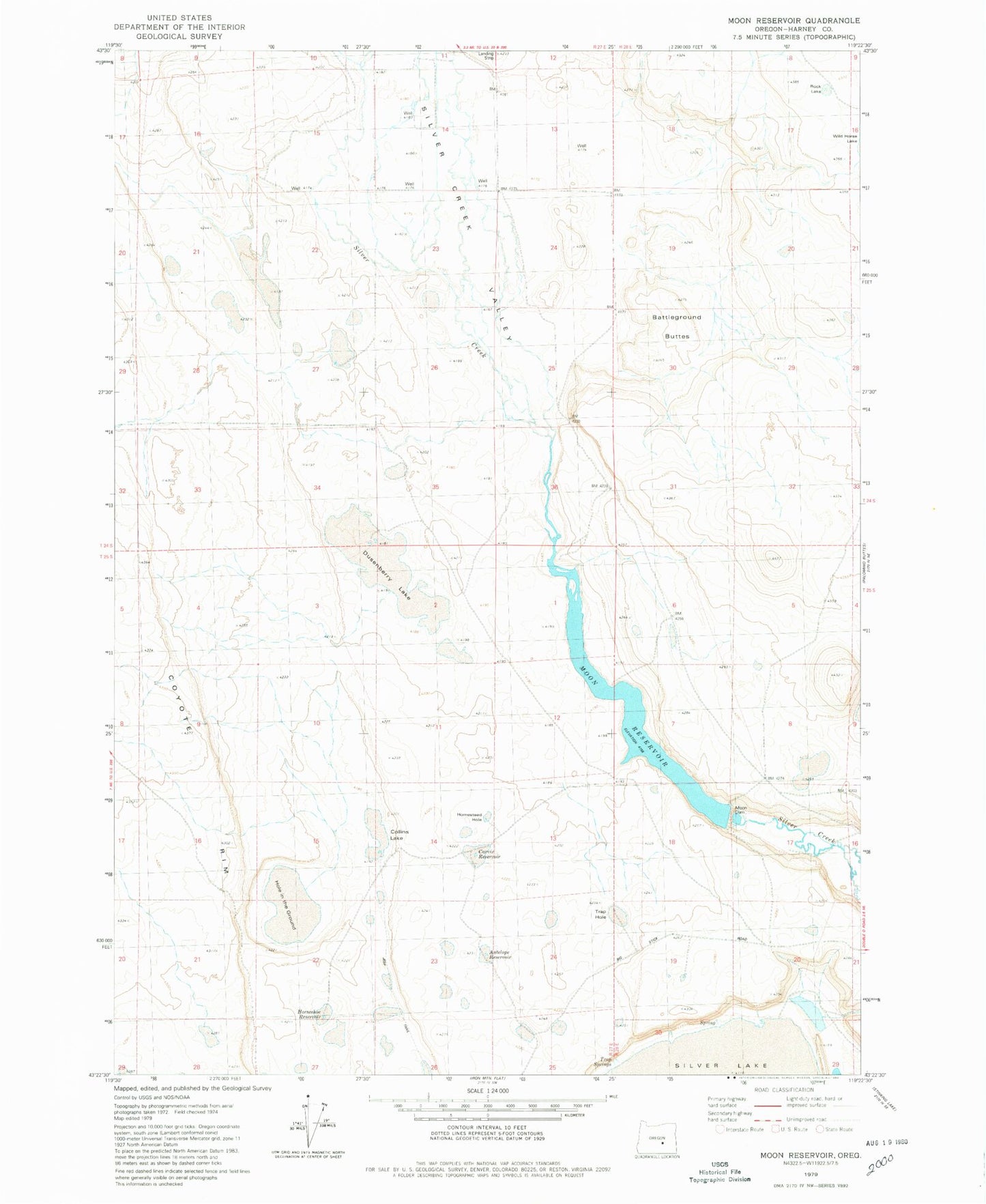
Classic USGS Moon Reservoir Oregon 7.5'x7.5' Topo Map
Couldn't load pickup availability
Historical USGS topographic quad map of Moon Reservoir in the state of Oregon. Map scale may vary for some years, but is generally around 1:24,000. Print size is approximately 24" x 27"
This quadrangle is in the following counties: Harney.
The map contains contour lines, roads, rivers, towns, and lakes. Printed on high-quality waterproof paper with UV fade-resistant inks, and shipped rolled.
Contains the following named places: Antelope Reservoir, Battleground Buttes, Carvix Reservoir, Collins Lake, Coyote Rim, Dusenberry Lake, Hole in the Ground, Homestead Hole, Horseshoe Reservoir, Moon Dam, Moon Reservoir, Moon Reservoir Recreation Site Boat Ramp, Rock Lake, Silver Creek Valley, Trap Hole, Trap Springs