MyTopo
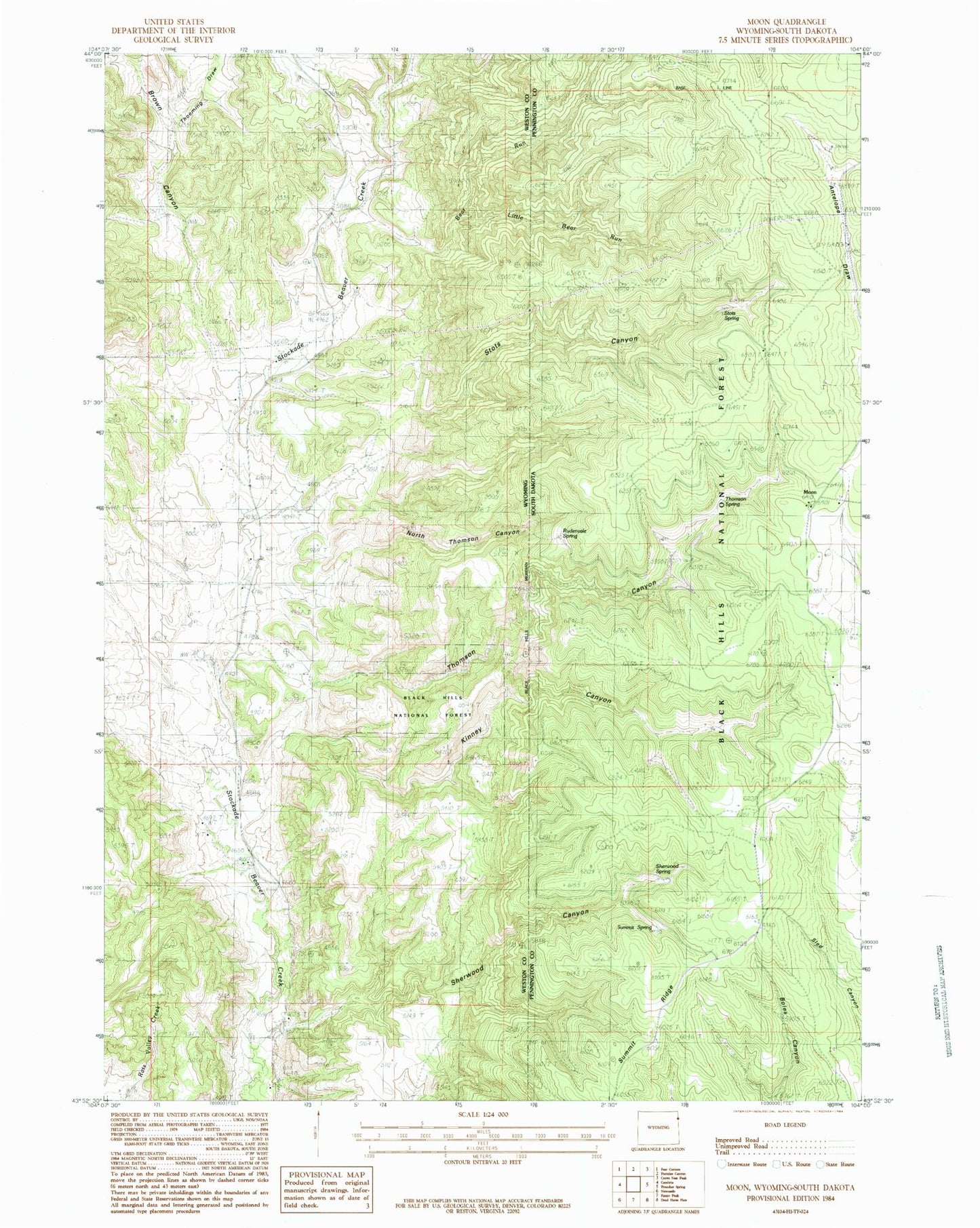
Classic USGS Moon South Dakota 7.5'x7.5' Topo Map
Couldn't load pickup availability
Historical USGS topographic quad map of Moon in the states of South Dakota, Wyoming. Map scale may vary for some years, but is generally around 1:24,000. Print size is approximately 24" x 27"
This quadrangle is in the following counties: Pennington, Weston.
The map contains contour lines, roads, rivers, towns, and lakes. Printed on high-quality waterproof paper with UV fade-resistant inks, and shipped rolled.
Contains the following named places: Antelope Springs, Bear Run, Brown Canyon, Dolores Number 1 Dam, Jordon Dam, Jordon Reservoir, Kinney Canyon, Last Chance Filler Pit Mine, Little Bear Run, Martin Thompson Dam, Martin Thompson Reservoir, Moon, Moon Campground, Neuman-Scott Ranch, North Thomson Canyon, Rudenvale Spring, Sherwood Canyon, Sherwood Spring, Sherwood-Kinney Divide, Stots Canyon, Stots Spring, Summit Ridge, Summit Spring, Thoeming Draw, Thomson Canyon, Thomson Spring, Thomson-Kinney Divide