MyTopo
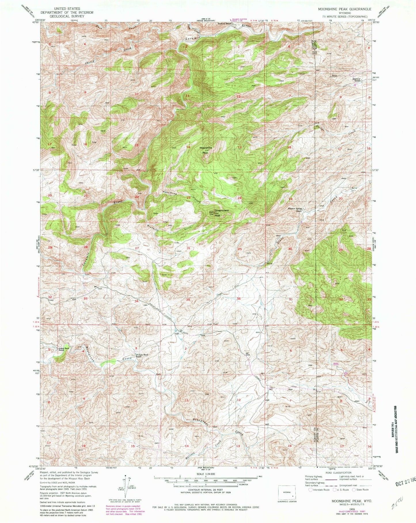
Classic USGS Moonshine Peak Wyoming 7.5'x7.5' Topo Map
Couldn't load pickup availability
Historical USGS topographic quad map of Moonshine Peak in the state of Wyoming. Map scale may vary for some years, but is generally around 1:24,000. Print size is approximately 24" x 27"
This quadrangle is in the following counties: Albany, Platte.
The map contains contour lines, roads, rivers, towns, and lakes. Printed on high-quality waterproof paper with UV fade-resistant inks, and shipped rolled.
Contains the following named places: Adam Boyd Ranch, Bookout Ranch, Bradbury Gulch, Duck Creek, Emerald Group Mine, George Creek Mine, Government Peak, Groves and Collins Deposit, Halleck Canyon Area Mine, Halleck Creek, Meadow Spring Ranch, Moonshine Gulch, Moonshine Peak, Plaga-Judd Deposit, Romsa Dolomite Deposit, Schreyer Ranch, White Hound Canyon, William Boyd Ranch