MyTopo
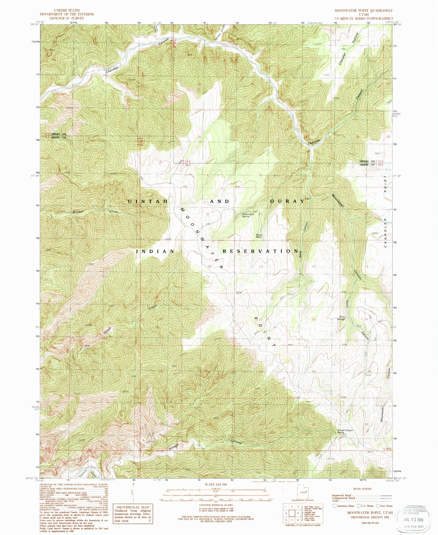
Classic USGS Moonwater Point Utah 7.5'x7.5' Topo Map
Regular price
$16.95
Regular price
Sale price
$16.95
Unit price
per
Couldn't load pickup availability
Historical USGS topographic quad map of Moonwater Point in the state of Utah. Map scale may vary for some years, but is generally around 1:24,000. Print size is approximately 24" x 27"
This quadrangle is in the following counties: Grand, Uintah.
The map contains contour lines, roads, rivers, towns, and lakes. Printed on high-quality waterproof paper with UV fade-resistant inks, and shipped rolled.
Contains the following named places: Anna Laura Spring, Burnt Canyon, Chandler Pasture, Deep Canyon, Marys Water, Moonwater Canyon, Moonwater Point, Papoose Canyon, Pinto Canyon, Pinto Springs, Slough Canyon Spring