MyTopo
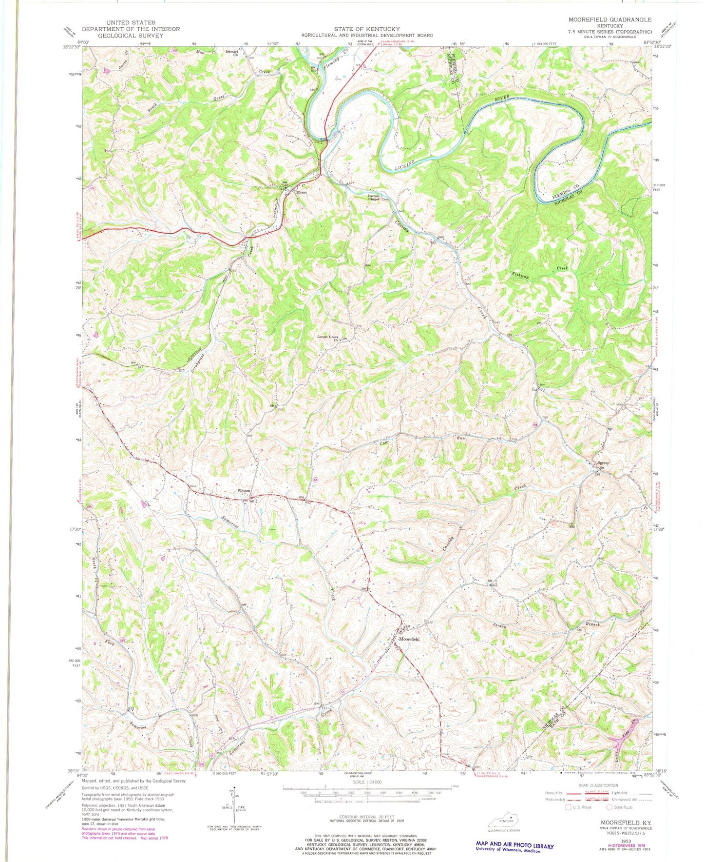
Classic USGS Moorefield Kentucky 7.5'x7.5' Topo Map
Couldn't load pickup availability
Historical USGS topographic quad map of Moorefield in the state of Kentucky. Map scale may vary for some years, but is generally around 1:24,000. Print size is approximately 24" x 27"
This quadrangle is in the following counties: Bath, Fleming, Nicholas.
The map contains contour lines, roads, rivers, towns, and lakes. Printed on high-quality waterproof paper with UV fade-resistant inks, and shipped rolled.
Contains the following named places: Barbees View School, Barbie View School, Blackhawk Post Office, Cane Run, Carlisle Division, Cassidy Creek, Cassidys Crick Mill, Cassidys Crick Post Office, Clay Wildlife Management Area, Fishtrap Creek, Fleming Creek, Ishmael Church, Licking River Bridge, Locust Grove Church, Locust Grove Church Cemetery, Locust Grove School, Marengo Post Office, Miranda Post Office, Moorefield, Moorefield Post Office, Moorefield School, Myers, Myers Railroad Station, Myers School, Myersville Post Office, Parks Ferry, Parks Mill, Parks Mill Railroad Station, Parrish Chapel, Scrubgrass Creek, South Goose Creek, Sprout, Sprout Post Office, Tea Run Church, Tuckers Mill, Weston, Weston Post Office, Whites School, ZIP Code: 40311


