MyTopo
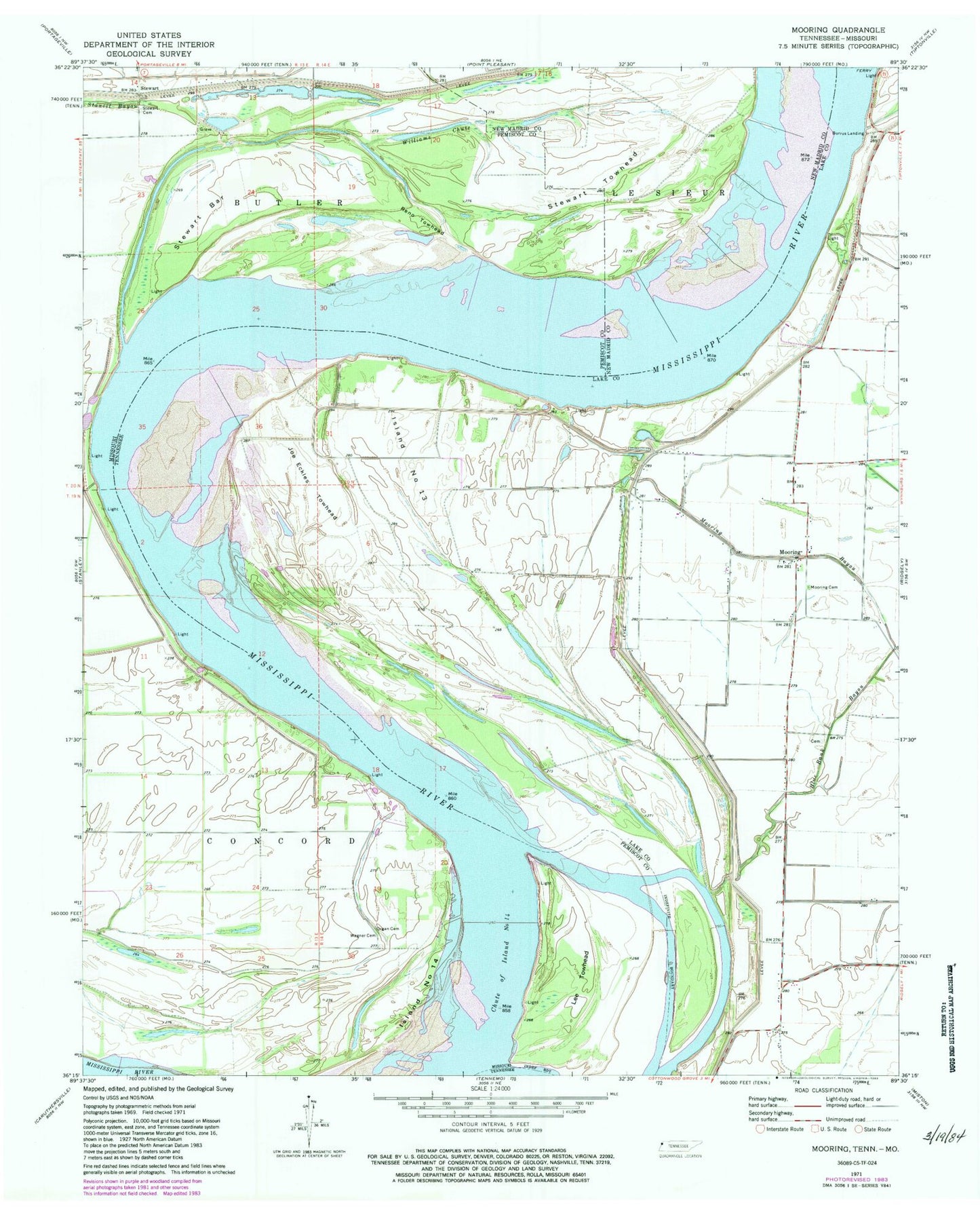
Classic USGS Mooring Tennessee 7.5'x7.5' Topo Map
Couldn't load pickup availability
Historical USGS topographic quad map of Mooring in the states of Tennessee, Missouri. Map scale may vary for some years, but is generally around 1:24,000. Print size is approximately 24" x 27"
This quadrangle is in the following counties: Lake, New Madrid, Pemiscot.
The map contains contour lines, roads, rivers, towns, and lakes. Printed on high-quality waterproof paper with UV fade-resistant inks, and shipped rolled.
Contains the following named places: Alaska Light Bar, Bend of Island Number Fourteen, Bend of Island Number Fourteen Revetment, Bend School, Burnette Church, Burrus Landing, Cherokee Landing, Chute of Island Number 14, Commissioner District 2, Commissioner District 3, Crenshaw Landing, Fourteen Bend, Head of Island Number Thirteen Dikes, Island Number 14, Island Number Thirteen, Joe Eckles Towhead, Kennedy, Lee Towhead, Lee Towhead Revetment, Little Cypress Bend, Merriwether Bend, Merriwether-Cherokee Revetment, Mooring, Mooring Bayou, Mooring Cemetery, Mooring Church, Mooring School, Old Graveyard Slough, Organ Cemetery, Organ School, Peacock Field, Reno Towhead, Riley Landing, Rons Dam, Sheep Ridge, Stewart, Stewart Bar, Stewart Cemetery, Stewart Towhead, Tiptonville Ferry, Township of Butler, Wagner Cemetery, Williams Chute


