MyTopo
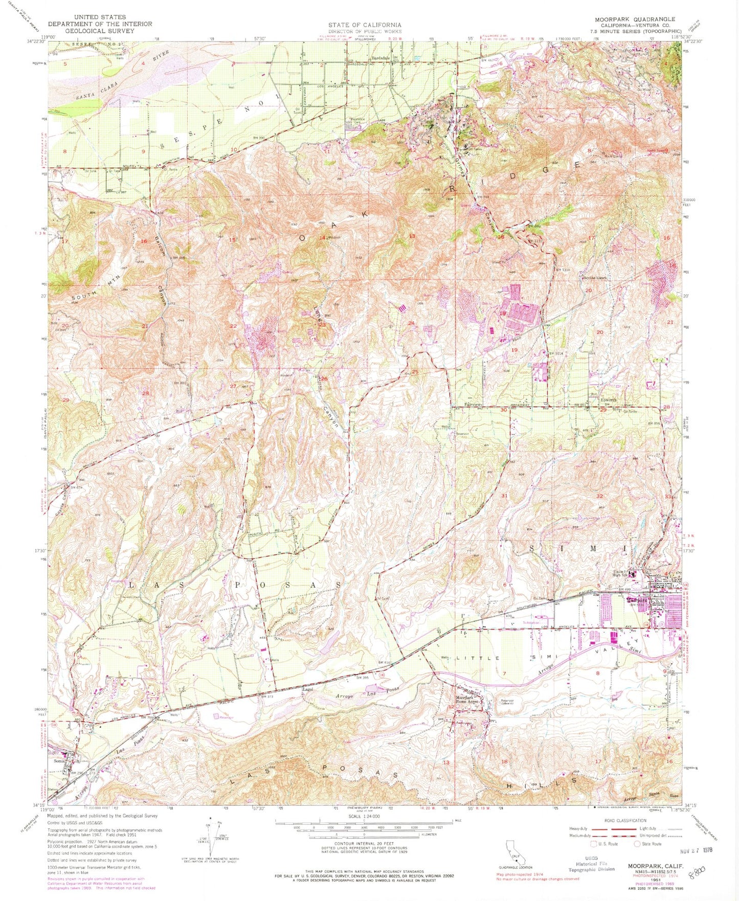
Classic USGS Moorpark California 7.5'x7.5' Topo Map
Couldn't load pickup availability
Historical USGS topographic quad map of Moorpark in the state of California. Map scale may vary for some years, but is generally around 1:24,000. Print size is approximately 24" x 27"
This quadrangle is in the following counties: Ventura.
The map contains contour lines, roads, rivers, towns, and lakes. Printed on high-quality waterproof paper with UV fade-resistant inks, and shipped rolled.
Contains the following named places: Arroyo Simi, Arroyo Vista Community Park, Arroyo West School, Balcom Canyon, Bardsdale, Bardsdale Cemetery, Bardsdale United Methodist Church, Baymuir Ranch, Chaparral Middle School, City of Moorpark, Coyote Canyon, Elkins Ranch Golf Course, Epworth, Fairview, Flory Elementary School, Fox Barranca, Frietas Ranch, Gateway Plaza at Moorpark Shopping Center, Glenwood Park, Grimes Canyon, Grimes Canyon Quarry, King Ranch, Lagol, Las Polas School, Las Posas, Las Posas Hills, Little Simi Valley, Long Canyon, Moorpark, Moorpark Branch Ventura County Library, Moorpark Chamber of Commerce, Moorpark City Fire Department, Moorpark City Hall, Moorpark Civic Center, Moorpark Home Acres, Moorpark Post Office, Moorpark Wastewater Treatment Plant, Mountain Meadows School, North Meadows Park, Oak Ridge Pit, Peach Hill Park, Peach Hill School, SCE Moorpark Substation Heliport, Sespe Number One, Skyline Ranch, Somis, Somis Census Designated Place, Somis Elementary School, Somis Library, Somis Post Office, South Meadows Park, Ternez, Union High School, Ventura County Fire Protection District Station 40, Ventura County Fire Protection District Station 42 Moorpark, Ventura County Fire Protection District Station 57, ZIP Code: 93021


