MyTopo
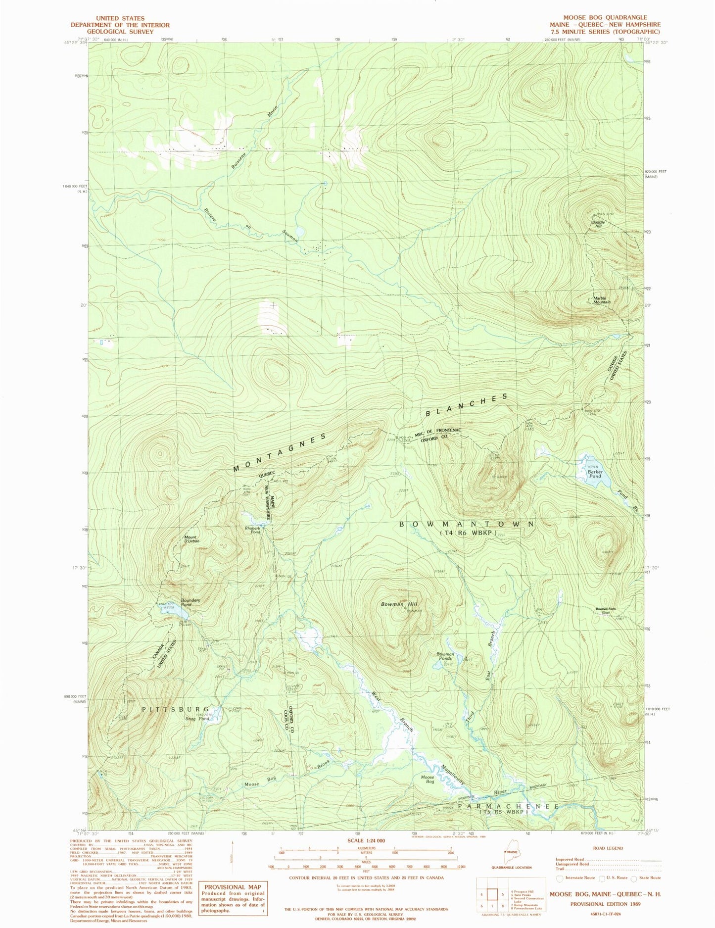
Classic USGS Moose Bog Maine 7.5'x7.5' Topo Map
Couldn't load pickup availability
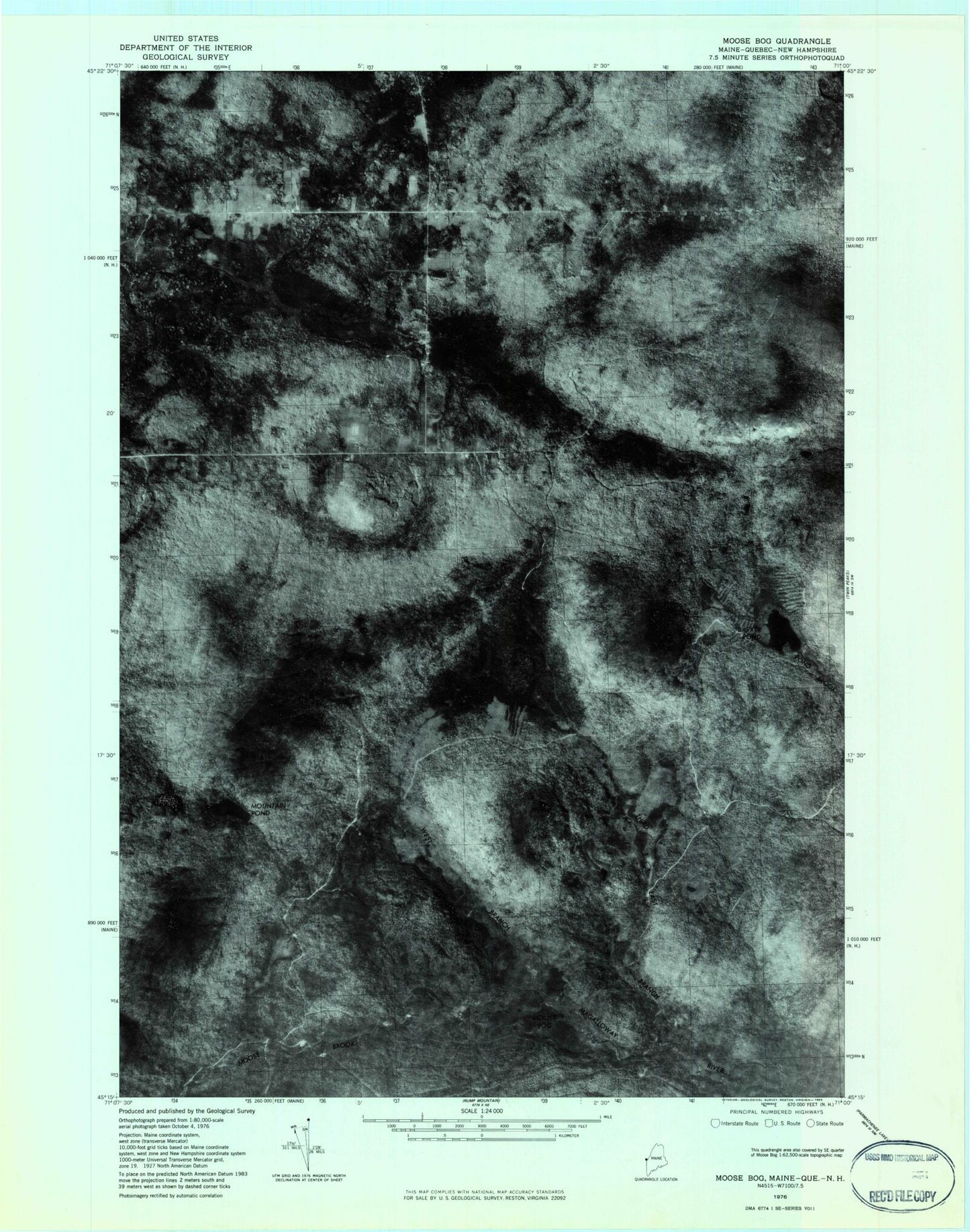
Historical USGS topographic quad map of Moose Bog in the states of Maine, New Hampshire. Typical map scale is 1:24,000, but may vary for certain years, if available. Print size: 24" x 27"
This quadrangle is in the following counties: Coos, Oxford.
The map contains contour lines, roads, rivers, towns, and lakes. Printed on high-quality waterproof paper with UV fade-resistant inks, and shipped rolled.
Contains the following named places: Barker Pond, Bowman Hill, Bowman Ponds, Marble Mountain, Moose Bog, Moose Bog Brook, Saddle Hill, Third East Branch Magalloway River, Bowman Farm (historical), Moose Bog Camp (historical), Bowmantown Township, Boundary Pond, Snag Pond, Rhubarb Pond, Moose Bog Camp (historical), Mount D'Urban, Mountain Pond Dam, Mountain Pond