MyTopo
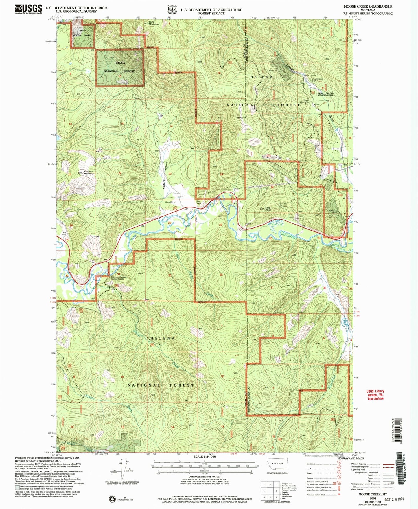
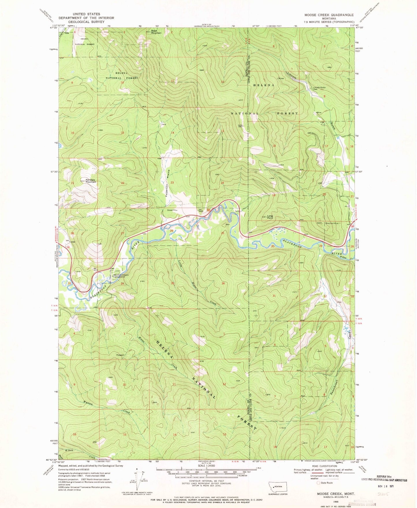
Classic USGS Moose Creek Montana 7.5'x7.5' Topo Map
Couldn't load pickup availability
Historical USGS topographic quad map of Moose Creek in the state of Montana. Map scale may vary for some years, but is generally around 1:24,000. Print size is approximately 24" x 27"
This quadrangle is in the following counties: Lewis and Clark, Powell.
The map contains contour lines, roads, rivers, towns, and lakes. Printed on high-quality waterproof paper with UV fade-resistant inks, and shipped rolled.
Contains the following named places: 14N09W17ACBD01 Well, 14N09W17ACDD01 Well, Black Mountain, Blackfoot Canyon Campground, Blackfoot Canyon Fishing Access, Blackfoot Mine, Blackfoot Tailings, Kershaw Mountain, Lincoln Gulch, Lincoln Gulch Cemetery, Little Moose Creek, Long Point, Moose Creek, Patterson Prairie, Sauerkraut Creek, Shirley Mountain, Site of Old Lincoln, Willow Creek