MyTopo
Classic USGS Moose Lake Wisconsin 7.5'x7.5' Topo Map
Couldn't load pickup availability
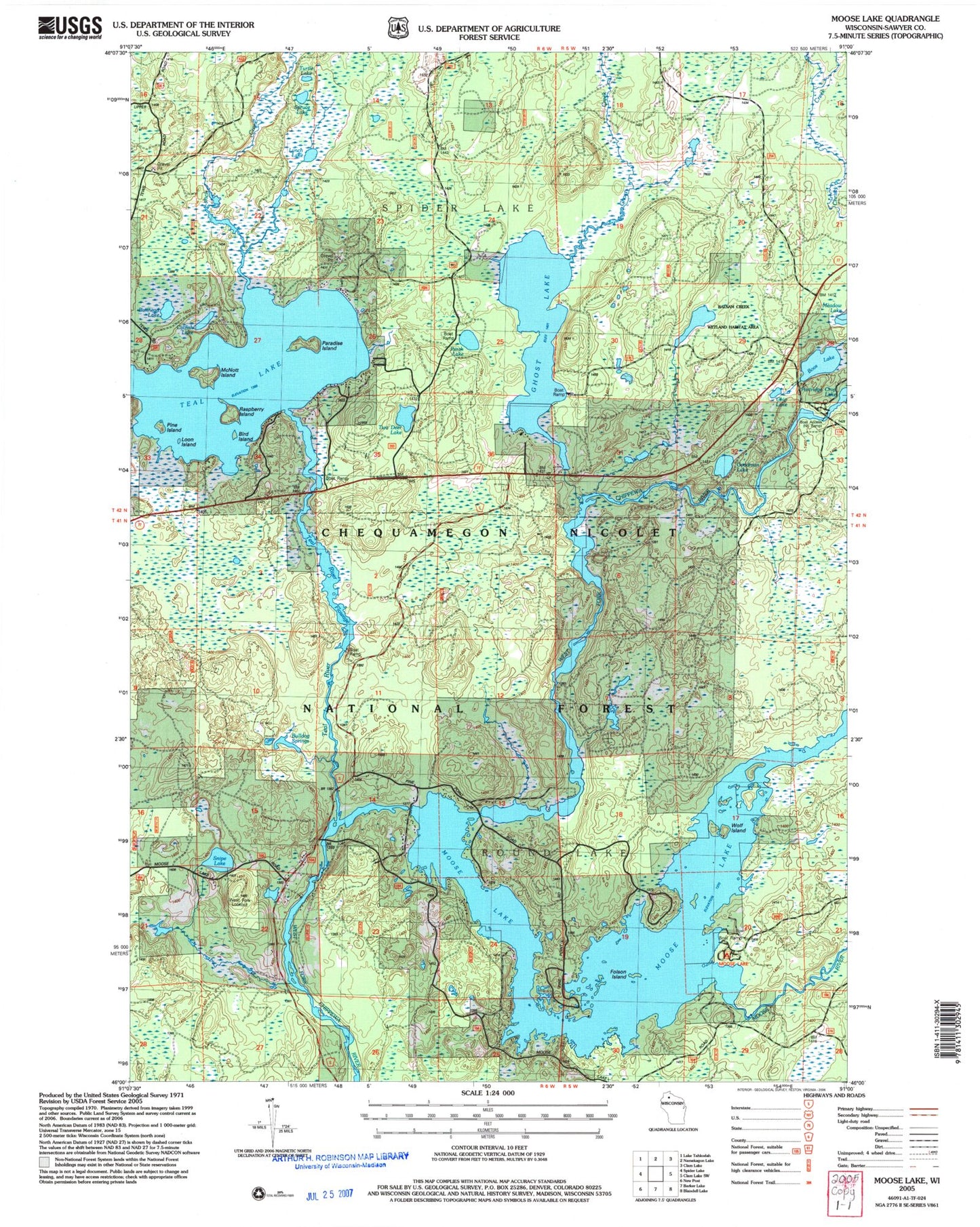
Historical USGS topographic quad map of Moose Lake in the state of Wisconsin. Typical map scale is 1:24,000, but may vary for certain years, if available. Print size: 24" x 27"
This quadrangle is in the following counties: Sawyer.
The map contains contour lines, roads, rivers, towns, and lakes. Printed on high-quality waterproof paper with UV fade-resistant inks, and shipped rolled.
Contains the following named places: Bird Island, Boos Lake, Bulldog Springs, Bullhead Lake, Catfish Lake, Chip Lake, Folson Island, Ghost Creek, Ghost Lake, Goodman Lake, Loon Island, Lynch Creek, Lynch Lake, McNott Island, Moose Lake, Moose River, Paradise Island, Perch Lake, Pine Island, Raspberry Island, Snipe Lake, Spruce Lake, Teal Lake, Teal River, Teal River Flowage, Turtle Lake, Two Deer Lake, Wolf Island, Moose Lake Campground, Chippewa River Campground, Balsam Creek Flowage, Balsam Creek Waterfowl Area, West Fork Lookout Tower, Town of Spider Lake, Ghost Lake WP307 Dam, Ghost Lake 22, Moose Lake 1911 C640 Dam, Moose Lake 190, Sawyer Civilian Conservation Corps Camp (historical), West Fork Dam, West Fork School (historical), Town of Round Lake Fire Department - Station 1


