MyTopo
Classic USGS Moosehead Maine 7.5'x7.5' Topo Map
Couldn't load pickup availability
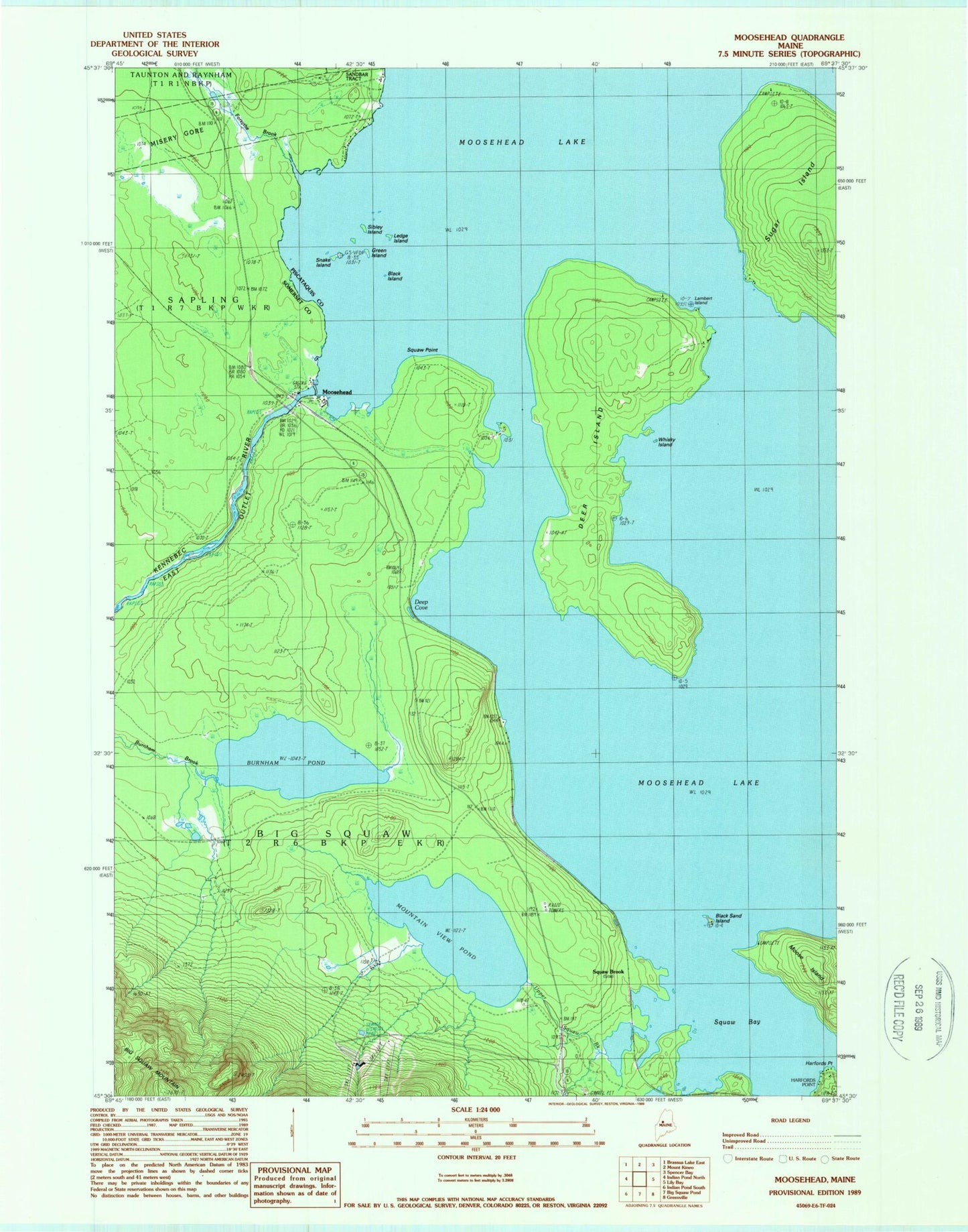
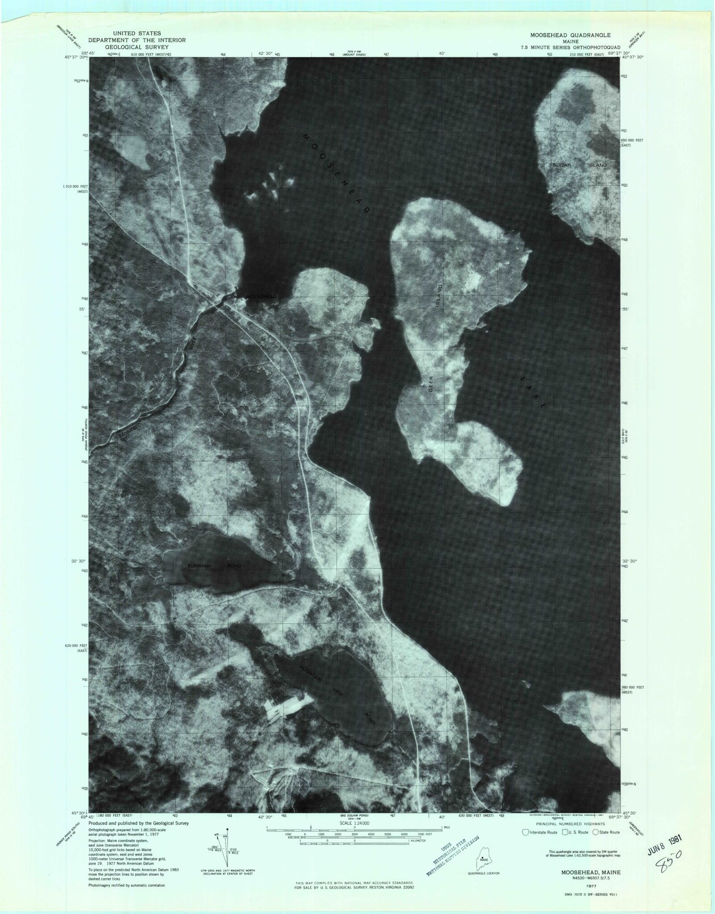
Historical USGS topographic quad map of Moosehead in the state of Maine. Typical map scale is 1:24,000, but may vary for certain years, if available. Print size: 24" x 27"
This quadrangle is in the following counties: Piscataquis, Somerset.
The map contains contour lines, roads, rivers, towns, and lakes. Printed on high-quality waterproof paper with UV fade-resistant inks, and shipped rolled.
Contains the following named places: Black Island, Black Sand Island, Burnham Pond, Deep Cove, Deer Island, Forsythe Brook, Green Island, Lambert Island, Ledge Island, Moose Island, Moosehead, Moosehead Lake, Mountain View Pond, Sibley Island, Snake Island, Moose Bay, Moose Brook, Moose Point, Upper Moose Brook, Whiskey Island, East Outlet Dam, Big Moose Township