MyTopo
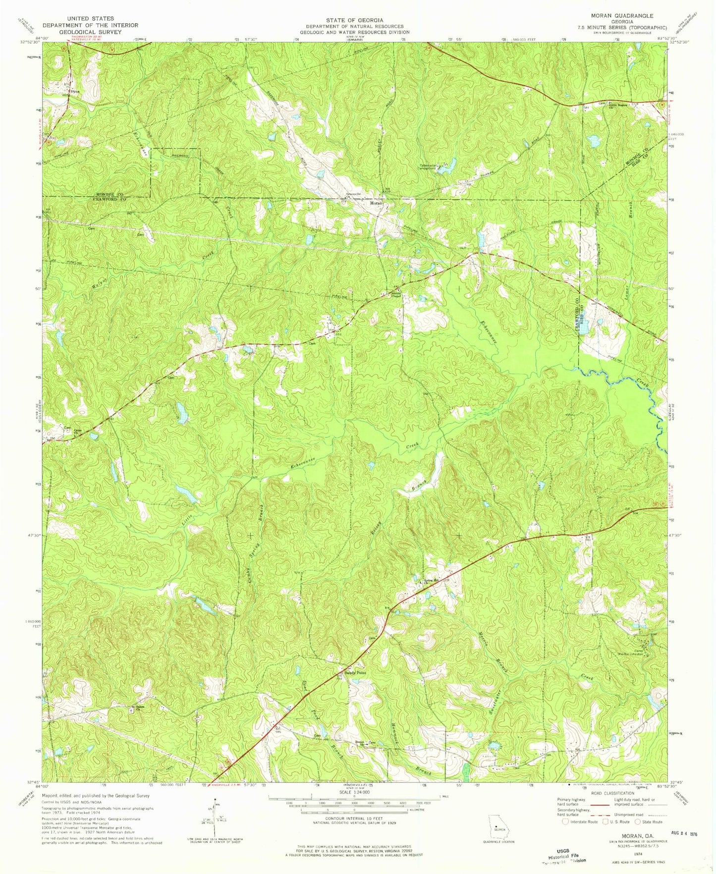
Classic USGS Moran Georgia 7.5'x7.5' Topo Map
Couldn't load pickup availability
Historical USGS topographic quad map of Moran in the state of Georgia. Map scale may vary for some years, but is generally around 1:24,000. Print size is approximately 24" x 27"
This quadrangle is in the following counties: Bibb, Crawford, Monroe.
The map contains contour lines, roads, rivers, towns, and lakes. Printed on high-quality waterproof paper with UV fade-resistant inks, and shipped rolled.
Contains the following named places: A G Smith Family Cemetery, Anderson - Barnes - Bagley Cemetery, Bethel Cemetery, Bethel Church, Bowen Family Cemetery, Camp Martha Johnston, Ceres, Ceres Church, Clifton Creek, Cloud Cemetery, Crawford County Fire Department Station 8, Cumby Spring Branch, Dyas, Greenville Church, Hammock Branch, Hancock Cemetery, Hatcher Lake, Hatcher Lake Dam, Herds Pond, Herds Pond Dam, Hughes Lake, Hughes Lake Dam, Huneycut Lake, Huneycut Lake Dam, Kelsey Branch, Lamar Branch, Little Echeconnee Creek, Little Rogers Church, McCallum - Hart Cemetery, Montpelier, Montpelier Institute, Moran, Morris Branch, Mosely Lake, Mosely Lake Dam, Mount Calvary Church, O'Neal Family Cemetery, Rowell Lake, Rowell Lake Dam, Salem Cemetery, Salem Primitive Baptist Church, Sandy Point, Smith Family Cemetery, Smiths Chapel, Spring Hill Cemetery, Spring Hill Church, Tabernacle Campground, Walker Lake, Walker Lake Dam, Walnut Creek