MyTopo
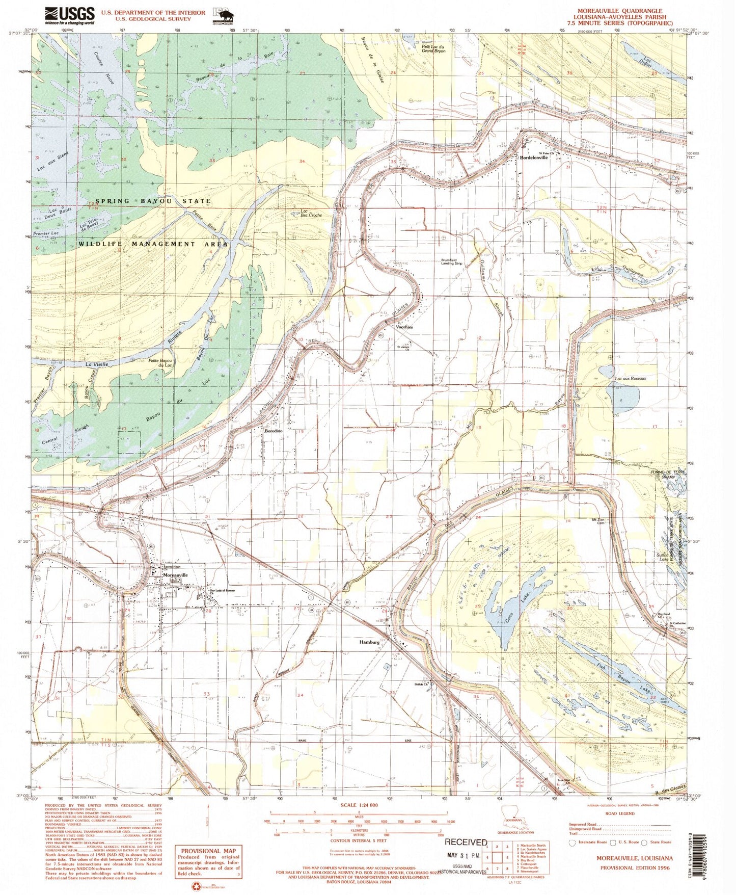
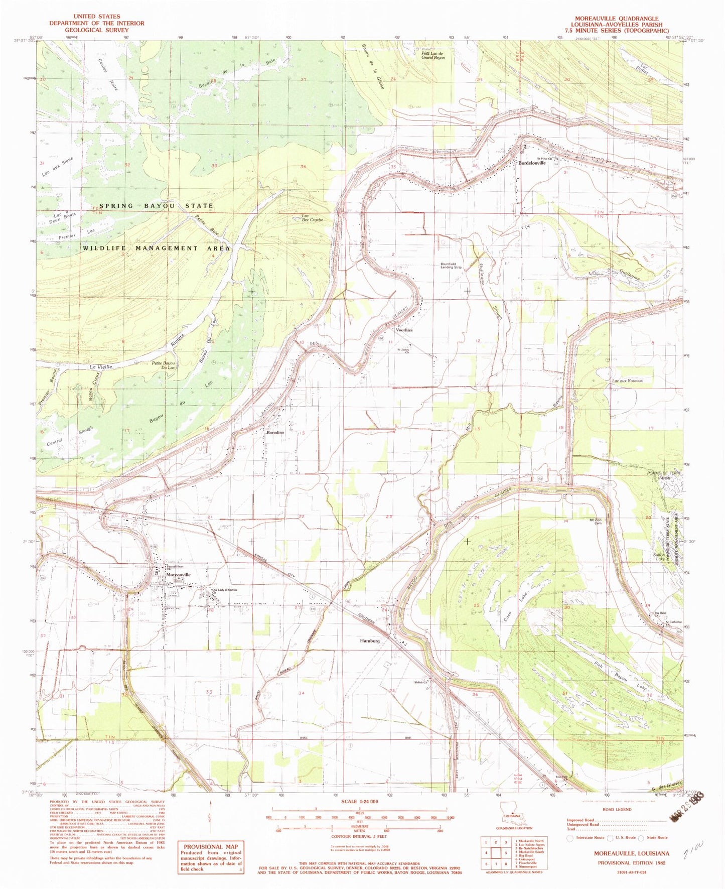
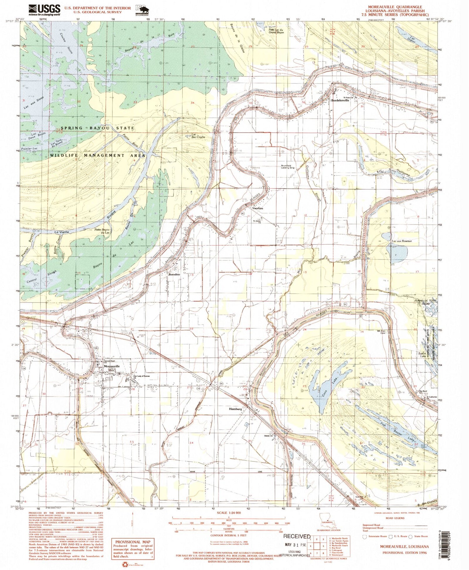
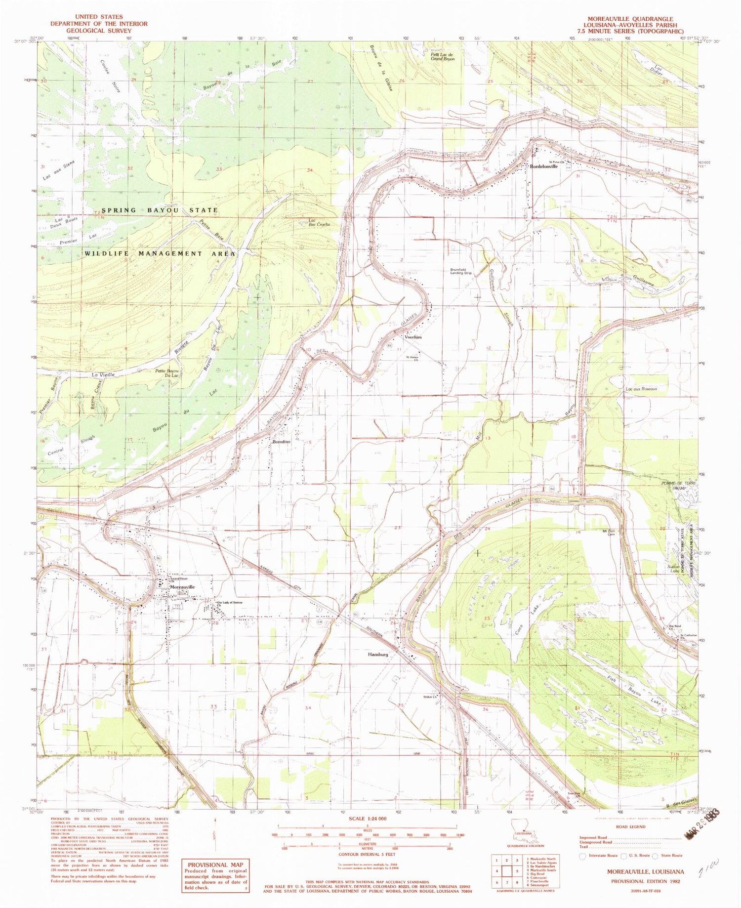
Classic USGS Moreauville Louisiana 7.5'x7.5' Topo Map
Couldn't load pickup availability
Historical USGS topographic quad map of Moreauville in the state of Louisiana. Map scale may vary for some years, but is generally around 1:24,000. Print size is approximately 24" x 27"
This quadrangle is in the following counties: Avoyelles.
The map contains contour lines, roads, rivers, towns, and lakes. Printed on high-quality waterproof paper with UV fade-resistant inks, and shipped rolled.
Contains the following named places: Avoyelles High School, Bayou Creux, Bayou de la Baie, Bayou du Lac, Bayou Du Lac, Bayou Grande Ecore, Bayou Roseau Drainage Canal, Big Bend Church, Bordelonville, Bordelonville Census Designated Place, Bordelonville High School, Bordelonville Post Office, Bordelonville Volunteer Fire Department, Borodino, Borodino Census Designated Place, Brumfield Landing Strip, Central Slough, Coco Lake, Coulee Noire, Fish Bayou Lake, Guillaume Slough, Hamburg, Kent's Flying Service, KLIL-FM (Moreauville), Lac aux Cygnes, Lac aux Roseaux, Lac Bec Croche, Lac Didier, Lac Francois, Lac Gabriel, Lac Tete de Boeuf, Mill Bayou, Moreauville, Moreauville Post Office, Moreauville Volunteer Fire Department, Mount Zion Cemetery, Mount Zion Church, Our Lady of Sorrow Church, Petite Baie, Petite Bayou du Lac, Premier Bayou, Premier Lac, Sacred Heart Church, Sacred Heart School, Saint Catherine Church, Saint James Church, Saint Mark Church, Saint Peter Church, Shiloh Church, Spring Bayou State Wildlife Management Area, True Vine Church, Village of Moreauville, Voorhies, Voorhies Census Designated Place, Ward Eleven, ZIP Code: 71339


