MyTopo
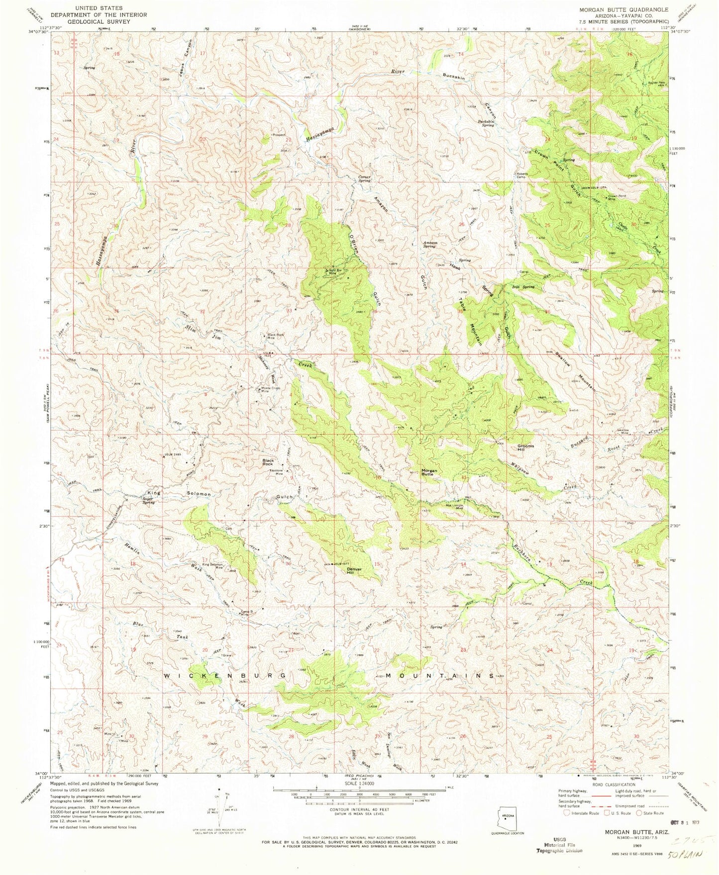
Classic USGS Morgan Butte Arizona 7.5'x7.5' Topo Map
Couldn't load pickup availability
Historical USGS topographic quad map of Morgan Butte in the state of Arizona. Map scale may vary for some years, but is generally around 1:24,000. Print size is approximately 24" x 27"
This quadrangle is in the following counties: Yavapai.
The map contains contour lines, roads, rivers, towns, and lakes. Printed on high-quality waterproof paper with UV fade-resistant inks, and shipped rolled.
Contains the following named places: Abe Lincoln Mine, Amazon Gulch, Amazon Spring, Black Rock, Black Rock Mine, Buckskin Canyon, Buckskin Spring, Camp B Mine, Constellation, Corner Spring, Crown Point Gulch, Crown Point Mine, Denver Hill, Gold Bar Mine, Grooms Hill, Hassayampa River Canyon Wilderness, Hawk Spring Gulch, Iron Spring, Jesus Canyon, Keystone Mine, King Solomon Mine, Mahoney Wash, Monte Cristo Mine, Monte Cristo Substation, Morgan Butte, O'Brien Gulch, Roberts Camp, Sayer Spring, Slim Jim Creek, Swallow Mine, Swallow Mountain, Table Mountain, Wickenburg Mountains


