MyTopo
Classic USGS Morgan Butte Oregon 7.5'x7.5' Topo Map
Couldn't load pickup availability
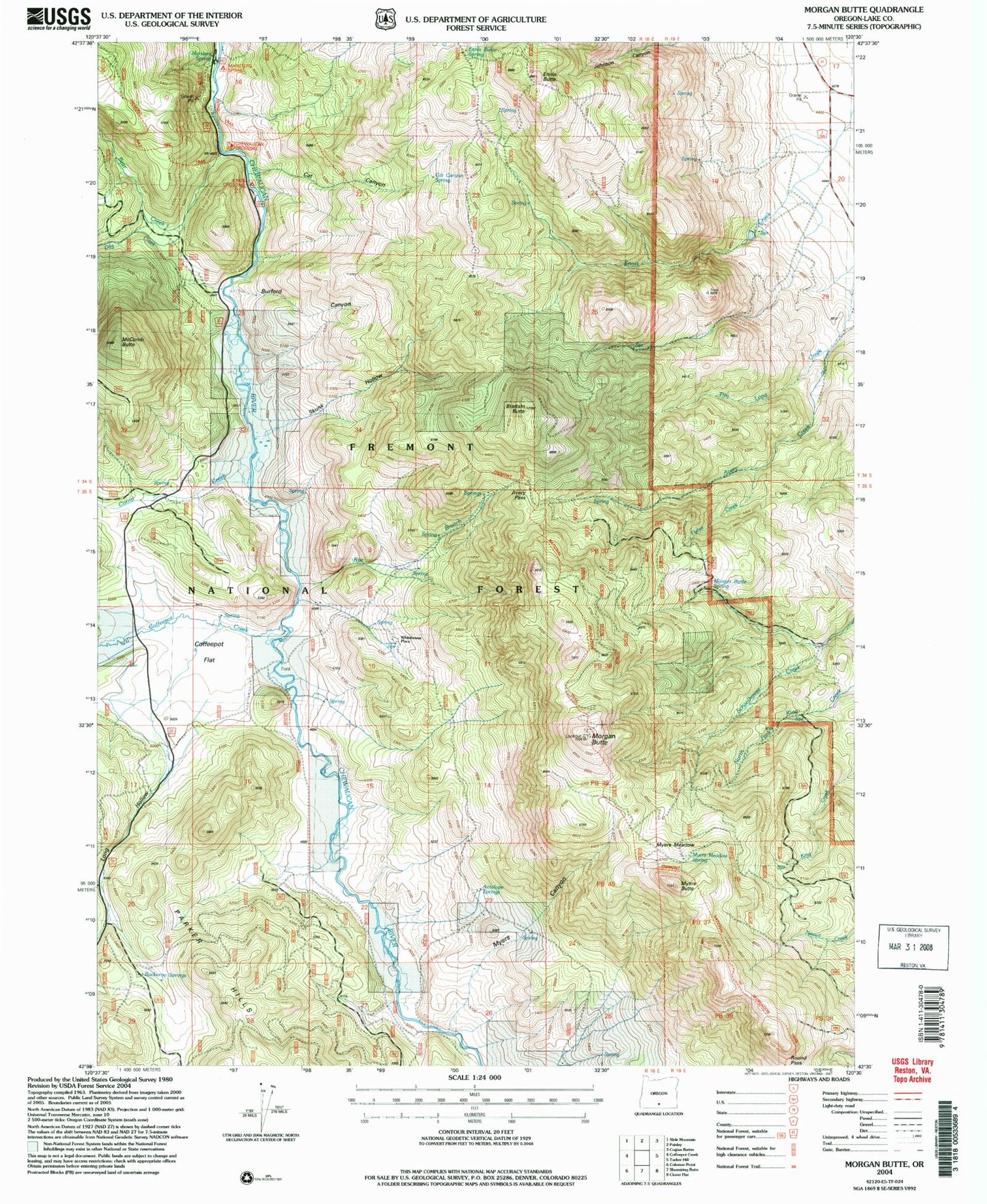
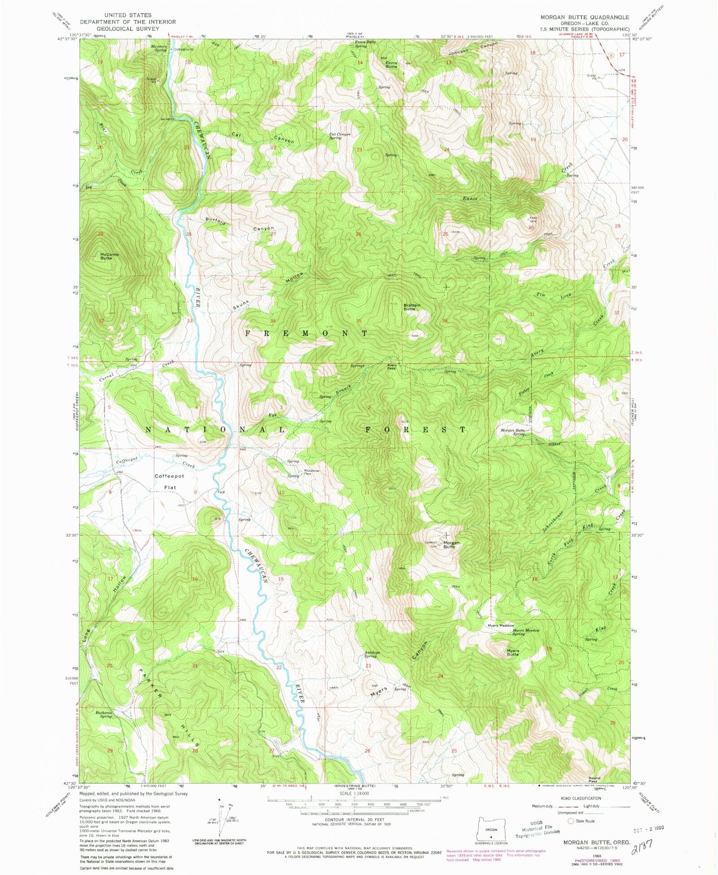
Historical USGS topographic quad map of Morgan Butte in the state of Oregon. Map scale may vary for some years, but is generally around 1:24,000. Print size is approximately 24" x 27"
This quadrangle is in the following counties: Lake.
The map contains contour lines, roads, rivers, towns, and lakes. Printed on high-quality waterproof paper with UV fade-resistant inks, and shipped rolled.
Contains the following named places: Antelope Creek, Antelope Spring, Avery Creek, Avery Pass, Bear Creek, Brattain Butte, Buckaroo Spring, Burford Canyon, Cat Canyon, Cat Canyon Spring, Chewaucan Crossing Trailhead, Coffeepot Creek, Coffeepot Flat, Corral Creek, Dog Creek, Ennis Butte, Ennis Butte Spring, Fisher Creek, Jones Crossing Recreation Site, Jones Trail, Long Hollow, Marsters Spring, Marsters Spring Recreation Site, McComb Butte, Morgan Butte, Morgan Butte Lookout, Morgan Butte Spring, Myers Butte, Myers Canyon, Myers Meadow, Myers Meadow Spring, Rye Branch, Skunk Hollow, Upper Jones Recreation Site, Upper Marsters Spring Recreation Site, Whitehouse Place, ZIP Code: 97636